Estimated Value: $189,000 - $1,291,988
--
Bed
2
Baths
1,688
Sq Ft
$439/Sq Ft
Est. Value
About This Home
This home is located at 1940 Howard Rd, Pavo, GA 31778 and is currently estimated at $740,494, approximately $438 per square foot. 1940 Howard Rd is a home located in Brooks County with nearby schools including North Brooks Elementary School.
Ownership History
Date
Name
Owned For
Owner Type
Purchase Details
Closed on
Sep 20, 2025
Sold by
Donovan John Patrick
Bought by
Donovan Robert Michael
Current Estimated Value
Purchase Details
Closed on
Sep 19, 2025
Sold by
Donovan Robert Michael Tr
Bought by
Donovan Robert Michael
Purchase Details
Closed on
Mar 20, 2014
Sold by
Dailey Mary T
Bought by
Conservation Use Covenant Recording
Purchase Details
Closed on
Jan 28, 2000
Sold by
Amason Claire I and Amason James D
Bought by
Dailey Mary T
Purchase Details
Closed on
Mar 1, 1995
Sold by
Amason James D Etal
Bought by
Amason Claire I and Amason James D
Purchase Details
Closed on
Jun 1, 1994
Sold by
Tabio Paul and Tabio Margarita
Bought by
Amason James D Etal
Create a Home Valuation Report for This Property
The Home Valuation Report is an in-depth analysis detailing your home's value as well as a comparison with similar homes in the area
Home Values in the Area
Average Home Value in this Area
Purchase History
| Date | Buyer | Sale Price | Title Company |
|---|---|---|---|
| Donovan Robert Michael | -- | -- | |
| Donovan Robert Michael | -- | -- | |
| Conservation Use Covenant Recording | -- | -- | |
| Dailey Mary T | $260,000 | -- | |
| Amason Claire I | -- | -- | |
| Amason James D Etal | $188,000 | -- |
Source: Public Records
Tax History Compared to Growth
Tax History
| Year | Tax Paid | Tax Assessment Tax Assessment Total Assessment is a certain percentage of the fair market value that is determined by local assessors to be the total taxable value of land and additions on the property. | Land | Improvement |
|---|---|---|---|---|
| 2025 | $3,042 | $330,504 | $276,240 | $54,264 |
| 2024 | $3,042 | $330,504 | $276,240 | $54,264 |
| 2023 | $2,435 | $293,344 | $243,280 | $50,064 |
| 2022 | $2,730 | $268,584 | $231,680 | $36,904 |
| 2021 | $2,588 | $220,344 | $186,200 | $34,144 |
| 2020 | $6,111 | $220,024 | $186,200 | $33,824 |
| 2019 | $2,409 | $195,504 | $163,440 | $32,064 |
| 2018 | $5,806 | $198,784 | $166,720 | $32,064 |
| 2017 | $2,319 | $197,544 | $166,720 | $30,824 |
| 2016 | $2,308 | $197,544 | $166,720 | $30,824 |
| 2015 | -- | $197,704 | $166,720 | $30,984 |
| 2014 | -- | $198,184 | $166,720 | $31,464 |
| 2013 | -- | $198,132 | $158,240 | $39,892 |
Source: Public Records
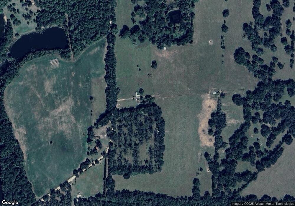
Map
Nearby Homes
- 1136 Nesbitt Rd
- 1038-BA Church St
- 7402 Coffee Rd
- 2055 S Roberts St
- 2051 W Pear St
- 1230 Parrish Rd
- 813 Vonier Road (6 Acres)
- 13876 Ga Highway 122
- 431 Dry Lake Rd
- 9900 Ozell Rd
- 7921 Five Forks Rd
- 2818 Dry Lake Rd
- 16343 Georgia 33
- 16343 Ga Hwy 33 -8 34 Acres
- 16343
- 16343 Ga Hwy 33 - 8 34 Acres Hwy
- 9283 Tallokas Rd Unit 54/13
- 9283 Tallokas Rd
- 110 Nicole Britt Dr
- 101 Bailey Cir
- 0 Howard St
- 1835 Howard Rd
- 2117 Howard Rd
- 1734 Howard Rd
- 1730 Howard Rd
- 2125 Howard Rd
- 0 Rd
- 2782 Howard Rd
- 215 Booker Ln
- 2848 Howard Rd
- 395 Booker Ln
- 415 Booker Ln
- 425 Booker Ln
- 12640 Barwick Rd
- 3048 Howard Rd
- 0000 Nesbitt Rd (16+ -Acres)
- 960 Nesbitt Rd
- 273 Booker Ln
- 00 Nesbitt Road (25+ - Acres)
- 294 Chad Rd