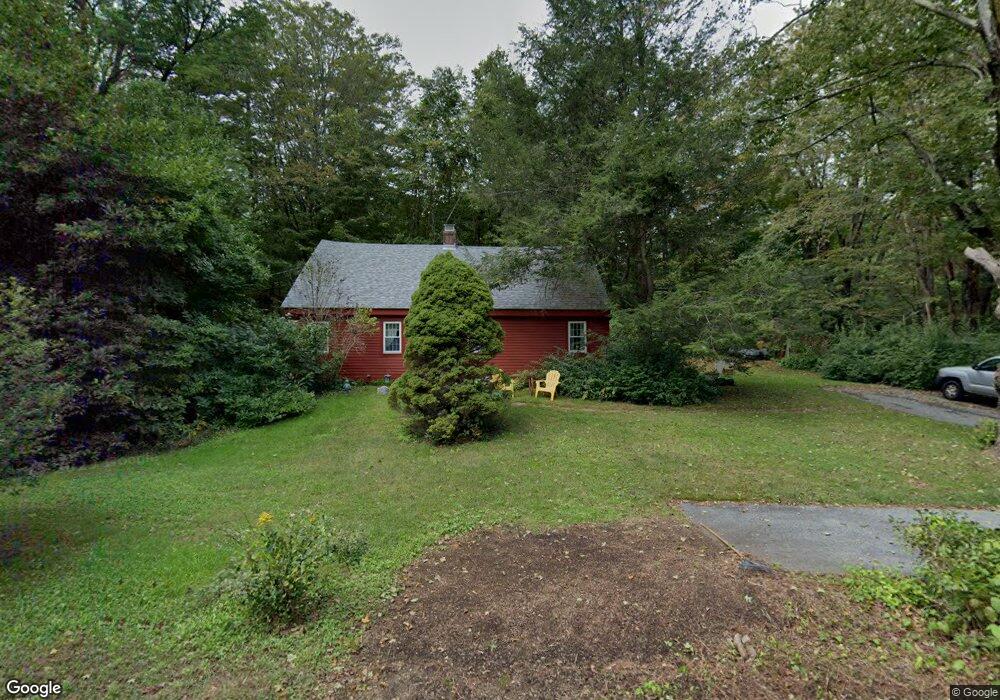
1940 Route 198 Woodstock, CT 06281
Estimated Value: $340,074 - $399,000
3
Beds
3
Baths
1,680
Sq Ft
$217/Sq Ft
Est. Value
About This Home
This home is located at 1940 Route 198, Woodstock, CT 06281 and is currently estimated at $364,019, approximately $216 per square foot. 1940 Route 198 is a home located in Windham County with nearby schools including Woodstock Elementary School and Woodstock Middle School.
Create a Home Valuation Report for This Property
The Home Valuation Report is an in-depth analysis detailing your home's value as well as a comparison with similar homes in the area
Home Values in the Area
Average Home Value in this Area
Tax History Compared to Growth
Tax History
| Year | Tax Paid | Tax Assessment Tax Assessment Total Assessment is a certain percentage of the fair market value that is determined by local assessors to be the total taxable value of land and additions on the property. | Land | Improvement |
|---|---|---|---|---|
| 2025 | $3,632 | $148,800 | $18,500 | $130,300 |
| 2024 | $3,428 | $148,800 | $18,500 | $130,300 |
| 2023 | $3,335 | $148,800 | $18,500 | $130,300 |
| 2022 | $3,102 | $148,800 | $18,500 | $130,300 |
| 2021 | $3,139 | $123,100 | $20,700 | $102,400 |
| 2020 | $2,641 | $107,800 | $21,800 | $86,000 |
| 2019 | $2,641 | $107,800 | $21,800 | $86,000 |
| 2018 | $2,641 | $107,800 | $21,800 | $86,000 |
| 2017 | $2,620 | $107,800 | $21,800 | $86,000 |
| 2016 | $2,450 | $101,900 | $27,200 | $74,700 |
| 2015 | $2,380 | $101,900 | $27,200 | $74,700 |
| 2014 | $2,354 | $101,900 | $27,200 | $74,700 |
Source: Public Records
Map
Nearby Homes
- 00 Ide Perrin Rd
- 504 Alpine Dr
- 55 Pond View Dr
- 278 Child Rd
- 0 Rr 197 Rd
- 1820 Route 197
- 389 Breakneck Rd
- 71 Rawson Rd
- 28 Servant Way
- 0 English Neighborhood Rd
- 0 Alpine Dr
- 104 Hilltop Dr Unit 2
- 21 Howard Rd
- 691 Dennison Dr
- 42 Breakneck Rd
- 1023 N Woodstock Rd
- 99 Lebanon Hill Rd
- 22 Jacobs Rd
- 467 Durfee St
- 1669 Route 169