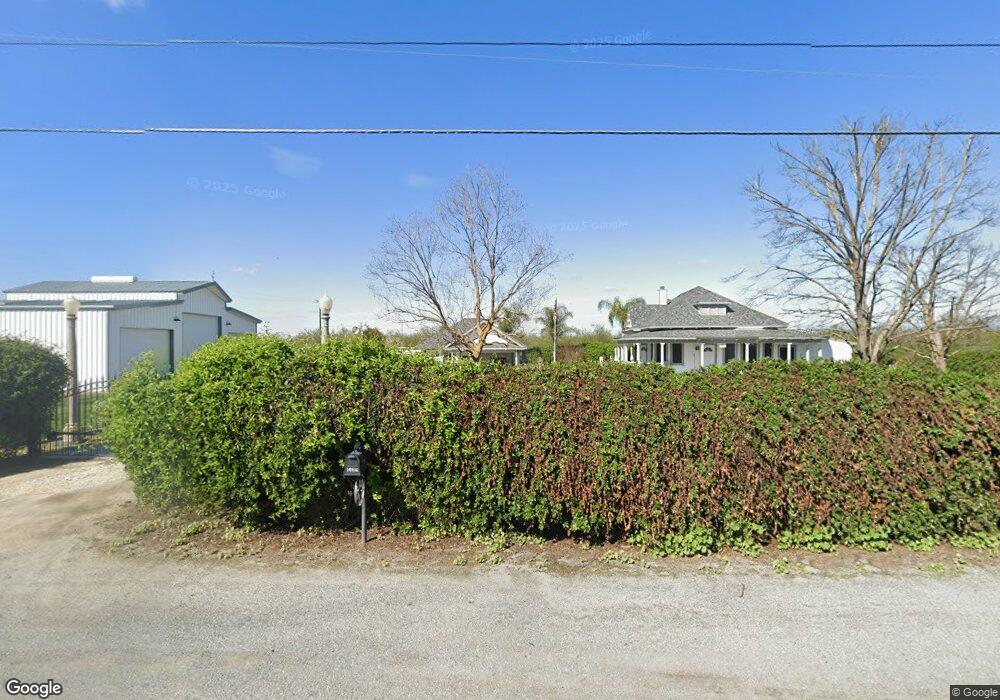
19406 Avenue 152 Porterville, CA 93257
Estimated Value: $297,000 - $400,000
2
Beds
1
Bath
1,760
Sq Ft
$197/Sq Ft
Est. Value
About This Home
This home is located at 19406 Avenue 152, Porterville, CA 93257 and is currently estimated at $346,020, approximately $196 per square foot. 19406 Avenue 152 is a home located in Tulare County with nearby schools including Woodville Elementary School, Monache High School, and Strathmore High School.
Ownership History
Date
Name
Owned For
Owner Type
Purchase Details
Closed on
Nov 19, 2020
Sold by
Cooksey Phillip A
Bought by
Cooksey Phillip A and Cooksey Lisa Diane
Current Estimated Value
Home Financials for this Owner
Home Financials are based on the most recent Mortgage that was taken out on this home.
Original Mortgage
$184,000
Outstanding Balance
$163,437
Interest Rate
2.7%
Mortgage Type
New Conventional
Estimated Equity
$182,583
Purchase Details
Closed on
Aug 24, 2015
Sold by
Cooksey Phillip A
Bought by
Cooksey Phillip A
Home Financials for this Owner
Home Financials are based on the most recent Mortgage that was taken out on this home.
Original Mortgage
$148,800
Interest Rate
4.05%
Mortgage Type
New Conventional
Purchase Details
Closed on
Oct 21, 2010
Sold by
Waters John D
Bought by
Cooksey Phillip A
Home Financials for this Owner
Home Financials are based on the most recent Mortgage that was taken out on this home.
Original Mortgage
$130,000
Interest Rate
4.17%
Mortgage Type
Seller Take Back
Purchase Details
Closed on
Nov 19, 2009
Sold by
Waters John D
Bought by
Waters John D
Purchase Details
Closed on
Jul 7, 2009
Sold by
Hauk Paul A and Hauk Shawn L
Bought by
Waters John D and Hauk Shawn L
Purchase Details
Closed on
Oct 18, 2006
Sold by
Waters John D and Waters Betty L
Bought by
Hauk Paul A and Hauk Shawn L
Home Financials for this Owner
Home Financials are based on the most recent Mortgage that was taken out on this home.
Original Mortgage
$160,000
Interest Rate
6.38%
Mortgage Type
Seller Take Back
Purchase Details
Closed on
Jun 30, 2000
Sold by
Dunn Coy and Dunn Bonnie
Bought by
Waters John D and Waters Betty L
Purchase Details
Closed on
Jun 2, 2000
Sold by
Hearold Brian
Bought by
Jones Jamie and Jones Kim
Purchase Details
Closed on
Mar 2, 1995
Sold by
Waters John D and Waters Betty L
Bought by
Dunn Coy and Dunn Bonnie
Home Financials for this Owner
Home Financials are based on the most recent Mortgage that was taken out on this home.
Original Mortgage
$120,000
Interest Rate
8.86%
Mortgage Type
Seller Take Back
Create a Home Valuation Report for This Property
The Home Valuation Report is an in-depth analysis detailing your home's value as well as a comparison with similar homes in the area
Home Values in the Area
Average Home Value in this Area
Purchase History
| Date | Buyer | Sale Price | Title Company |
|---|---|---|---|
| Cooksey Phillip A | -- | American Coast Title | |
| Cooksey Phillip A | -- | Chicago Title Company | |
| Cooksey Phillip A | $140,000 | Chicago Title Company | |
| Waters John D | -- | None Available | |
| Waters John D | $165,574 | Chicago Title Company | |
| Hauk Paul A | $180,000 | Chicago Title Co | |
| Waters John D | $100,248 | First American Title Co | |
| Jones Jamie | -- | -- | |
| Dunn Coy | $160,000 | Chicago Title Company |
Source: Public Records
Mortgage History
| Date | Status | Borrower | Loan Amount |
|---|---|---|---|
| Open | Cooksey Phillip A | $184,000 | |
| Closed | Cooksey Phillip A | $148,800 | |
| Previous Owner | Cooksey Phillip A | $130,000 | |
| Previous Owner | Hauk Paul A | $160,000 | |
| Previous Owner | Dunn Coy | $120,000 |
Source: Public Records
Tax History Compared to Growth
Tax History
| Year | Tax Paid | Tax Assessment Tax Assessment Total Assessment is a certain percentage of the fair market value that is determined by local assessors to be the total taxable value of land and additions on the property. | Land | Improvement |
|---|---|---|---|---|
| 2025 | $1,745 | $220,979 | $76,868 | $144,111 |
| 2024 | $1,745 | $175,847 | $75,361 | $100,486 |
| 2023 | $1,743 | $172,400 | $73,884 | $98,516 |
| 2022 | $1,671 | $169,021 | $72,436 | $96,585 |
| 2021 | $1,648 | $165,707 | $71,016 | $94,691 |
| 2020 | $1,623 | $164,008 | $70,288 | $93,720 |
| 2019 | $1,589 | $160,792 | $68,910 | $91,882 |
| 2018 | $1,557 | $157,639 | $67,559 | $90,080 |
| 2017 | $1,529 | $154,548 | $66,234 | $88,314 |
| 2016 | $1,464 | $151,517 | $64,935 | $86,582 |
| 2015 | $1,408 | $149,241 | $63,960 | $85,281 |
| 2014 | $1,408 | $146,317 | $62,707 | $83,610 |
Source: Public Records
Map
Nearby Homes
- 14725 Walker Rd
- 0 SW Road 192 Unit# 20
- 0 SW Road 192 Unit#19
- 0 SW Road 192 Unit #21 Unit 232747
- 18925 Avenue 168
- 17771 Avenue 152
- 13250 Road 184
- 13291 Road 184
- 0 Avenue 168 Unit 237962
- 0 Avenue 168 Unit 235558
- 249 S Westwood St
- 15247 Road 223
- 575 N Brandy Way
- 2540 W Porter Creek Ave
- 16847 Road 168
- 2320 W Kanai Ave
- 2300 W Morton Ave Unit 163
- 2300 W Morton Ave Unit 22
- 2300 W Morton Ave Unit 135
- 2280 W Glenn Ave
- 19416 Avenue 152
- 15366 Road 192
- 15095 Mountain View Dr
- 15083 Road 192
- 15071 E Mountain View Dr
- 19141 Avenue 152
- 15069 Road 192
- 19150 Avenue 151
- 19153 Avenue 151
- 19139 Avenue 151
- 19113 Avenue 152
- 19176 Avenue 150
- 19121 Avenue 151
- 19079 Avenue 152
- 19154 Avenue 150
- 19104 Avenue 151
- 19111 Avenue 151
- 19136 Avenue 150
- 19124 Avenue 150
- 19155 Avenue 150