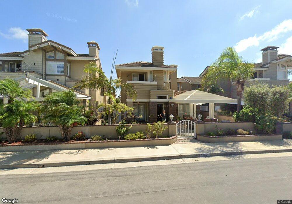
1942 Pine St Huntington Beach, CA 92648
Estimated Value: $1,929,863 - $2,155,000
3
Beds
3
Baths
2,969
Sq Ft
$694/Sq Ft
Est. Value
About This Home
This home is located at 1942 Pine St, Huntington Beach, CA 92648 and is currently estimated at $2,059,216, approximately $693 per square foot. 1942 Pine St is a home located in Orange County with nearby schools including Agnes L. Smith Elementary, Ethel Dwyer Middle, and Huntington Beach High School.
Ownership History
Date
Name
Owned For
Owner Type
Purchase Details
Closed on
Dec 1, 2009
Sold by
Joe Harry N and Joe Trudee I
Bought by
Joe Harry N and Joe Trudee I
Current Estimated Value
Purchase Details
Closed on
Jul 8, 2003
Sold by
Joe Trudee I
Bought by
Joe Harry N
Home Financials for this Owner
Home Financials are based on the most recent Mortgage that was taken out on this home.
Original Mortgage
$237,000
Interest Rate
5.18%
Mortgage Type
Stand Alone First
Purchase Details
Closed on
Sep 27, 1993
Sold by
Civic Center Partners
Bought by
Joe Harry N and Joe Trudee I
Home Financials for this Owner
Home Financials are based on the most recent Mortgage that was taken out on this home.
Original Mortgage
$327,600
Interest Rate
7.09%
Create a Home Valuation Report for This Property
The Home Valuation Report is an in-depth analysis detailing your home's value as well as a comparison with similar homes in the area
Home Values in the Area
Average Home Value in this Area
Purchase History
| Date | Buyer | Sale Price | Title Company |
|---|---|---|---|
| Joe Harry N | -- | None Available | |
| Joe Harry N | -- | North American Title Co | |
| Joe Harry N | $409,500 | First American Title Ins Co |
Source: Public Records
Mortgage History
| Date | Status | Borrower | Loan Amount |
|---|---|---|---|
| Closed | Joe Harry N | $237,000 | |
| Previous Owner | Joe Harry N | $327,600 |
Source: Public Records
Tax History Compared to Growth
Tax History
| Year | Tax Paid | Tax Assessment Tax Assessment Total Assessment is a certain percentage of the fair market value that is determined by local assessors to be the total taxable value of land and additions on the property. | Land | Improvement |
|---|---|---|---|---|
| 2025 | $7,960 | $707,268 | $272,375 | $434,893 |
| 2024 | $7,960 | $693,400 | $267,034 | $426,366 |
| 2023 | $7,780 | $679,804 | $261,798 | $418,006 |
| 2022 | $7,575 | $666,475 | $256,665 | $409,810 |
| 2021 | $7,320 | $643,016 | $251,632 | $391,384 |
| 2020 | $7,272 | $636,423 | $249,052 | $387,371 |
| 2019 | $7,184 | $623,945 | $244,169 | $379,776 |
| 2018 | $7,073 | $611,711 | $239,381 | $372,330 |
| 2017 | $6,977 | $599,717 | $234,687 | $365,030 |
| 2016 | $6,668 | $587,958 | $230,085 | $357,873 |
| 2015 | $6,603 | $579,127 | $226,629 | $352,498 |
| 2014 | $6,464 | $567,783 | $222,189 | $345,594 |
Source: Public Records
Map
Nearby Homes
- 1915 Pine St
- 1828 Pine St
- 1821 Lake St
- 1824 Park St
- 215 Wichita Ave Unit 106
- 19561 Pompano Ln Unit 106
- 19562 Pompano Ln Unit 107
- 19562 Pompano Ln Unit 108
- 19581 Pompano Ln Unit 107
- 7412 Seabluff Dr Unit 108
- 19451 Pompano Ln Unit 110
- 19502 Ranch Ln Unit 112
- 1701 Lake St
- 19412 Pompano Ln Unit 106
- 7262 Yellowtail Dr
- 118 Adams Ave
- 2612 Del Way Unit B
- 302 Cleveland Ave
- 19311 Sunray Ln Unit 426
- 215 Portland Ave