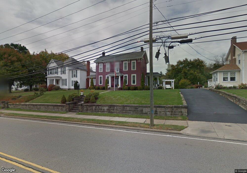
1947 Saint Clair Ave East Liverpool, OH 43920
Estimated Value: $193,000 - $277,000
3
Beds
2
Baths
2,604
Sq Ft
$86/Sq Ft
Est. Value
About This Home
This home is located at 1947 Saint Clair Ave, East Liverpool, OH 43920 and is currently estimated at $224,883, approximately $86 per square foot. 1947 Saint Clair Ave is a home located in Columbiana County with nearby schools including Westgate Middle School, North Elementary School, and East Liverpool High School.
Ownership History
Date
Name
Owned For
Owner Type
Purchase Details
Closed on
Jul 16, 1999
Sold by
Taylor Randy L and Price Janet S
Bought by
Kotfis Anthony Lee and Kotfis Rhea Lyn
Current Estimated Value
Home Financials for this Owner
Home Financials are based on the most recent Mortgage that was taken out on this home.
Original Mortgage
$75,000
Interest Rate
7.54%
Create a Home Valuation Report for This Property
The Home Valuation Report is an in-depth analysis detailing your home's value as well as a comparison with similar homes in the area
Home Values in the Area
Average Home Value in this Area
Purchase History
| Date | Buyer | Sale Price | Title Company |
|---|---|---|---|
| Kotfis Anthony Lee | $135,000 | -- |
Source: Public Records
Mortgage History
| Date | Status | Borrower | Loan Amount |
|---|---|---|---|
| Closed | Kotfis Anthony Lee | $75,000 |
Source: Public Records
Tax History Compared to Growth
Tax History
| Year | Tax Paid | Tax Assessment Tax Assessment Total Assessment is a certain percentage of the fair market value that is determined by local assessors to be the total taxable value of land and additions on the property. | Land | Improvement |
|---|---|---|---|---|
| 2024 | $2,481 | $60,410 | $4,900 | $55,510 |
| 2023 | $2,482 | $60,410 | $4,900 | $55,510 |
| 2022 | $2,483 | $60,410 | $4,900 | $55,510 |
| 2021 | $2,198 | $49,040 | $4,900 | $44,140 |
| 2020 | $2,201 | $49,040 | $4,900 | $44,140 |
| 2019 | $2,201 | $49,040 | $4,900 | $44,140 |
| 2018 | $2,131 | $44,560 | $4,450 | $40,110 |
| 2017 | $2,243 | $44,560 | $4,450 | $40,110 |
| 2016 | $2,039 | $41,720 | $7,210 | $34,510 |
| 2015 | $2,039 | $41,720 | $7,210 | $34,510 |
| 2014 | $2,016 | $41,720 | $7,210 | $34,510 |
Source: Public Records
Map
Nearby Homes
- 628 Fisher Ave
- 1714 Allison St
- 1519 Saint Clair Ave
- 1520 Smithfield St
- 1507 Saint Clair Ave
- 120 Woodbine
- 921 Orchard Grove Ave
- 920 Mckinnon Ave
- 1178 Oliver St
- 925 Montgomery St
- 316 Carolina Ave
- 49536 Sunset Dr
- 1234 Sunnyside St
- 0 Armstrong Ln
- 1332 Sunnyside St
- 1615 Montrose St
- 849 Cadmus St
- 929 Bank St
- 306 Imperial Dr
- 820 Chester St
- 1953 Saint Clair Ave
- 1925 Saint Clair Ave
- 540 Henry Ave
- 1925 Smithfield St
- 1921 Smithfield St Unit 1923
- 1921 Smithfield St
- 2001 Saint Clair Ave
- 542 Henry Ave
- 1903 Saint Clair Ave
- 1904 Smithfield St
- 1926 Allison St
- 1924 Allison St
- 1900 Smithfield St
- 0 Mcnutt St Unit 4456582
- 0 Mcnutt St Unit 4456576
- 601 Henry Ave
- 451 Gardendale St
- 1904 Allison St
- 1905 Smithfield St
- 1927 Allison St