195 Breezewood Ln Lexington, NC 27292
Estimated Value: $167,000 - $356,000
3
Beds
2
Baths
3,746
Sq Ft
$78/Sq Ft
Est. Value
About This Home
This home is located at 195 Breezewood Ln, Lexington, NC 27292 and is currently estimated at $293,234, approximately $78 per square foot. 195 Breezewood Ln is a home located in Davidson County with nearby schools including Davis-Townsend Elementary School, Central Davidson Middle School, and Central Davidson High School.
Ownership History
Date
Name
Owned For
Owner Type
Purchase Details
Closed on
May 2, 2018
Sold by
Horn Amy C and Horn James A
Bought by
Conard Gregory S and Conrad Barbara G
Current Estimated Value
Home Financials for this Owner
Home Financials are based on the most recent Mortgage that was taken out on this home.
Original Mortgage
$87,700
Outstanding Balance
$76,312
Interest Rate
4.87%
Mortgage Type
Adjustable Rate Mortgage/ARM
Estimated Equity
$216,922
Purchase Details
Closed on
Sep 8, 1999
Bought by
Clodfelter Amy Conrad
Create a Home Valuation Report for This Property
The Home Valuation Report is an in-depth analysis detailing your home's value as well as a comparison with similar homes in the area
Home Values in the Area
Average Home Value in this Area
Purchase History
| Date | Buyer | Sale Price | Title Company |
|---|---|---|---|
| Conard Gregory S | $88,000 | None Available | |
| Clodfelter Amy Conrad | -- | -- |
Source: Public Records
Mortgage History
| Date | Status | Borrower | Loan Amount |
|---|---|---|---|
| Open | Conard Gregory S | $87,700 |
Source: Public Records
Tax History Compared to Growth
Tax History
| Year | Tax Paid | Tax Assessment Tax Assessment Total Assessment is a certain percentage of the fair market value that is determined by local assessors to be the total taxable value of land and additions on the property. | Land | Improvement |
|---|---|---|---|---|
| 2025 | $1,064 | $168,730 | $0 | $0 |
| 2024 | $1,064 | $168,730 | $0 | $0 |
| 2023 | $1,064 | $168,730 | $0 | $0 |
| 2022 | $1,064 | $168,730 | $0 | $0 |
| 2021 | $1,030 | $168,730 | $0 | $0 |
| 2020 | $936 | $153,230 | $0 | $0 |
| 2019 | $950 | $153,230 | $0 | $0 |
| 2018 | $811 | $130,840 | $0 | $0 |
| 2017 | $811 | $130,840 | $0 | $0 |
| 2016 | $811 | $130,840 | $0 | $0 |
| 2015 | $811 | $130,840 | $0 | $0 |
| 2014 | $723 | $116,600 | $0 | $0 |
Source: Public Records
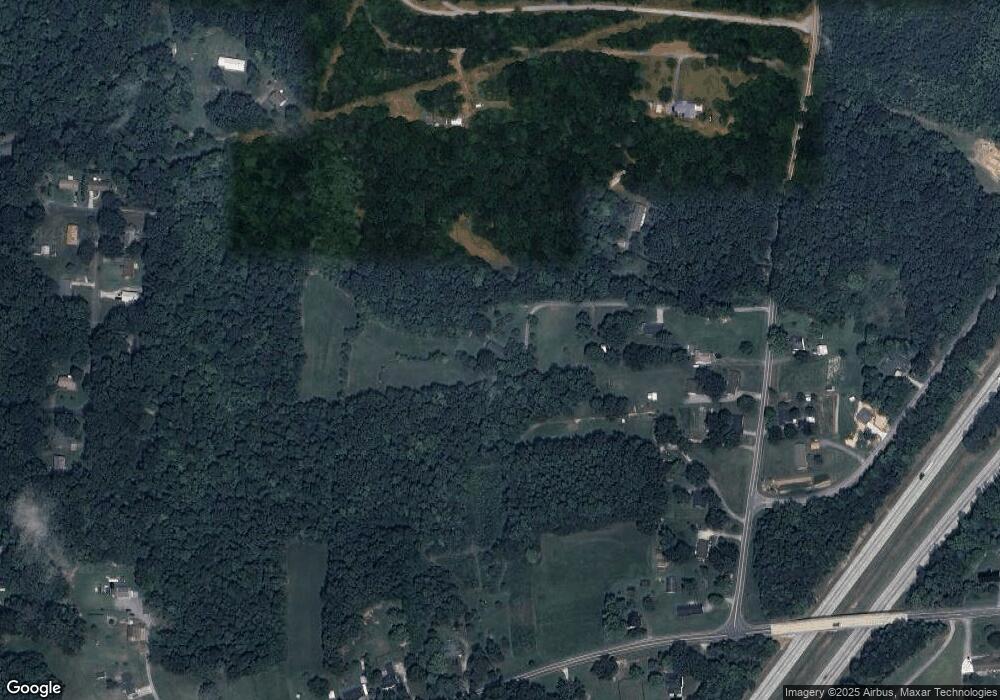
Map
Nearby Homes
- 2164 E Holly Grove Rd
- 175 Mcpherson Ln
- 257 N County Home Rd
- 0 E Holly Grove Rd
- 0 Bowers Rd
- 2257 Smith Farm Rd
- 189 1st Cir
- 271 Lilys Place
- 189 Panther Ln
- 189 Panther Ln Unit 94-97
- 452 S Old Greensboro Rd
- 185 Olivia Dr
- 19 Colonial Dr
- 5033 E Old Us Highway 64
- 14 Arbor Dr
- 179 Stephens Ln
- 7 Dora Ln
- 301 Queens Dr
- 0 Queens Dr
- 206 Abbotts Ave
- 171 Breezewood Ln
- 1694 Roy Lopp Rd
- 1748 Roy Lopp Rd
- 1762 Roy Lopp Rd
- 1790 Roy Lopp Rd
- 1790 Roy Lopp Rd
- 1830 Roy Lopp Rd
- 119 Popeye Ln
- 1868 Roy Lopp Rd
- 2773 E Holly Grove Rd
- 2901 E Holly Grove Rd
- 161 Mulberry Ct
- 2941 E Holly Grove Rd
- 206 Brentwood Dr
- 184 Brentwood Dr
- 2727 E Holly Grove Rd
- 228 Brentwood Dr
- 1741 Roy Lopp Rd
- 118 Brentwood Dr
- 246 Brentwood Dr