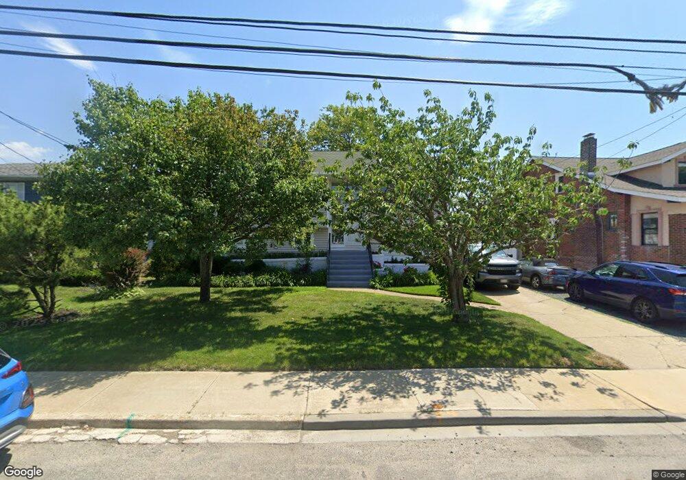
195 Westside Ave Freeport, NY 11520
Estimated Value: $767,000 - $779,367
5
Beds
2
Baths
1,281
Sq Ft
$604/Sq Ft
Est. Value
About This Home
This home is located at 195 Westside Ave, Freeport, NY 11520 and is currently estimated at $773,184, approximately $603 per square foot. 195 Westside Ave is a home located in Nassau County with nearby schools including Columbus Avenue School, Caroline G. Atkinson Intermediate School, and John W Dodd Middle School.
Ownership History
Date
Name
Owned For
Owner Type
Purchase Details
Closed on
Oct 7, 2020
Sold by
Price Ean
Bought by
Rocco Christopher
Current Estimated Value
Home Financials for this Owner
Home Financials are based on the most recent Mortgage that was taken out on this home.
Original Mortgage
$450,000
Outstanding Balance
$400,251
Interest Rate
2.9%
Mortgage Type
New Conventional
Estimated Equity
$372,933
Purchase Details
Closed on
Apr 29, 2008
Sold by
Price Jack
Bought by
Jack Price
Purchase Details
Closed on
Jun 21, 1996
Sold by
Williams George
Bought by
Price Jack and Pokorny David
Home Financials for this Owner
Home Financials are based on the most recent Mortgage that was taken out on this home.
Original Mortgage
$204,000
Interest Rate
8.05%
Create a Home Valuation Report for This Property
The Home Valuation Report is an in-depth analysis detailing your home's value as well as a comparison with similar homes in the area
Home Values in the Area
Average Home Value in this Area
Purchase History
| Date | Buyer | Sale Price | Title Company |
|---|---|---|---|
| Rocco Christopher | $600,000 | Fidelity National Title | |
| Jack Price | -- | -- | |
| Price Jack | $255,000 | -- |
Source: Public Records
Mortgage History
| Date | Status | Borrower | Loan Amount |
|---|---|---|---|
| Open | Rocco Christopher | $450,000 | |
| Previous Owner | Price Jack | $204,000 |
Source: Public Records
Tax History Compared to Growth
Tax History
| Year | Tax Paid | Tax Assessment Tax Assessment Total Assessment is a certain percentage of the fair market value that is determined by local assessors to be the total taxable value of land and additions on the property. | Land | Improvement |
|---|---|---|---|---|
| 2025 | $10,501 | $491 | $215 | $276 |
| 2024 | $1,094 | $508 | $222 | $286 |
| 2023 | $10,985 | $527 | $233 | $294 |
| 2022 | $10,985 | $527 | $233 | $294 |
| 2021 | $15,848 | $505 | $223 | $282 |
| 2020 | $10,563 | $648 | $647 | $1 |
| 2019 | $1,075 | $648 | $647 | $1 |
| 2018 | $4,667 | $648 | $0 | $0 |
| 2017 | $8,280 | $688 | $687 | $1 |
| 2016 | $9,312 | $728 | $727 | $1 |
| 2015 | $1,111 | $769 | $601 | $168 |
| 2014 | $1,111 | $769 | $601 | $168 |
| 2013 | $1,067 | $782 | $612 | $170 |
Source: Public Records
Map
Nearby Homes
- 226 Westside Ave Unit B
- 171 Westside Ave
- 159 Branch Ave
- 587 S Bayview Ave
- 31 Casino St Unit PH
- 292 Westside Ave
- 479 Roosevelt Ave
- 232 Nassau Ave
- 209 Nassau Ave
- 374 Miller Ave
- 65 Adams St
- 322 Miller Ave
- 173 Cedar St
- 470 Miller Ave
- 310 Miller Ave
- 570 S Ocean Ave
- 536 S Ocean Ave
- 214 Westend Ave Unit 6c
- 210 Westend Ave Unit 8B
- 494 S Ocean Ave Unit 1H
- 189 Westside Ave
- 199 Westside Ave
- 187 Westside Ave
- 185 Westside Ave
- 205 Westside Ave
- 170 Westside Ave
- 194 Westside Ave
- 181 Westside Ave
- 190 Westside Ave
- 206 Westside Ave
- 211 Westside Ave
- 177 Westside Ave
- 186 Westside Ave
- 210 Westside Ave
- 175 Westside Ave
- 197 Saint Marks Ave
- 195 Saint Marks Ave
- 191 Saint Marks Ave
- 162 Westside Ave
- 214 Westside Ave