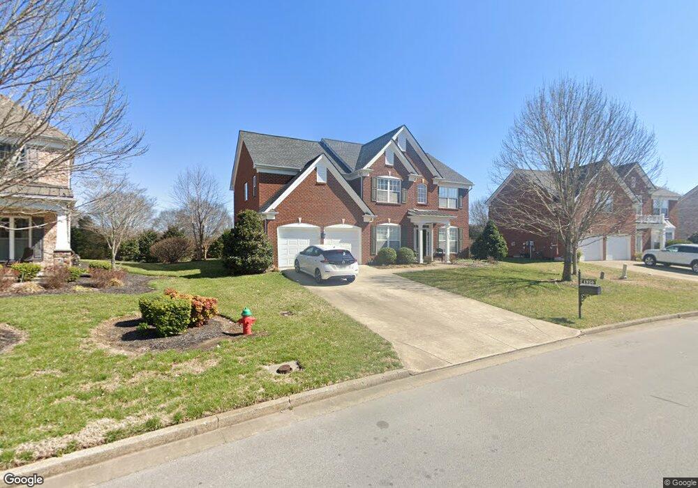
1950 Ashburn Ct Nolensville, TN 37135
Estimated Value: $717,000 - $765,000
--
Bed
4
Baths
2,644
Sq Ft
$280/Sq Ft
Est. Value
About This Home
This home is located at 1950 Ashburn Ct, Nolensville, TN 37135 and is currently estimated at $739,109, approximately $279 per square foot. 1950 Ashburn Ct is a home located in Williamson County with nearby schools including Sunset Elementary School, Sunset Middle School, and Nolensville High School.
Ownership History
Date
Name
Owned For
Owner Type
Purchase Details
Closed on
Dec 28, 2006
Sold by
Pulte Homes Tennessee Lp
Bought by
Sandberg Tod M and Sandberg Amber L
Current Estimated Value
Home Financials for this Owner
Home Financials are based on the most recent Mortgage that was taken out on this home.
Original Mortgage
$245,558
Outstanding Balance
$145,098
Interest Rate
6.1%
Mortgage Type
Purchase Money Mortgage
Estimated Equity
$594,011
Create a Home Valuation Report for This Property
The Home Valuation Report is an in-depth analysis detailing your home's value as well as a comparison with similar homes in the area
Home Values in the Area
Average Home Value in this Area
Purchase History
| Date | Buyer | Sale Price | Title Company |
|---|---|---|---|
| Sandberg Tod M | $306,948 | None Available |
Source: Public Records
Mortgage History
| Date | Status | Borrower | Loan Amount |
|---|---|---|---|
| Open | Sandberg Tod M | $245,558 |
Source: Public Records
Tax History Compared to Growth
Tax History
| Year | Tax Paid | Tax Assessment Tax Assessment Total Assessment is a certain percentage of the fair market value that is determined by local assessors to be the total taxable value of land and additions on the property. | Land | Improvement |
|---|---|---|---|---|
| 2025 | $2,459 | $184,575 | $50,000 | $134,575 |
| 2024 | $2,459 | $113,300 | $22,500 | $90,800 |
| 2023 | $2,459 | $113,300 | $22,500 | $90,800 |
| 2022 | $2,459 | $113,300 | $22,500 | $90,800 |
| 2021 | $2,459 | $113,300 | $22,500 | $90,800 |
| 2020 | $2,332 | $92,925 | $18,750 | $74,175 |
| 2019 | $2,202 | $92,925 | $18,750 | $74,175 |
| 2018 | $2,137 | $92,925 | $18,750 | $74,175 |
| 2017 | $2,118 | $92,925 | $18,750 | $74,175 |
| 2016 | $2,090 | $92,925 | $18,750 | $74,175 |
| 2015 | -- | $69,050 | $16,250 | $52,800 |
| 2014 | -- | $69,050 | $16,250 | $52,800 |
Source: Public Records
Map
Nearby Homes
- 1969 Ashburn Ct
- 2032 Universe Ct
- 2029 Universe Ct
- 2510 Benington Place
- 2203 Carouth Ct
- 2025 Delaware Dr
- 2029 Delaware Dr
- 1818 Eaves Ct
- 1549 Eden Rose Place
- 105 Corbin Ct
- 2713 Bering Ct
- 2020 Vail Trace
- 9905 Elland Rd
- Devonshire II Plan at Telluride - Manor
- Westchester II Plan at Telluride - Manor
- Southhampton Plan at Telluride - Manor
- St. Andrews III Plan at Telluride - Manor
- Nottingham Plan at Telluride - Manor
- Glen Abbey III Plan at Telluride - Manor
- 2004 Vail Trace
- 1954 Ashburn Ct
- 1958 Ashburn Ct
- 1942 Ashburn Ct
- 1947 Ashburn Ct
- 1953 Ashburn Ct
- 1943 Ashburn Ct
- 1962 Ashburn Ct
- 1938 Ashburn Ct
- 1961 Ashburn Ct
- 1741 Bastante Ct
- 1939 Ashburn Ct
- 2048 Universe Ct
- 2044 Universe Ct
- 1737 Bastante Ct
- 1934 Ashburn Ct
- 1733 Bastante Ct
- 1745 Bastante Ct
- 2040 Universe Ct
- 1965 Ashburn Ct