1950 W 29th St South Sioux City, NE 68776
--
Bed
--
Bath
20,000
Sq Ft
108
Acres
About This Home
This home is located at 1950 W 29th St, South Sioux City, NE 68776. 1950 W 29th St is a home located in Dakota County with nearby schools including Covington Elementary School, South Sioux City Middle School, and South Sioux Senior High School.
Ownership History
Date
Name
Owned For
Owner Type
Purchase Details
Closed on
Sep 18, 2023
Sold by
Lite-Form International Lc
Bought by
Gwd Ltd
Purchase Details
Closed on
May 14, 2019
Sold by
Dc Realty Llc
Bought by
Skivoe Llc
Home Financials for this Owner
Home Financials are based on the most recent Mortgage that was taken out on this home.
Original Mortgage
$90,591
Interest Rate
4%
Mortgage Type
Future Advance Clause Open End Mortgage
Purchase Details
Closed on
Feb 9, 2000
Sold by
Community Dec Agency Of South Sioux City
Bought by
Lite-Form International Lc
Create a Home Valuation Report for This Property
The Home Valuation Report is an in-depth analysis detailing your home's value as well as a comparison with similar homes in the area
Home Values in the Area
Average Home Value in this Area
Purchase History
| Date | Buyer | Sale Price | Title Company |
|---|---|---|---|
| Gwd Ltd | $350,000 | None Listed On Document | |
| Skivoe Llc | $90,000 | None Available | |
| Lite-Form International Lc | $71,400 | -- |
Source: Public Records
Mortgage History
| Date | Status | Borrower | Loan Amount |
|---|---|---|---|
| Previous Owner | Skivoe Llc | $90,591 |
Source: Public Records
Tax History Compared to Growth
Tax History
| Year | Tax Paid | Tax Assessment Tax Assessment Total Assessment is a certain percentage of the fair market value that is determined by local assessors to be the total taxable value of land and additions on the property. | Land | Improvement |
|---|---|---|---|---|
| 2024 | $30,066 | $2,324,450 | $252,705 | $2,071,745 |
| 2023 | $44,381 | $2,499,375 | $480,480 | $2,018,895 |
| 2022 | $24,681 | $2,509,065 | $490,170 | $2,018,895 |
| 2021 | $24,152 | $1,842,015 | $490,170 | $1,351,845 |
| 2020 | $24,362 | $1,842,015 | $490,170 | $1,351,845 |
| 2019 | $24,431 | $1,842,015 | $490,170 | $1,351,845 |
| 2018 | $24,634 | $1,842,015 | $490,170 | $1,351,845 |
| 2017 | $24,578 | $1,218,535 | $78,750 | $1,139,785 |
| 2016 | $24,162 | $1,218,535 | $78,750 | $1,139,785 |
| 2014 | $25,089 | $1,218,535 | $78,750 | $1,139,785 |
Source: Public Records
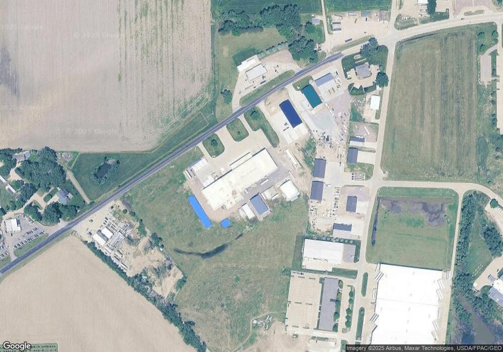
Map
Nearby Homes
- 114 Oakmont Dr
- 509 142nd St
- 2434 U S 77
- 424 S Ridge Dr
- 3312 Cedar Mill Way
- 3200 Cider Mill Way
- 389 Willow Gardens
- 423 Golf Rd
- 214 W 31st St
- 125 E 30th St
- 120 Rottunda Way
- 300 Kerri Ln
- 202 E 23rd St
- 405 W 17th St
- 101 Shore Place Ct
- 149 Rottunda Way
- 1401 & 1402 5th Ave
- 324 Regency Ct
- 314 E 17th St
- 605 Stagecoach Rd
- 1802 W 29th St
- 3131 Daniels Ln
- 3301 Daniels Ln
- 1602 W 29th St
- 3311 Daniels Ln
- 455 142nd St
- 481 142nd St
- 3161 Daniels Ln
- 469 142nd St
- 3410 Futures Dr
- 100 Futures Dr
- 100 Futures Dr
- 406 & 408 N Daniels Ln
- 408 Daniels Ln
- 420 Daniels Ln
- 10 Crystal View Ct
- 8 Crystal View Ct
- 6 Crystal View Ct
- 4 Crystal View Ct
- 12 Crystal View Ct