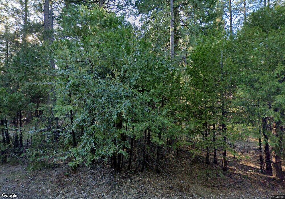
19531 Deerwood Dr Volcano, CA 95689
Estimated Value: $418,364 - $486,000
3
Beds
2
Baths
1,802
Sq Ft
$246/Sq Ft
Est. Value
About This Home
This home is located at 19531 Deerwood Dr, Volcano, CA 95689 and is currently estimated at $443,788, approximately $246 per square foot. 19531 Deerwood Dr is a home located in Amador County with nearby schools including Sutter Creek Elementary School, Ione Junior High School, and Amador High School.
Ownership History
Date
Name
Owned For
Owner Type
Purchase Details
Closed on
Jun 17, 2008
Sold by
Dimperio Daniel T
Bought by
Dimperio Daniel T
Current Estimated Value
Home Financials for this Owner
Home Financials are based on the most recent Mortgage that was taken out on this home.
Original Mortgage
$280,000
Interest Rate
5.62%
Mortgage Type
New Conventional
Purchase Details
Closed on
Jul 12, 2001
Sold by
Dimperio Karen A
Bought by
Dimperio Daniel T
Home Financials for this Owner
Home Financials are based on the most recent Mortgage that was taken out on this home.
Original Mortgage
$110,000
Interest Rate
7.09%
Create a Home Valuation Report for This Property
The Home Valuation Report is an in-depth analysis detailing your home's value as well as a comparison with similar homes in the area
Home Values in the Area
Average Home Value in this Area
Purchase History
| Date | Buyer | Sale Price | Title Company |
|---|---|---|---|
| Dimperio Daniel T | -- | Chicago Title Company | |
| Dimperio Daniel T | -- | Amador Title Co |
Source: Public Records
Mortgage History
| Date | Status | Borrower | Loan Amount |
|---|---|---|---|
| Closed | Dimperio Daniel T | $280,000 | |
| Closed | Dimperio Daniel T | $110,000 |
Source: Public Records
Tax History Compared to Growth
Tax History
| Year | Tax Paid | Tax Assessment Tax Assessment Total Assessment is a certain percentage of the fair market value that is determined by local assessors to be the total taxable value of land and additions on the property. | Land | Improvement |
|---|---|---|---|---|
| 2025 | $2,901 | $292,490 | $89,207 | $203,283 |
| 2024 | $2,901 | $286,756 | $87,458 | $199,298 |
| 2023 | $2,844 | $281,135 | $85,744 | $195,391 |
| 2022 | $2,791 | $275,623 | $84,063 | $191,560 |
| 2021 | $2,738 | $270,219 | $82,415 | $187,804 |
| 2020 | $2,711 | $267,449 | $81,570 | $185,879 |
| 2019 | $2,658 | $262,206 | $79,971 | $182,235 |
| 2018 | $2,607 | $257,065 | $78,403 | $178,662 |
| 2017 | $2,557 | $252,025 | $76,866 | $175,159 |
| 2016 | $2,507 | $247,084 | $75,359 | $171,725 |
| 2015 | $2,472 | $243,374 | $74,228 | $169,146 |
| 2014 | $2,422 | $238,607 | $72,774 | $165,833 |
Source: Public Records
Map
Nearby Homes
- 19375 Cherokee Ln
- 19740 Ponderosa Dr
- 24835 Shake Ridge Rd
- 25062 Overland Dr
- 24985 Shake Ridge Rd
- 23761 Shake Ridge Rd
- 25251 Canterbury Rd
- 19015 Pine Dr E
- 0 Canterbury Unit 224006093
- 19035 Pine Dr E
- 25630 Overland Dr
- 19396 Ponderosa Dr
- 24201 Canterbury Rd
- 25759 Mule Deer Ct
- 19074 Pine Dr E
- 25624 Sherwood Dr
- 25804 Aspen Ct
- 0 Gold Creek Trail Unit 225068394
- 17770 Gold Creek Trail
- 20472 Pine Dr E
- 19541 Deerwood Dr
- 19501 Deerwood Dr
- 19538 Deerwood Dr
- 19500 Deerwood Dr
- 19889 Ponderosa Dr
- 19485 Deerwood Dr
- 19821 Ponderosa Dr
- 19810 Cal Am Rd
- 19484 Deerwood Dr
- 19901 Ponderosa Dr
- 19474 Deerwood Dr
- 19435 Deerwood Dr
- 19801 Ponderosa Dr
- 19414 Deerwood Dr
- 19464 Cherokee Ln
- 19530 Cherokee Ln
- 19850 Ponderosa Dr
- 19464 Deerwood Dr
- 19820 Ponderosa Dr
- 19500 Cherokee Ln
