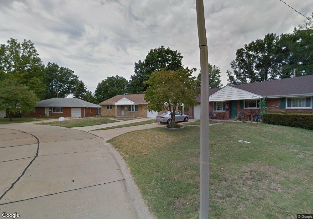
1955 Brassie Dr Saint Louis, MO 63114
Estimated Value: $173,346 - $208,000
2
Beds
1
Bath
1,147
Sq Ft
$164/Sq Ft
Est. Value
About This Home
This home is located at 1955 Brassie Dr, Saint Louis, MO 63114 and is currently estimated at $187,587, approximately $163 per square foot. 1955 Brassie Dr is a home located in St. Louis County with nearby schools including Wyland Elementary School, Ritenour Middle School, and Ritenour Senior High School.
Ownership History
Date
Name
Owned For
Owner Type
Purchase Details
Closed on
May 18, 2001
Sold by
Fabing Raymond L and Fabing Ann Ruth
Bought by
Johnson Paula P
Current Estimated Value
Home Financials for this Owner
Home Financials are based on the most recent Mortgage that was taken out on this home.
Original Mortgage
$72,000
Interest Rate
7.01%
Purchase Details
Closed on
Jan 26, 2001
Sold by
Fabing Raymond L and Fabing Anne Ruth
Bought by
Fabing Raymond L and Fabing Ruth Anne
Home Financials for this Owner
Home Financials are based on the most recent Mortgage that was taken out on this home.
Original Mortgage
$60,100
Interest Rate
7.13%
Purchase Details
Closed on
Dec 15, 1998
Sold by
Surber Edith C and Surber Edith D
Bought by
Fabing Raymond L
Home Financials for this Owner
Home Financials are based on the most recent Mortgage that was taken out on this home.
Original Mortgage
$58,000
Interest Rate
6.66%
Mortgage Type
Seller Take Back
Create a Home Valuation Report for This Property
The Home Valuation Report is an in-depth analysis detailing your home's value as well as a comparison with similar homes in the area
Home Values in the Area
Average Home Value in this Area
Purchase History
| Date | Buyer | Sale Price | Title Company |
|---|---|---|---|
| Johnson Paula P | $90,000 | -- | |
| Johnson Paula P | $90,000 | -- | |
| Fabing Raymond L | -- | -- | |
| Fabing Raymond L | $58,200 | U S Title Guaranty Company I |
Source: Public Records
Mortgage History
| Date | Status | Borrower | Loan Amount |
|---|---|---|---|
| Closed | Johnson Paula P | $72,000 | |
| Previous Owner | Fabing Raymond L | $60,100 | |
| Previous Owner | Fabing Raymond L | $58,000 |
Source: Public Records
Tax History Compared to Growth
Tax History
| Year | Tax Paid | Tax Assessment Tax Assessment Total Assessment is a certain percentage of the fair market value that is determined by local assessors to be the total taxable value of land and additions on the property. | Land | Improvement |
|---|---|---|---|---|
| 2025 | $2,188 | $30,040 | $6,330 | $23,710 |
| 2024 | $2,188 | $25,560 | $2,530 | $23,030 |
| 2023 | $2,140 | $25,560 | $2,530 | $23,030 |
| 2022 | $2,116 | $22,180 | $4,220 | $17,960 |
| 2021 | $2,116 | $22,180 | $4,220 | $17,960 |
| 2020 | $2,216 | $21,450 | $3,720 | $17,730 |
| 2019 | $2,194 | $21,450 | $3,720 | $17,730 |
| 2018 | $2,048 | $18,010 | $2,960 | $15,050 |
| 2017 | $1,953 | $18,010 | $2,960 | $15,050 |
| 2016 | $1,627 | $15,250 | $2,960 | $12,290 |
| 2015 | $1,664 | $15,250 | $2,960 | $12,290 |
| 2014 | $1,818 | $16,970 | $3,380 | $13,590 |
Source: Public Records
Map
Nearby Homes
- 1947 Brown Rd
- 1910 Leondale Ave
- 9417 Romaine Ave
- 9430 Ridge Ave
- 9446 Miriam Ave
- 9504 Echo Ln
- 2325 Goodale Ave
- 9515 Cote Brilliante Ave
- 2223 Burns Ave
- 29 W Sherwood Dr
- 2327 Gaebler Ave
- 9617 Cote Brilliante Ave
- 8450 Kempland Place
- 8259 Paramount Dr
- 2228 Spencer Ave
- 2326 Hood Ave
- 8364 Fullerton Ave
- 9705 Miriam Ave
- 1459 Sheridan Dr
- 1437 Coolidge Dr
- 9025 Brassie Dr
- 1951 Brassie Dr
- 1952 Brown Rd
- 9020 Westbrooke Ln
- 9021 Brassie Dr
- 1947 Brassie Dr
- 1958 Brown Rd
- 1948 Brown Rd
- 9018 Westbrooke Ln
- 1960 Brown Rd
- 1950 Brassie Dr
- 1944 Brown Rd
- 9017 Brassie Dr
- 1943 Brassie Dr
- 9026 Westbrooke Ln
- 9012 Westbrooke Ln
- 1946 Brassie Dr
- 9016 Brassie Dr
- 1940 Brown Rd
- 9013 Brassie Dr