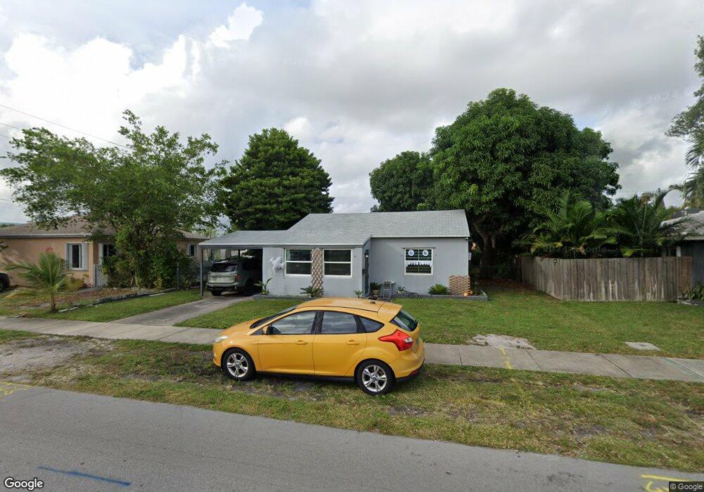
1959 Thomas St Hollywood, FL 33020
Royal Poinciana NeighborhoodEstimated Value: $455,480 - $636,000
2
Beds
1
Bath
1,483
Sq Ft
$371/Sq Ft
Est. Value
About This Home
This home is located at 1959 Thomas St, Hollywood, FL 33020 and is currently estimated at $550,620, approximately $371 per square foot. 1959 Thomas St is a home with nearby schools including Dania Elementary School, Olsen Middle School, and South Broward High School.
Ownership History
Date
Name
Owned For
Owner Type
Purchase Details
Closed on
Feb 24, 2025
Sold by
Armbruster Denise and Armbruster Paul
Bought by
Denise Armbruster Revocable Trust and Armbruster
Current Estimated Value
Purchase Details
Closed on
Nov 2, 1995
Sold by
Armbruster Denise and Meaceau Raymond P And Therese F
Bought by
Armbruster Denise and Armbruster Paul
Home Financials for this Owner
Home Financials are based on the most recent Mortgage that was taken out on this home.
Original Mortgage
$39,000
Interest Rate
7.51%
Mortgage Type
Commercial
Create a Home Valuation Report for This Property
The Home Valuation Report is an in-depth analysis detailing your home's value as well as a comparison with similar homes in the area
Home Values in the Area
Average Home Value in this Area
Purchase History
| Date | Buyer | Sale Price | Title Company |
|---|---|---|---|
| Denise Armbruster Revocable Trust | -- | None Listed On Document | |
| Armbruster Denise | $100 | -- |
Source: Public Records
Mortgage History
| Date | Status | Borrower | Loan Amount |
|---|---|---|---|
| Previous Owner | Armbruster Denise | $39,000 |
Source: Public Records
Tax History Compared to Growth
Tax History
| Year | Tax Paid | Tax Assessment Tax Assessment Total Assessment is a certain percentage of the fair market value that is determined by local assessors to be the total taxable value of land and additions on the property. | Land | Improvement |
|---|---|---|---|---|
| 2025 | $8,430 | $231,270 | -- | -- |
| 2024 | $7,569 | $231,270 | -- | -- |
| 2023 | $7,569 | $191,140 | $0 | $0 |
| 2022 | $6,651 | $173,770 | $0 | $0 |
| 2021 | $6,089 | $157,980 | $0 | $0 |
| 2020 | $5,745 | $262,230 | $48,240 | $213,990 |
| 2019 | $4,142 | $248,830 | $48,240 | $200,590 |
| 2018 | $3,803 | $239,350 | $48,240 | $191,110 |
| 2017 | $3,321 | $107,910 | $0 | $0 |
| 2016 | $2,964 | $98,100 | $0 | $0 |
| 2015 | $2,834 | $89,190 | $0 | $0 |
| 2014 | $2,366 | $81,090 | $0 | $0 |
| 2013 | -- | $87,530 | $16,080 | $71,450 |
Source: Public Records
Map
Nearby Homes
- 1955 Thomas St
- 1954 Thomas St
- 1924 Sheridan St
- 1518 SW 2nd Ave
- 1818 Sherman St
- 1401 SW 3rd Ave
- 1917 Harding St
- 1341 SE 3rd Ave Unit 206
- 1341 SE 3rd Ave Unit 210
- 1913 Harding St
- N 22nd AVE N 22nd Ave
- 1820 Coolidge St
- 309 SW 13th St
- 1812 Coolidge St
- 2001 N 22nd Ave
- 1409 S Federal Hwy
- 2205 Coolidge St
- 2239 Sheridan St
- 235-237 SW 12th St
- 2223 Hope St
- 1947 Thomas St
- 2215 N 20th Ave Unit 2
- 2215 N 20th Ave Unit 1
- 2215 N 20th Ave Unit 1-2
- 2215 N 20th Ave
- 1943 Thomas St
- 1950 Sherman St
- 1948 Thomas St
- 2300 N 20th Ave
- 1960 Sherman St
- 1942 Thomas St Unit 1-3
- 1942 Thomas St
- 1942 Thomas St Unit 1
- 1942 Thomas St Unit C
- 1942 Thomas St Unit b
- 2303 N 20th Ave
- 1937 Thomas St Unit 1
- 1937 Thomas St
- 1940 Sherman St