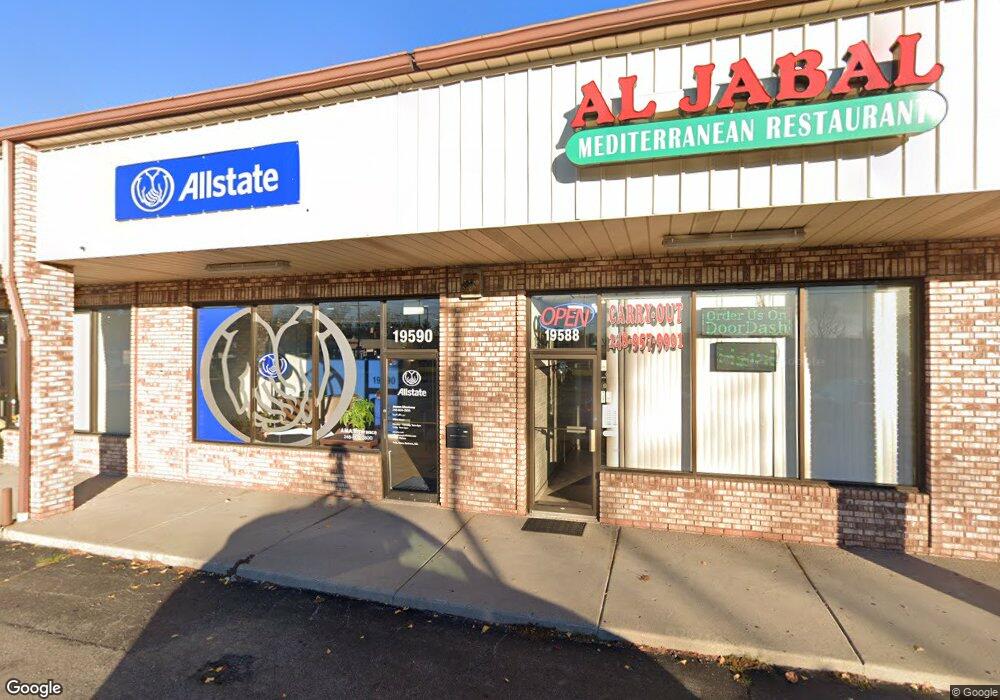
19590 Middlebelt Rd Livonia, MI 48152
Estimated Value: $2,546,976
--
Bed
--
Bath
1,264
Sq Ft
$2,015/Sq Ft
Est. Value
About This Home
This home is located at 19590 Middlebelt Rd, Livonia, MI 48152 and is currently estimated at $2,546,976, approximately $2,015 per square foot. 19590 Middlebelt Rd is a home located in Wayne County with nearby schools including Clarenceville High School, Grand River Academy, and Concordia Lutheran School.
Ownership History
Date
Name
Owned For
Owner Type
Purchase Details
Closed on
Mar 9, 2011
Sold by
Community Central Bank
Bought by
Martin Plaza Group Llc
Current Estimated Value
Purchase Details
Closed on
Nov 2, 2010
Sold by
Mattia Brothers Llc
Bought by
Community Central Bank
Purchase Details
Closed on
Jun 16, 2006
Sold by
Neff Associates Llc
Bought by
Mattia Brothers Llc
Purchase Details
Closed on
Aug 27, 2001
Sold by
Livonia Martin Plaza Llc
Bought by
Neff Assoc Llc
Create a Home Valuation Report for This Property
The Home Valuation Report is an in-depth analysis detailing your home's value as well as a comparison with similar homes in the area
Home Values in the Area
Average Home Value in this Area
Purchase History
| Date | Buyer | Sale Price | Title Company |
|---|---|---|---|
| Martin Plaza Group Llc | $775,000 | Multiple | |
| Community Central Bank | -- | Seaver Title | |
| Mattia Brothers Llc | $1,900,000 | None Available | |
| Neff Assoc Llc | $1,650,000 | -- |
Source: Public Records
Tax History Compared to Growth
Tax History
| Year | Tax Paid | Tax Assessment Tax Assessment Total Assessment is a certain percentage of the fair market value that is determined by local assessors to be the total taxable value of land and additions on the property. | Land | Improvement |
|---|---|---|---|---|
| 2025 | $19,864 | $643,000 | $0 | $0 |
| 2024 | $19,864 | $595,600 | $0 | $0 |
| 2023 | $18,868 | $576,300 | $0 | $0 |
| 2022 | $25,220 | $534,400 | $0 | $0 |
| 2021 | $24,506 | $517,400 | $0 | $0 |
| 2019 | $23,824 | $513,500 | $0 | $0 |
| 2018 | $16,394 | $456,100 | $0 | $0 |
| 2017 | $13,602 | $457,000 | $0 | $0 |
| 2016 | $22,718 | $455,400 | $0 | $0 |
| 2015 | $40,517 | $430,490 | $0 | $0 |
| 2012 | -- | $414,640 | $147,710 | $266,930 |
Source: Public Records
Map
Nearby Homes
- 29675 Nottingham Cir Unit 20
- 29560 Clarita St Unit 11
- 19921 Melvin St
- 20280 Melvin St
- 20352 Beatrice St
- 30285 7 Mile Rd
- 29721 Pickford St
- 18884 Lathers St
- 18496 Brentwood St
- 19499 Saint Francis St
- 18872 Hillcrest St
- 20229 Floral St
- 20159 Deering St
- 19661 Antago St
- 20555 Angling St
- 20577 Angling St
- 27725 Norfolk St
- 28418 W 8 Mile Rd Unit C1
- 28418 W 8 Mile Rd Unit A1
- 29135 Scotten St
- 29255 Saint Martins St
- 19610 Middlebelt Rd
- 29151 Saint Martins St
- 19582 Middlebelt Rd
- 19598 Middlebelt Rd
- 29154 Saint Martins St
- 29137 Saint Martins St
- 19704 Middlebelt Rd
- 29138 Saint Martins St
- 29123 Saint Martins St
- 19410 Middlebelt Rd
- 19708 Middlebelt Rd Unit Bldg-Unit
- 19708 Middlebelt Rd
- 29105 Saint Martins St
- 29120 Saint Martins St
- 29200 Vassar St
- 29189 Vassar St
- 29101 Saint Martins St
- 29104 Saint Martins St
- 19461 Parkville St