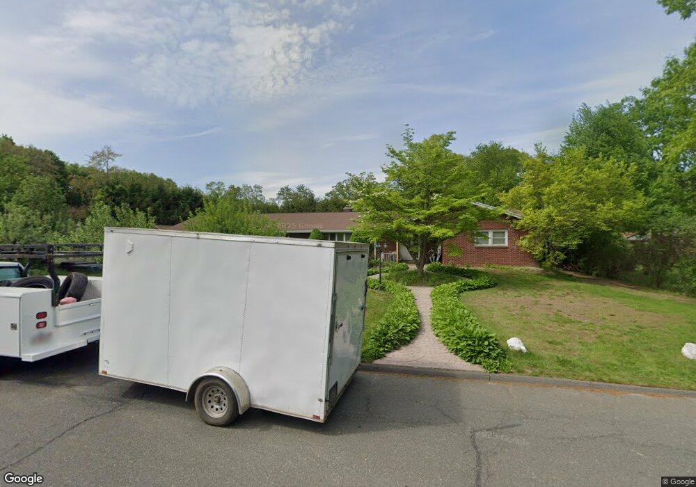
196 Butternut Hollow Rd West Springfield, MA 01089
Estimated Value: $503,000 - $593,000
3
Beds
4
Baths
2,596
Sq Ft
$207/Sq Ft
Est. Value
About This Home
This home is located at 196 Butternut Hollow Rd, West Springfield, MA 01089 and is currently estimated at $537,639, approximately $207 per square foot. 196 Butternut Hollow Rd is a home located in Hampden County with nearby schools including St Thomas The Apostle School.
Ownership History
Date
Name
Owned For
Owner Type
Purchase Details
Closed on
Apr 27, 2005
Sold by
Sacharczyk Deborah A and Sacharczyk Michal L
Bought by
Sacharczyk Michal L
Current Estimated Value
Purchase Details
Closed on
Aug 10, 2001
Sold by
Cassidy Mark C and Cassidy Eileen C
Bought by
Sacharczyk Michal L and Sacharczyk Deborah A
Purchase Details
Closed on
Jan 15, 1998
Sold by
Fanous Nabil I and Fanous Alice E
Bought by
Cassidy Mark C and Cassidy Eileen C
Home Financials for this Owner
Home Financials are based on the most recent Mortgage that was taken out on this home.
Original Mortgage
$193,800
Interest Rate
7.08%
Mortgage Type
Purchase Money Mortgage
Create a Home Valuation Report for This Property
The Home Valuation Report is an in-depth analysis detailing your home's value as well as a comparison with similar homes in the area
Home Values in the Area
Average Home Value in this Area
Purchase History
| Date | Buyer | Sale Price | Title Company |
|---|---|---|---|
| Sacharczyk Michal L | -- | -- | |
| Sacharczyk Michal L | $210,000 | -- | |
| Cassidy Mark C | $190,000 | -- | |
| Sacharczyk Michal L | -- | -- | |
| Sacharczyk Michal L | $210,000 | -- | |
| Cassidy Mark C | $190,000 | -- |
Source: Public Records
Mortgage History
| Date | Status | Borrower | Loan Amount |
|---|---|---|---|
| Previous Owner | Cassidy Mark C | $173,000 | |
| Previous Owner | Cassidy Mark C | $193,800 |
Source: Public Records
Tax History Compared to Growth
Tax History
| Year | Tax Paid | Tax Assessment Tax Assessment Total Assessment is a certain percentage of the fair market value that is determined by local assessors to be the total taxable value of land and additions on the property. | Land | Improvement |
|---|---|---|---|---|
| 2025 | $6,747 | $453,700 | $136,300 | $317,400 |
| 2024 | $6,647 | $448,800 | $136,300 | $312,500 |
| 2023 | $6,249 | $402,100 | $143,200 | $258,900 |
| 2022 | $5,647 | $358,300 | $130,100 | $228,200 |
| 2021 | $5,758 | $340,700 | $122,800 | $217,900 |
| 2020 | $5,777 | $340,000 | $122,800 | $217,200 |
| 2019 | $5,766 | $340,000 | $122,800 | $217,200 |
| 2018 | $5,797 | $340,000 | $122,800 | $217,200 |
| 2017 | $5,797 | $340,000 | $122,800 | $217,200 |
| 2016 | $5,564 | $327,500 | $118,300 | $209,200 |
| 2015 | $5,454 | $321,000 | $115,800 | $205,200 |
| 2014 | $1,326 | $321,000 | $115,800 | $205,200 |
Source: Public Records
Map
Nearby Homes
- 260 Wolcott Ave
- 32 Lotus Ave
- 139 Upper Beverly Hills
- 180 Wolcott Ave
- 514 Dewey St
- 31 Stone Path Ln
- 283 Forest Glen
- 16 North St
- 148 Craiwell Ave
- 65 Verdugo St
- 34 High Meadow Dr
- 43 Houston Rd
- 258 Poplar Ave
- 142 Morton St
- 61 Clarence St
- 19 Cora St
- 42 Janet St
- 416 Hillcrest Ave
- 17 Laurence Dr
- 74 Maple Terrace
- 22 Havenhurst Rd
- 182 Butternut Hollow Rd
- 363 Ohio Ave
- 5 Havenhurst Rd
- 195 Butternut Hollow Rd
- 205 Butternut Hollow Rd
- 21 Havenhurst Rd
- 38 Havenhurst Rd
- 333 Ohio Ave
- 375 Ohio Ave
- 219 Butternut Hollow Rd
- 33 Havenhurst Rd
- 153 Bretton Rd
- 317 Ohio Ave
- 137 Bretton Rd
- 160 Butternut Hollow Rd
- 46 Havenhurst Rd
- 370 Ohio Ave
- 161 Butternut Hollow Rd
- 225 Butternut Hollow Rd