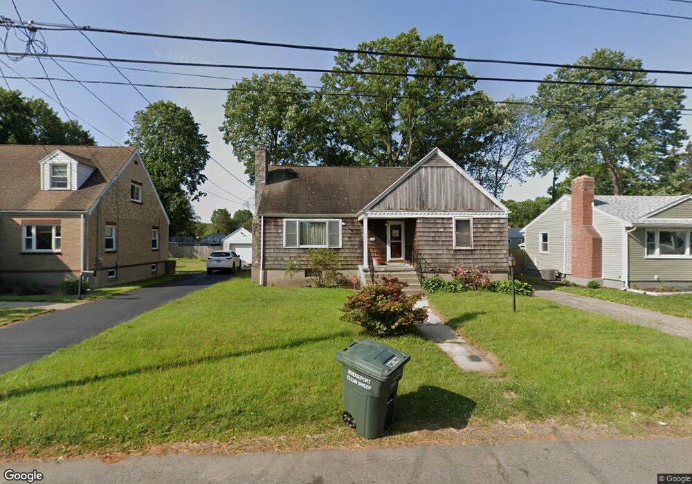
196 Kensington Place Bridgeport, CT 06610
North Bridgeport NeighborhoodEstimated Value: $427,447 - $480,000
3
Beds
2
Baths
2,149
Sq Ft
$210/Sq Ft
Est. Value
About This Home
This home is located at 196 Kensington Place, Bridgeport, CT 06610 and is currently estimated at $450,862, approximately $209 per square foot. 196 Kensington Place is a home located in Fairfield County with nearby schools including Hooker School, Harding High School, and Christian Heritage School.
Ownership History
Date
Name
Owned For
Owner Type
Purchase Details
Closed on
Jul 31, 1987
Sold by
Lucy Joseph
Bought by
Mellow Gail
Current Estimated Value
Home Financials for this Owner
Home Financials are based on the most recent Mortgage that was taken out on this home.
Original Mortgage
$67,000
Interest Rate
10.43%
Mortgage Type
Purchase Money Mortgage
Create a Home Valuation Report for This Property
The Home Valuation Report is an in-depth analysis detailing your home's value as well as a comparison with similar homes in the area
Home Values in the Area
Average Home Value in this Area
Purchase History
| Date | Buyer | Sale Price | Title Company |
|---|---|---|---|
| Mellow Gail | $173,900 | -- |
Source: Public Records
Mortgage History
| Date | Status | Borrower | Loan Amount |
|---|---|---|---|
| Closed | Mellow Gail | $70,000 | |
| Closed | Mellow Gail | $67,000 |
Source: Public Records
Tax History Compared to Growth
Tax History
| Year | Tax Paid | Tax Assessment Tax Assessment Total Assessment is a certain percentage of the fair market value that is determined by local assessors to be the total taxable value of land and additions on the property. | Land | Improvement |
|---|---|---|---|---|
| 2025 | $7,476 | $172,060 | $65,520 | $106,540 |
| 2024 | $7,476 | $172,060 | $65,520 | $106,540 |
| 2023 | $7,476 | $172,060 | $65,520 | $106,540 |
| 2022 | $7,476 | $172,060 | $65,520 | $106,540 |
| 2021 | $7,476 | $172,060 | $65,520 | $106,540 |
| 2020 | $7,779 | $144,090 | $53,750 | $90,340 |
| 2019 | $7,779 | $144,090 | $53,750 | $90,340 |
| 2018 | $7,834 | $144,090 | $53,750 | $90,340 |
| 2017 | $7,834 | $144,090 | $53,750 | $90,340 |
| 2016 | $7,834 | $144,090 | $53,750 | $90,340 |
| 2015 | $7,102 | $168,300 | $52,520 | $115,780 |
| 2014 | $7,102 | $168,300 | $52,520 | $115,780 |
Source: Public Records
Map
Nearby Homes
- 53 Beverly Dr
- 50 Pilgrim Rd
- 123 Beverly Dr
- 374 Mapledale Place
- 69 Glen Cir
- 165 Nutmeg Rd
- 275 Roger Williams Rd
- 197 Dupont Place Unit 199
- 206 Huntington Turnpike
- 120 Huntington Turnpike Unit 202
- 120 Huntington Turnpike Unit 606
- 120 Huntington Turnpike Unit 801
- 132 Virginia Ave Unit 132
- 94 Virginia Ave Unit 94
- 217 Hillcrest Rd
- 250 Dayton Rd
- 33 Louisiana Ave Unit 35
- 11 Nob Hill Cir
- 16 Oakdale St
- 227 Sylvan St
- 206 Kensington Place
- 180 Kensington Place
- 220 Kensington Place
- 120 Tully Cir
- 108 Tully Cir
- 496 Jennings Ave
- 195 Kensington Place
- 230 Kensington Place
- 207 Kensington Place
- 181 Kensington Place
- 140 Tully Cir
- 217 Kensington Place
- 169 Kensington Place
- 98 Tully Cir
- 103 Tully Cir
- 157 Kensington Place
- 229 Kensington Place
- 1 Kensington Place
- 593 Huntington Turnpike