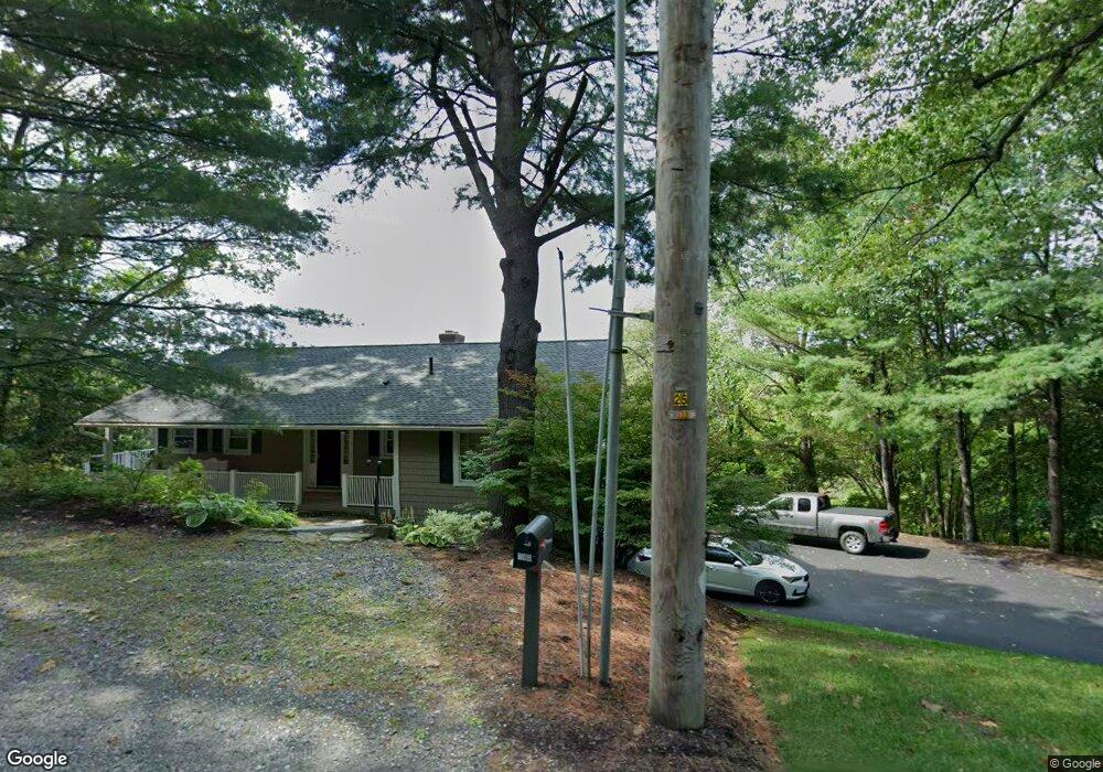
196 Lancaster Ave Lunenburg, MA 01462
Estimated Value: $512,745 - $623,000
3
Beds
2
Baths
1,485
Sq Ft
$372/Sq Ft
Est. Value
About This Home
This home is located at 196 Lancaster Ave, Lunenburg, MA 01462 and is currently estimated at $552,186, approximately $371 per square foot. 196 Lancaster Ave is a home located in Worcester County with nearby schools including Lunenburg Primary School, Lunenburg High School, and St. Bernard's High School.
Ownership History
Date
Name
Owned For
Owner Type
Purchase Details
Closed on
Jun 26, 1984
Bought by
Celuzza David A and Celuzza Donna M H
Current Estimated Value
Create a Home Valuation Report for This Property
The Home Valuation Report is an in-depth analysis detailing your home's value as well as a comparison with similar homes in the area
Home Values in the Area
Average Home Value in this Area
Purchase History
| Date | Buyer | Sale Price | Title Company |
|---|---|---|---|
| Celuzza David A | $90,000 | -- |
Source: Public Records
Mortgage History
| Date | Status | Borrower | Loan Amount |
|---|---|---|---|
| Open | Celuzza David A | $75,000 | |
| Closed | Celuzza David A | $85,000 | |
| Closed | Celuzza David A | $100,000 | |
| Closed | Celuzza David A | $73,000 |
Source: Public Records
Tax History Compared to Growth
Tax History
| Year | Tax Paid | Tax Assessment Tax Assessment Total Assessment is a certain percentage of the fair market value that is determined by local assessors to be the total taxable value of land and additions on the property. | Land | Improvement |
|---|---|---|---|---|
| 2025 | $7,184 | $500,300 | $171,300 | $329,000 |
| 2024 | $6,757 | $479,200 | $162,500 | $316,700 |
| 2023 | $6,459 | $441,800 | $147,600 | $294,200 |
| 2022 | $6,113 | $355,600 | $125,200 | $230,400 |
| 2020 | $6,052 | $334,000 | $125,100 | $208,900 |
| 2019 | $5,838 | $312,500 | $118,700 | $193,800 |
| 2018 | $5,382 | $273,200 | $117,700 | $155,500 |
| 2017 | $5,243 | $262,400 | $112,100 | $150,300 |
| 2016 | $5,040 | $257,000 | $107,300 | $149,700 |
| 2015 | $4,571 | $249,500 | $102,500 | $147,000 |
Source: Public Records
Map
Nearby Homes
- 9 Fairview Rd
- 35 Leominster Rd
- 29 West St
- 31 School St
- 6 Riley Rd Unit 6
- 330 Arbor St
- 711 Massachusetts Ave Unit 2
- 63 Holman St
- 200-365 Hollis Rd
- 319 Highland St
- 452 Hollis Rd
- 44 Hemlock Dr
- 110 Burrage St
- 185 Hemlock Dr
- 70 Kilburn St
- 828 Lancaster Ave
- 77 Upland Ave
- 130 Gilchrest St
- 1479 Main St
- 3 Chase Ave
- 225 Lancaster Ave
- 400 & 318 Howard St
- 220 Lancaster Ave
- 160 Lancaster Ave
- 229 Lancaster Ave
- 162 Lancaster Ave
- 0 Confidential Unit 71569455
- 0 Confidential Unit 72097832
- 0 Confidential Unit 73076645
- Lot 3 Butterfly Ln
- 0 Confidential Unit 73061433
- 154 Lancaster Ave
- 00 1234
- 171 Lancaster Ave
- 149 Lancaster Ave
- 240 Lancaster Ave
- 146 Lancaster Ave
- 136 Lancaster Ave
- 136 Lancaster Ave Unit 2
- 136 Lancaster Ave Unit 1