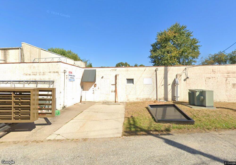
1960 Harris Dr Woodbury, NJ 08096
Deptford Township NeighborhoodEstimated Value: $458,775
--
Bed
--
Bath
5,890
Sq Ft
$78/Sq Ft
Est. Value
About This Home
This home is located at 1960 Harris Dr, Woodbury, NJ 08096 and is currently estimated at $458,775, approximately $77 per square foot. 1960 Harris Dr is a home located in Gloucester County with nearby schools including Deptford Township High School and St. Teresa Regional School.
Ownership History
Date
Name
Owned For
Owner Type
Purchase Details
Closed on
May 19, 2022
Sold by
Kb Rental Llc
Bought by
Harris Shop Llc
Current Estimated Value
Home Financials for this Owner
Home Financials are based on the most recent Mortgage that was taken out on this home.
Original Mortgage
$350,000
Outstanding Balance
$332,492
Interest Rate
5.25%
Mortgage Type
New Conventional
Estimated Equity
$126,283
Purchase Details
Closed on
Feb 24, 2015
Sold by
Gtm Marketing Inc
Bought by
Kb Rental L L C
Purchase Details
Closed on
Jun 30, 2004
Sold by
Iannelli Rita L and R J Graphics Inc
Bought by
Gtm Marketing Inc
Home Financials for this Owner
Home Financials are based on the most recent Mortgage that was taken out on this home.
Original Mortgage
$225,000
Interest Rate
6.2%
Mortgage Type
Commercial
Create a Home Valuation Report for This Property
The Home Valuation Report is an in-depth analysis detailing your home's value as well as a comparison with similar homes in the area
Home Values in the Area
Average Home Value in this Area
Purchase History
| Date | Buyer | Sale Price | Title Company |
|---|---|---|---|
| Harris Shop Llc | $360,000 | Schmesser Tobin J | |
| Kb Rental L L C | $160,940 | Attorney | |
| Gtm Marketing Inc | $255,000 | Surety |
Source: Public Records
Mortgage History
| Date | Status | Borrower | Loan Amount |
|---|---|---|---|
| Open | Harris Shop Llc | $350,000 | |
| Previous Owner | Gtm Marketing Inc | $225,000 |
Source: Public Records
Tax History Compared to Growth
Tax History
| Year | Tax Paid | Tax Assessment Tax Assessment Total Assessment is a certain percentage of the fair market value that is determined by local assessors to be the total taxable value of land and additions on the property. | Land | Improvement |
|---|---|---|---|---|
| 2025 | $12,784 | $245,000 | $121,700 | $123,300 |
| 2024 | $12,374 | $356,600 | $187,300 | $169,300 |
| 2023 | $12,374 | $356,600 | $187,300 | $169,300 |
| 2022 | $12,285 | $356,600 | $187,300 | $169,300 |
| 2021 | $12,110 | $356,600 | $187,300 | $169,300 |
| 2020 | $11,971 | $356,600 | $187,300 | $169,300 |
| 2019 | $11,743 | $356,600 | $187,300 | $169,300 |
| 2018 | $11,479 | $356,600 | $187,300 | $169,300 |
| 2017 | $11,172 | $356,600 | $187,300 | $169,300 |
| 2016 | $10,944 | $356,600 | $187,300 | $169,300 |
| 2015 | $10,605 | $356,600 | $187,300 | $169,300 |
| 2014 | $10,331 | $356,600 | $187,300 | $169,300 |
Source: Public Records
Map
Nearby Homes
- 1284 Hurffville Rd
- 2029 Konrad Ave
- 1602 Almonesson Rd
- 51 Linden Dr
- 47 Jones Ave
- 1905 Bellevue Ave
- 571 Almonesson Rd
- 0 Ethel Ave
- 1924 Rosemore Ave
- 240 Deer Ln
- 9 Birch Ct
- 0 Summit Ave
- 427 Fern Ave
- 2 Katherine Ct
- 220 W Landing Rd
- 212 Summit Ave
- 415 Rankin Ave
- 200 W Landing Rd
- 1554 Good Intent Rd
- 1832 County House Rd
- 1298 Hurffville Rd
- 1294 Hurffville Rd
- 1294, 1284, 1280 Hurffville Rd
- 1937 Little Dr
- 1971 Little Dr
- 1959 Little Dr
- 1947 Little Dr
- 1979 Little Dr
- 1280 Hurffville Rd
- 1929 Little Dr
- 240 Roberts Ave
- 1958 Little Dr
- 1915 Little Dr
- 1948 Little Dr
- 1974 Little Dr
- 1938 Little Dr
- 1978 Little Dr
- 1930 Little Dr
- 1907 Little Dr
- 1272 Hurffville Rd