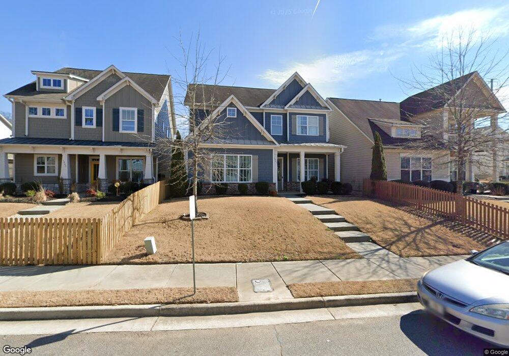
1961 Boyd Trace Ln NW Unit 392 Atlanta, GA 30318
West Highlands NeighborhoodEstimated Value: $583,120 - $669,000
4
Beds
4
Baths
2,195
Sq Ft
$287/Sq Ft
Est. Value
About This Home
This home is located at 1961 Boyd Trace Ln NW Unit 392, Atlanta, GA 30318 and is currently estimated at $629,280, approximately $286 per square foot. 1961 Boyd Trace Ln NW Unit 392 is a home located in Fulton County with nearby schools including Boyd Elementary School, John Lewis Invictus Academy, and Frederick Douglass High School.
Ownership History
Date
Name
Owned For
Owner Type
Purchase Details
Closed on
Dec 22, 2021
Sold by
Mattke Robert Patrick
Bought by
Malbari Chintan and Patel Payal
Current Estimated Value
Home Financials for this Owner
Home Financials are based on the most recent Mortgage that was taken out on this home.
Original Mortgage
$508,951
Outstanding Balance
$468,164
Interest Rate
3.12%
Mortgage Type
New Conventional
Estimated Equity
$161,116
Purchase Details
Closed on
Apr 10, 2017
Sold by
Brock Built Homes Llc
Bought by
Mattke Robert Patrick and Fiacco Christina Lyn
Home Financials for this Owner
Home Financials are based on the most recent Mortgage that was taken out on this home.
Original Mortgage
$377,852
Interest Rate
4.21%
Mortgage Type
VA
Create a Home Valuation Report for This Property
The Home Valuation Report is an in-depth analysis detailing your home's value as well as a comparison with similar homes in the area
Home Values in the Area
Average Home Value in this Area
Purchase History
| Date | Buyer | Sale Price | Title Company |
|---|---|---|---|
| Malbari Chintan | $565,501 | -- | |
| Mattke Robert Patrick | $369,900 | -- |
Source: Public Records
Mortgage History
| Date | Status | Borrower | Loan Amount |
|---|---|---|---|
| Open | Malbari Chintan | $508,951 | |
| Previous Owner | Mattke Robert Patrick | $377,852 |
Source: Public Records
Tax History Compared to Growth
Tax History
| Year | Tax Paid | Tax Assessment Tax Assessment Total Assessment is a certain percentage of the fair market value that is determined by local assessors to be the total taxable value of land and additions on the property. | Land | Improvement |
|---|---|---|---|---|
| 2025 | $6,571 | $206,000 | $74,880 | $131,120 |
| 2023 | $6,571 | $206,000 | $74,880 | $131,120 |
| 2022 | $7,348 | $181,560 | $40,880 | $140,680 |
| 2021 | $4,666 | $164,480 | $33,920 | $130,560 |
| 2020 | $4,513 | $157,600 | $26,720 | $130,880 |
| 2019 | $483 | $152,720 | $26,240 | $126,480 |
| 2018 | $4,198 | $129,880 | $29,480 | $100,400 |
| 2017 | $5,654 | $130,920 | $29,720 | $101,200 |
Source: Public Records
Map
Nearby Homes
- 1976 Boyd Trace Ln NW
- 1977 Stanfield Ave
- Lindsay Plan at West Highlands
- Laurel Plan at West Highlands
- Middleton Plan at West Highlands
- 1954 Sanford Dr
- 2108 Drew Dr NW
- 2100 Drew Dr NW
- 1954 Summit Trace Cir NW
- 1947 Drew Dr
- 1990 Drew Dr
- 1799 Willow Way NW
- 879 Samples Ln NW
- 989 Bibbs Cir NW Unit 25
- 965 Samples Ln NW
- 1784 Hollingsworth Blvd NW
- 2353 Clarissa Dr NW
- 1553 McCallie Blvd NW
- 1961 Boyd Trace Ln NW
- 1961 Boyd Trace Ln NW
- 1965 Boyd Trace Ln NW
- 1965 Boyd Trace Ln NW Unit 393
- 0 Boyd Trace Ln Unit 8637620
- 0 Boyd Trace Ln Unit 8296366
- 0 Boyd Trace Ln Unit 8971020
- 0 Boyd Trace Ln Unit 9065941
- 0 Boyd Trace Ln Unit 9048790
- 1957 Boyd Trace Ln NW Unit 391
- 1957 Boyd Trace Ln NW
- 1969 Boyd Trace Ln NW Unit 394
- 1969 Boyd Trace Ln NW
- 1968 Stanfield Ave
- 1973 Boyd Trace Ln NW Unit 395
- 1973 Boyd Trace Ln NW
- 1964 Boyd Trace Ln NW
- 1964 Boyd Trace Ln NW Unit 400
- 1960 Boyd Trace Ln NW
- 1960 Boyd Trace Ln NW Unit 401