19618 Old Highway 68 E Siloam Springs, AR 72761
Estimated Value: $487,000 - $644,000
--
Bed
3
Baths
3,632
Sq Ft
$160/Sq Ft
Est. Value
About This Home
This home is located at 19618 Old Highway 68 E, Siloam Springs, AR 72761 and is currently estimated at $581,672, approximately $160 per square foot. 19618 Old Highway 68 E is a home located in Benton County with nearby schools including Northside Elementary School, Southside Elementary School, and Delbert Pete & Pat Allen Elementary School.
Ownership History
Date
Name
Owned For
Owner Type
Purchase Details
Closed on
Oct 30, 2002
Bought by
Evans and Evans
Current Estimated Value
Purchase Details
Closed on
Nov 12, 1999
Bought by
Evans
Purchase Details
Closed on
May 13, 1993
Bought by
Evans
Purchase Details
Closed on
Dec 2, 1992
Bought by
Hwy 412 Judgment
Purchase Details
Closed on
May 2, 1963
Bought by
Evans
Create a Home Valuation Report for This Property
The Home Valuation Report is an in-depth analysis detailing your home's value as well as a comparison with similar homes in the area
Home Values in the Area
Average Home Value in this Area
Purchase History
| Date | Buyer | Sale Price | Title Company |
|---|---|---|---|
| Evans | -- | -- | |
| Evans | -- | -- | |
| Evans | -- | -- | |
| Hwy 412 Judgment | $46,000 | -- | |
| Evans | $17,000 | -- |
Source: Public Records
Tax History Compared to Growth
Tax History
| Year | Tax Paid | Tax Assessment Tax Assessment Total Assessment is a certain percentage of the fair market value that is determined by local assessors to be the total taxable value of land and additions on the property. | Land | Improvement |
|---|---|---|---|---|
| 2025 | $1,810 | $79,760 | $5,683 | $74,077 |
| 2024 | $1,852 | $79,760 | $5,683 | $74,077 |
| 2023 | $1,850 | $50,200 | $3,640 | $46,560 |
| 2022 | $1,480 | $50,200 | $3,640 | $46,560 |
| 2021 | $1,738 | $50,200 | $3,640 | $46,560 |
| 2020 | $1,648 | $38,720 | $2,480 | $36,240 |
| 2019 | $1,648 | $38,720 | $2,480 | $36,240 |
| 2018 | $1,673 | $38,720 | $2,480 | $36,240 |
| 2017 | $1,597 | $38,720 | $2,480 | $36,240 |
| 2016 | $1,597 | $38,720 | $2,480 | $36,240 |
| 2015 | $1,854 | $35,590 | $2,120 | $33,470 |
| 2014 | $1,509 | $35,590 | $2,120 | $33,470 |
Source: Public Records
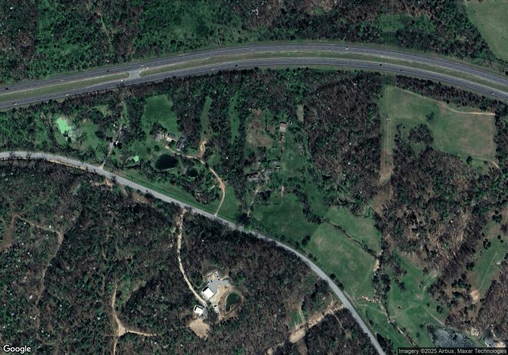
Map
Nearby Homes
- 19372 Old Highway 68 E
- 0 Old Highway 68 Unit 25340983
- 19941 Edgewood Cir
- 8006 David Dr
- 0 E Sugarloaf St
- 7004 David Dr
- 6008 David Dr
- 509 Carter Rd
- 16013 N Airport Rd
- 402 A W Cloud Dr
- 2809 N Denver St
- 2901 N Denver St
- 2807 N Denver St
- 3605 N Marian St
- 15564 Airport Rd
- 925 S Canvasback Dr
- 920 S Canvasback Dr
- 1729-4 Plan at
- 4108 E Razorbill Dr
- 824 S Parrot Ln
- 19746 Hwy 68 (Old)
- 19746 Old Highway 68 E
- 19750 Old Highway 68 E
- 19750 Hwy 68 (Old)
- 0 Old Hwy 68 Unit 391540
- 0 Old Hwy 68 Unit 393737
- 0 Old Hwy 68 Unit 427878
- 0 Old Hwy 68 Unit 454264
- 0 Old Hwy 68 Unit 10-5
- 0 Old Hwy 68 Unit 6-808
- 0 Old Hwy 68 Unit 550134
- 0 Old Hwy 68 Unit 591083
- 0 Old Hwy 68 Unit 694208
- 0 Old Hwy 68 Unit 713621
- 0 Old Hwy 68 Unit 1066611
- 0 Old Hwy 68 Unit 698984
- 0 Old Hwy 68 Unit 1073894
- 0 Old Hwy 68 Unit 1131366
- 19374 Old Hwy 68 Hwy
- 19438 Old Highway 68 E