1965 Ridge Rd Wellsville, PA 17365
Estimated Value: $693,000
3
Beds
2
Baths
2,432
Sq Ft
$285/Sq Ft
Est. Value
About This Home
This home is located at 1965 Ridge Rd, Wellsville, PA 17365 and is currently estimated at $693,000, approximately $284 per square foot. 1965 Ridge Rd is a home located in York County with nearby schools including Dover Area High School.
Ownership History
Date
Name
Owned For
Owner Type
Purchase Details
Closed on
Mar 26, 2004
Sold by
Rupp Thomas E and Rupp Barbara E
Bought by
Rupp Thomas E and Rupp Barbara E
Current Estimated Value
Home Financials for this Owner
Home Financials are based on the most recent Mortgage that was taken out on this home.
Original Mortgage
$83,600
Interest Rate
5.56%
Mortgage Type
New Conventional
Purchase Details
Closed on
May 27, 1994
Bought by
Rupp Thomas E
Create a Home Valuation Report for This Property
The Home Valuation Report is an in-depth analysis detailing your home's value as well as a comparison with similar homes in the area
Home Values in the Area
Average Home Value in this Area
Purchase History
| Date | Buyer | Sale Price | Title Company |
|---|---|---|---|
| Rupp Thomas E | -- | -- | |
| Rupp Thomas E | $10,700 | -- |
Source: Public Records
Mortgage History
| Date | Status | Borrower | Loan Amount |
|---|---|---|---|
| Closed | Rupp Thomas E | $83,600 |
Source: Public Records
Tax History Compared to Growth
Tax History
| Year | Tax Paid | Tax Assessment Tax Assessment Total Assessment is a certain percentage of the fair market value that is determined by local assessors to be the total taxable value of land and additions on the property. | Land | Improvement |
|---|---|---|---|---|
| 2025 | $3,605 | $131,160 | $1,890 | $129,270 |
| 2024 | $3,566 | $131,160 | $1,890 | $129,270 |
| 2023 | $3,495 | $131,160 | $1,890 | $129,270 |
| 2022 | $3,421 | $131,160 | $1,890 | $129,270 |
| 2021 | $3,838 | $131,160 | $1,890 | $129,270 |
| 2020 | $3,803 | $131,160 | $1,890 | $129,270 |
| 2019 | $3,754 | $131,160 | $1,890 | $129,270 |
| 2018 | $3,697 | $131,160 | $1,890 | $129,270 |
| 2017 | $3,697 | $131,160 | $1,890 | $129,270 |
| 2016 | $0 | $131,160 | $1,890 | $129,270 |
| 2015 | -- | $131,020 | $1,750 | $129,270 |
| 2014 | -- | $186,710 | $57,440 | $129,270 |
Source: Public Records
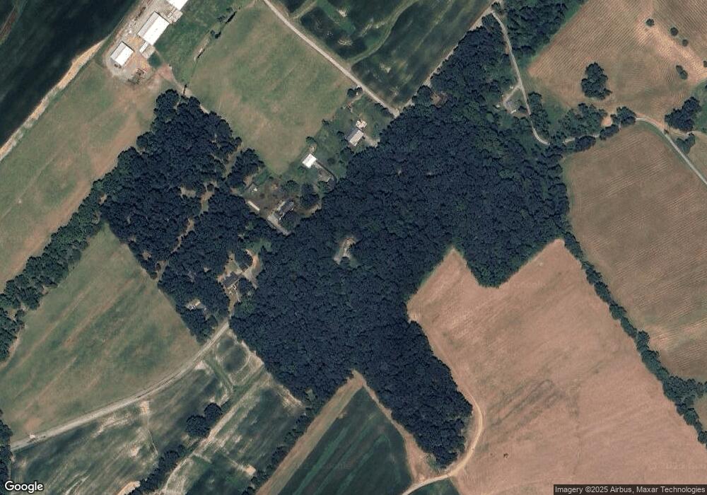
Map
Nearby Homes
- 22 Bentz Mill Rd
- 206 Bentz Mill Rd
- 138 S Peiffer Rd
- 10 Hull Dr
- 265 Pine Woods Rd
- 580 S Kralltown Rd
- 160 Myers Rd
- Tract #1 Carlisle Rd
- 375 Mount Zion Rd
- 270 S Winding Rd
- 1014 Pondtown Rd
- 1540 Baltimore Rd
- 124 Big Dam Rd
- 0 W Camping Area Rd
- 112 W South St
- 0 Church St Unit PAYK2054218
- 200 Franklintown Rd
- 107 Pickett Rd
- TBD Nell Rd
- 6691 Harmony Grove Rd
- 1960 Ridge Rd
- 1962 Ridge Rd
- 1958 Ridge Rd
- 1970 Ridge Rd
- 1953 Ridge Rd
- 1931 Ridge Rd
- 382 Kralltown Rd
- 360 Kralltown Rd
- 370 Kralltown Rd
- 258 Mine Bank Rd
- 244 Mine Bank Rd
- 350 Kralltown Rd
- 253 Mine Bank Rd
- 247 Mine Bank Rd
- 233 Mine Bank Rd
- 137 Harbold Altland Rd
- 1988 Ridge Rd
- 287 Mine Bank Rd
- 362 Kralltown Rd
- 420 Kralltown Rd