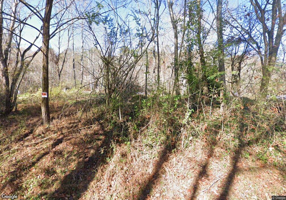
197 Martin Ln Palmer, TN 37365
Estimated Value: $80,000 - $196,000
--
Bed
1
Bath
948
Sq Ft
$147/Sq Ft
Est. Value
About This Home
This home is located at 197 Martin Ln, Palmer, TN 37365 and is currently estimated at $139,667, approximately $147 per square foot. 197 Martin Ln is a home located in Grundy County.
Ownership History
Date
Name
Owned For
Owner Type
Purchase Details
Closed on
May 20, 2024
Sold by
Campbell Patricia
Bought by
Cartony Revocable Trust
Current Estimated Value
Purchase Details
Closed on
Oct 29, 2008
Sold by
Meeks Richard N
Bought by
Meeks Patricia Ann
Purchase Details
Closed on
Jul 29, 1988
Bought by
Meeks Richard N Etaux Patricia Ann
Purchase Details
Closed on
Nov 5, 1973
Bought by
Dent Dent J and Dent Faye
Create a Home Valuation Report for This Property
The Home Valuation Report is an in-depth analysis detailing your home's value as well as a comparison with similar homes in the area
Home Values in the Area
Average Home Value in this Area
Purchase History
| Date | Buyer | Sale Price | Title Company |
|---|---|---|---|
| Cartony Revocable Trust | $2,000 | None Listed On Document | |
| Meeks Patricia Ann | -- | -- | |
| Meeks Richard N Etaux Patricia Ann | $11,500 | -- | |
| Dent Dent J | -- | -- |
Source: Public Records
Tax History Compared to Growth
Tax History
| Year | Tax Paid | Tax Assessment Tax Assessment Total Assessment is a certain percentage of the fair market value that is determined by local assessors to be the total taxable value of land and additions on the property. | Land | Improvement |
|---|---|---|---|---|
| 2024 | $32 | $2,250 | $2,250 | $0 |
| 2023 | $32 | $24,675 | $2,250 | $22,425 |
| 2022 | $321 | $14,525 | $1,475 | $13,050 |
| 2021 | $321 | $14,525 | $1,475 | $13,050 |
| 2020 | $321 | $14,525 | $1,475 | $13,050 |
| 2019 | $350 | $14,450 | $1,400 | $13,050 |
| 2018 | $350 | $13,800 | $1,400 | $12,400 |
| 2017 | $350 | $13,800 | $1,400 | $12,400 |
| 2016 | $352 | $13,875 | $1,400 | $12,475 |
| 2015 | $352 | $13,875 | $1,400 | $12,475 |
| 2014 | $352 | $13,872 | $0 | $0 |
Source: Public Records
Map
Nearby Homes
- 0 Main St Unit RTC2796154
- 273 E Lee Dr
- 1565 Main St
- 211 Rock Ave
- 14 Sawmill Rd
- Tract 12 Sawmill Rd
- 13 Sawmill Rd
- 148 Sawmill Rd
- Tract 14 Sawmill Rd
- 12 Sawmill Rd
- Tract 13 Sawmill Rd
- Tract 12 Saw Mill Rd
- Tract 14 Sawmill Rd
- 1077 Rock Ave
- 591 Main St
- 571 Main St
- 1970 Rock Ave
- 0 Keith Brewer Rd
- 1235 Tatesville Rd
- 34 Sr 399
- 1 Martin Ln
- 4 Martin Ln
- 225 Martin Ln
- 123 Martin Ln
- 259 Martin Ln
- 116 Big Mine Rd
- 148 Big Mine Rd
- 80 Big Mine Rd
- 117 Martin Ln
- 190 Big Mine Rd
- 76 Big Mine Rd
- 293 Martin Ln
- 216 Big Mine Rd
- 61 Martin Ln
- 129 Big Mine Rd
- 1 Hwy 108
- 0 Hwy 108 Unit 1111563
- 108 Hwy 108
- 0 Hwy 108 Unit 1138523
- 0 Hwy 108 Unit 1017923
