Estimated Value: $585,000 - $634,000
4
Beds
3
Baths
2,937
Sq Ft
$209/Sq Ft
Est. Value
About This Home
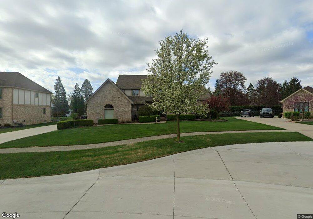
This home is located at 197 Pheasant Run Dr, Troy, MI 48098 and is currently estimated at $613,881, approximately $209 per square foot. 197 Pheasant Run Dr is a home located in Oakland County with nearby schools including Woodland Elementary School, Avondale Middle School, and Avondale High School.
Ownership History
Date
Name
Owned For
Owner Type
Purchase Details
Closed on
Jan 2, 2009
Sold by
Montano Dawn M and The Dawn M Montano Trust
Bought by
Montano Joseph and Montano Dawn M
Current Estimated Value
Home Financials for this Owner
Home Financials are based on the most recent Mortgage that was taken out on this home.
Original Mortgage
$235,000
Interest Rate
5.96%
Mortgage Type
New Conventional
Purchase Details
Closed on
Apr 21, 2004
Sold by
Montano Joseph C and Montano Dawn M
Bought by
Montano Dawn M and Dawn M Montano Trust
Home Financials for this Owner
Home Financials are based on the most recent Mortgage that was taken out on this home.
Original Mortgage
$253,000
Interest Rate
5%
Mortgage Type
New Conventional
Purchase Details
Closed on
Mar 30, 2003
Sold by
Montano Joseph C and Montano Dawn M
Bought by
Montano Dawn M and Dawn M Montano Trust
Create a Home Valuation Report for This Property
The Home Valuation Report is an in-depth analysis detailing your home's value as well as a comparison with similar homes in the area
Home Values in the Area
Average Home Value in this Area
Purchase History
| Date | Buyer | Sale Price | Title Company |
|---|---|---|---|
| Montano Joseph | -- | Fidelity Natl Title Ins Co | |
| Montano Dawn M | -- | -- | |
| Montano Joseph C | -- | -- | |
| Montano Dawn M | -- | -- |
Source: Public Records
Mortgage History
| Date | Status | Borrower | Loan Amount |
|---|---|---|---|
| Closed | Montano Joseph | $235,000 | |
| Closed | Montano Joseph C | $253,000 |
Source: Public Records
Tax History Compared to Growth
Tax History
| Year | Tax Paid | Tax Assessment Tax Assessment Total Assessment is a certain percentage of the fair market value that is determined by local assessors to be the total taxable value of land and additions on the property. | Land | Improvement |
|---|---|---|---|---|
| 2022 | $4,738 | $209,080 | $0 | $0 |
| 2015 | $5,166 | $169,080 | $0 | $0 |
| 2014 | -- | $138,740 | $0 | $0 |
| 2011 | -- | $168,860 | $0 | $0 |
Source: Public Records
Map
Nearby Homes
- 58 Ingram Dr
- 1370 South Blvd W
- 538 Scone Dr
- 3970 Cone Ave
- 6952 Granger Dr
- 3931 Mildred Ave
- 6460 Elmoor Dr
- 376 E Lovell Dr
- 6768 Merrick Dr Unit 12
- 219 Ottawa Dr
- 273 Strawberry Dr
- 415 Booth Rd
- 496 E Lovell Dr
- 667 Shortridge Ave
- 3437 Cascade Cir Unit 3
- 69 Kaprol Dr
- 5911 Picall Dr
- 6817 Woodcrest Dr
- 3226 Fantail Dr Unit 12
- 795 Red Run Dr Unit 42
- 179 Pheasant Run Dr
- 170 W Lovell Dr
- 215 Pheasant Run Dr
- 140 W Lovell Dr
- 161 Pheasant Run Dr
- 196 Pheasant Run Dr
- 180 W Lovell Dr
- 6813 Saint Clair Dr
- 178 Pheasant Run Dr
- 6831 Saint Clair Dr
- 143 Pheasant Run Dr
- 112 W Lovell Dr
- 160 Pheasant Run Dr
- 171 W Lovell Dr
- 6820 Fredmoor Dr
- 6808 Fredmoor Dr
- 141 W Lovell Dr
- 6832 Fredmoor Dr
- 185 W Lovell Dr
- 142 Pheasant Run Dr