197 Wilder Rd Bolton, MA 01740
Estimated Value: $838,498 - $919,000
3
Beds
3
Baths
2,153
Sq Ft
$412/Sq Ft
Est. Value
About This Home
This home is located at 197 Wilder Rd, Bolton, MA 01740 and is currently estimated at $887,625, approximately $412 per square foot. 197 Wilder Rd is a home located in Worcester County with nearby schools including Florence Sawyer School, Nashoba Regional High School, and South Lancaster Academy.
Ownership History
Date
Name
Owned For
Owner Type
Purchase Details
Closed on
Jan 18, 1989
Sold by
Hamill Tr Creighton
Bought by
Shanny Robert F
Current Estimated Value
Home Financials for this Owner
Home Financials are based on the most recent Mortgage that was taken out on this home.
Original Mortgage
$300,000
Interest Rate
10.38%
Mortgage Type
Purchase Money Mortgage
Create a Home Valuation Report for This Property
The Home Valuation Report is an in-depth analysis detailing your home's value as well as a comparison with similar homes in the area
Home Values in the Area
Average Home Value in this Area
Purchase History
| Date | Buyer | Sale Price | Title Company |
|---|---|---|---|
| Shanny Robert F | $461,317 | -- |
Source: Public Records
Mortgage History
| Date | Status | Borrower | Loan Amount |
|---|---|---|---|
| Closed | Shanny Robert F | $280,000 | |
| Closed | Shanny Robert F | $300,000 |
Source: Public Records
Tax History Compared to Growth
Tax History
| Year | Tax Paid | Tax Assessment Tax Assessment Total Assessment is a certain percentage of the fair market value that is determined by local assessors to be the total taxable value of land and additions on the property. | Land | Improvement |
|---|---|---|---|---|
| 2025 | $13,562 | $816,000 | $245,000 | $571,000 |
| 2024 | $13,023 | $800,900 | $235,000 | $565,900 |
| 2023 | $12,528 | $715,900 | $233,200 | $482,700 |
| 2022 | $11,499 | $578,700 | $213,200 | $365,500 |
| 2021 | $11,269 | $540,200 | $213,200 | $327,000 |
| 2020 | $11,194 | $549,000 | $213,200 | $335,800 |
| 2019 | $10,951 | $535,000 | $213,200 | $321,800 |
| 2018 | $10,568 | $511,500 | $205,000 | $306,500 |
| 2017 | $10,136 | $478,100 | $200,000 | $278,100 |
| 2016 | $10,120 | $484,000 | $185,000 | $299,000 |
| 2015 | $9,819 | $468,000 | $190,000 | $278,000 |
| 2014 | $9,599 | $452,800 | $195,000 | $257,800 |
Source: Public Records
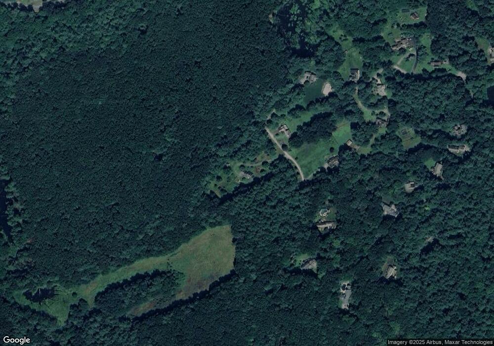
Map
Nearby Homes
- 903 Main St
- 11 Pondside Ln Unit 11
- 3 Pondside Ln Unit 3
- 93 Fox Run Rd
- 22 Kettle Hole Rd
- 112 Nourse Rd
- 93 Vaughn Hill Rd
- 285 Still River Rd
- 720 Main St
- 725 Main St
- 0 Wattaquadock Hill Rd
- 15 Mallard Ln Unit 7
- 107 Ridgefield Cir Unit D
- 103 Ridgefield Cir Unit B
- 238 Mill Street Extension
- 200 Ridgefield Cir Unit C
- 920 Ridgefield Cir Unit C
- 921 Ridgefield Cir Unit C
- 63 Settlers Path
- 90 Harvard Rd
- 191 Wilder Rd
- 183 Wilder Rd
- 179 Wilder Rd
- 195 Wilder Rd
- 145 Wilder Rd
- 167 Wilder Rd
- 119 Wilder Rd
- 121 Wilder Rd
- 161 Wilder Rd
- 159 Wilder Rd
- 113 Wilder Rd
- 153 Wilder Rd
- 147 Wilder Rd
- 117 Wilder Rd
- 40 Forbush Mill Rd
- 207 Wilder Rd
- 203 Wilder Rd
- 115 Wilder Rd
- 31 Goose Pond Path Unit 31
- 34 Goose Pond Path