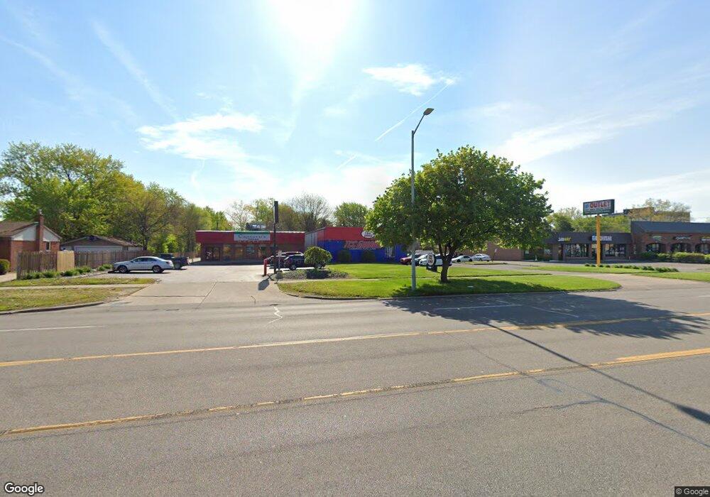
19708 Middlebelt Rd Unit Bldg-Unit Livonia, MI 48152
Estimated Value: $462,098
--
Bed
--
Bath
4,085
Sq Ft
$113/Sq Ft
Est. Value
About This Home
This home is located at 19708 Middlebelt Rd Unit Bldg-Unit, Livonia, MI 48152 and is currently estimated at $462,098, approximately $113 per square foot. 19708 Middlebelt Rd Unit Bldg-Unit is a home located in Wayne County with nearby schools including Clarenceville High School, Grand River Academy, and Concordia Lutheran School.
Ownership History
Date
Name
Owned For
Owner Type
Purchase Details
Closed on
Jun 7, 2024
Sold by
Radgens Investments Llc
Bought by
Total Car Care Farmington Llc
Current Estimated Value
Purchase Details
Closed on
May 31, 2024
Sold by
Revocable Living Trust Agreement Of Rosi and Grisa Rosina V
Bought by
Radgens Investments Llc
Purchase Details
Closed on
Mar 5, 2021
Sold by
Grisa Rosina V
Bought by
Grisa Rosina V and Grisa Rosina V
Purchase Details
Closed on
Mar 23, 2018
Sold by
Grisa Rosina V
Bought by
Radgens Investments Llc
Create a Home Valuation Report for This Property
The Home Valuation Report is an in-depth analysis detailing your home's value as well as a comparison with similar homes in the area
Home Values in the Area
Average Home Value in this Area
Purchase History
| Date | Buyer | Sale Price | Title Company |
|---|---|---|---|
| Total Car Care Farmington Llc | -- | None Listed On Document | |
| Radgens Investments Llc | -- | None Listed On Document | |
| Grisa Rosina V | -- | None Available | |
| Radgens Investments Llc | $420,000 | None Listed On Document |
Source: Public Records
Tax History Compared to Growth
Tax History
| Year | Tax Paid | Tax Assessment Tax Assessment Total Assessment is a certain percentage of the fair market value that is determined by local assessors to be the total taxable value of land and additions on the property. | Land | Improvement |
|---|---|---|---|---|
| 2025 | $6,788 | $186,100 | $0 | $0 |
| 2024 | $6,788 | $172,400 | $0 | $0 |
| 2023 | $6,569 | $168,400 | $0 | $0 |
| 2022 | $9,703 | $159,300 | $0 | $0 |
| 2021 | $8,614 | $155,700 | $0 | $0 |
| 2019 | $8,653 | $155,700 | $0 | $0 |
| 2018 | $5,866 | $149,800 | $0 | $0 |
| 2017 | $4,989 | $150,400 | $0 | $0 |
| 2016 | $9,452 | $149,900 | $0 | $0 |
| 2015 | $16,069 | $164,790 | $0 | $0 |
| 2012 | -- | $162,580 | $83,250 | $79,330 |
Source: Public Records
Map
Nearby Homes
- 29675 Nottingham Cir Unit 20
- 19921 Melvin St
- 20352 Beatrice St
- 20280 Melvin St
- 29560 Clarita St Unit 11
- 30285 7 Mile Rd
- 29721 Pickford St
- 18884 Lathers St
- 20229 Floral St
- 29135 Scotten St
- 19499 Saint Francis St
- 20555 Angling St
- 18872 Hillcrest St
- 28418 W 8 Mile Rd Unit C1
- 28418 W 8 Mile Rd Unit A1
- 20577 Angling St
- 20159 Deering St
- 27725 Norfolk St
- 18496 Brentwood St
- 19661 Antago St
- 19708 Middlebelt Rd
- 19704 Middlebelt Rd
- 19738 Middlebelt Rd
- 29227 Bretton St
- 29215 Bretton St Unit Bldg-Unit
- 29215 Bretton St
- 29237 Bretton St
- 29151 Bretton St
- 29247 Bretton St
- 19610 Middlebelt Rd
- 19715 Middlebelt Rd
- 29154 Saint Martins St
- 29138 Saint Martins St
- 29105 Bretton St
- 19731 Middlebelt Rd
- 29230 Bretton St
- 19791 Middlebelt Rd
- 29220 Bretton St
- 29120 Saint Martins St
- 29204 Bretton St