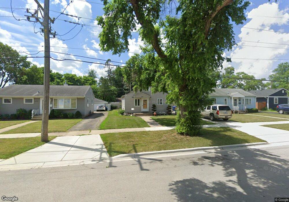
1971 Howard Ave Des Plaines, IL 60018
Estimated Value: $282,000 - $352,000
3
Beds
1
Bath
854
Sq Ft
$363/Sq Ft
Est. Value
About This Home
This home is located at 1971 Howard Ave, Des Plaines, IL 60018 and is currently estimated at $310,398, approximately $363 per square foot. 1971 Howard Ave is a home located in Cook County with nearby schools including South Elementary School, Algonquin Middle School, and Maine West High School.
Ownership History
Date
Name
Owned For
Owner Type
Purchase Details
Closed on
Feb 14, 2001
Sold by
Maldonado Angel
Bought by
Maldonado Angel and Maldonado Madelourdes
Current Estimated Value
Home Financials for this Owner
Home Financials are based on the most recent Mortgage that was taken out on this home.
Original Mortgage
$150,100
Interest Rate
6.99%
Purchase Details
Closed on
Dec 21, 2000
Sold by
Huber Paul
Bought by
Maldonado Angel
Home Financials for this Owner
Home Financials are based on the most recent Mortgage that was taken out on this home.
Original Mortgage
$150,100
Interest Rate
6.99%
Create a Home Valuation Report for This Property
The Home Valuation Report is an in-depth analysis detailing your home's value as well as a comparison with similar homes in the area
Home Values in the Area
Average Home Value in this Area
Purchase History
| Date | Buyer | Sale Price | Title Company |
|---|---|---|---|
| Maldonado Angel | -- | -- | |
| Maldonado Angel | $158,000 | Professional National Title |
Source: Public Records
Mortgage History
| Date | Status | Borrower | Loan Amount |
|---|---|---|---|
| Previous Owner | Maldonado Angel | $150,100 |
Source: Public Records
Tax History Compared to Growth
Tax History
| Year | Tax Paid | Tax Assessment Tax Assessment Total Assessment is a certain percentage of the fair market value that is determined by local assessors to be the total taxable value of land and additions on the property. | Land | Improvement |
|---|---|---|---|---|
| 2024 | $4,399 | $20,001 | $4,238 | $15,763 |
| 2023 | $4,266 | $20,001 | $4,238 | $15,763 |
| 2022 | $4,266 | $20,001 | $4,238 | $15,763 |
| 2021 | $4,083 | $16,613 | $3,531 | $13,082 |
| 2020 | $4,083 | $16,613 | $3,531 | $13,082 |
| 2019 | $4,101 | $18,667 | $3,531 | $15,136 |
| 2018 | $3,821 | $16,211 | $3,107 | $13,104 |
| 2017 | $3,771 | $16,211 | $3,107 | $13,104 |
| 2016 | $3,811 | $16,211 | $3,107 | $13,104 |
| 2015 | $3,639 | $14,660 | $2,683 | $11,977 |
| 2014 | $3,578 | $14,660 | $2,683 | $11,977 |
| 2013 | $3,472 | $14,660 | $2,683 | $11,977 |
Source: Public Records
Map
Nearby Homes
- 1928 Kennicott Ct
- 1640 S River Rd
- 1721 Linden St
- 38 E Touhy Ave
- 1706 Buckingham Dr
- 2500 Maple St
- 1724 Illinois St
- 1641 E Touhy Ave
- 1966 Laura Ln
- 1629 E Touhy Ave
- 1689 S Elm St
- 1696 S Elm St
- 2017 Pine St Unit B
- 2609 Eisenhower Dr
- 1632 S Elm St
- 2126 David Dr
- 22 Park Ln Unit 203
- 44 Park Ln Unit 435
- 1700 E Forest Ave
- 300 Boardwalk Place Unit T300
- 1979 Howard Ave
- 1963 Howard Ave
- 2023 Cedar St
- 1987 Howard Ave
- 2003 Cedar St
- 1995 Howard Ave Unit 1995 Howard
- 1995 Howard Ave
- 2033 Cedar St
- 1970 Howard Ave
- 1980 Howard Ave
- 1980 Howard Ave Unit 1A
- 1980 Howard Ave Unit 3A
- 1960 Howard Ave
- 2004 Cedar St
- 2043 Cedar St
- 1950 Howard Ave
- 1982 S River Rd
- 2012 Cedar St
- 1940 Howard Ave
- 2014 Cedar St