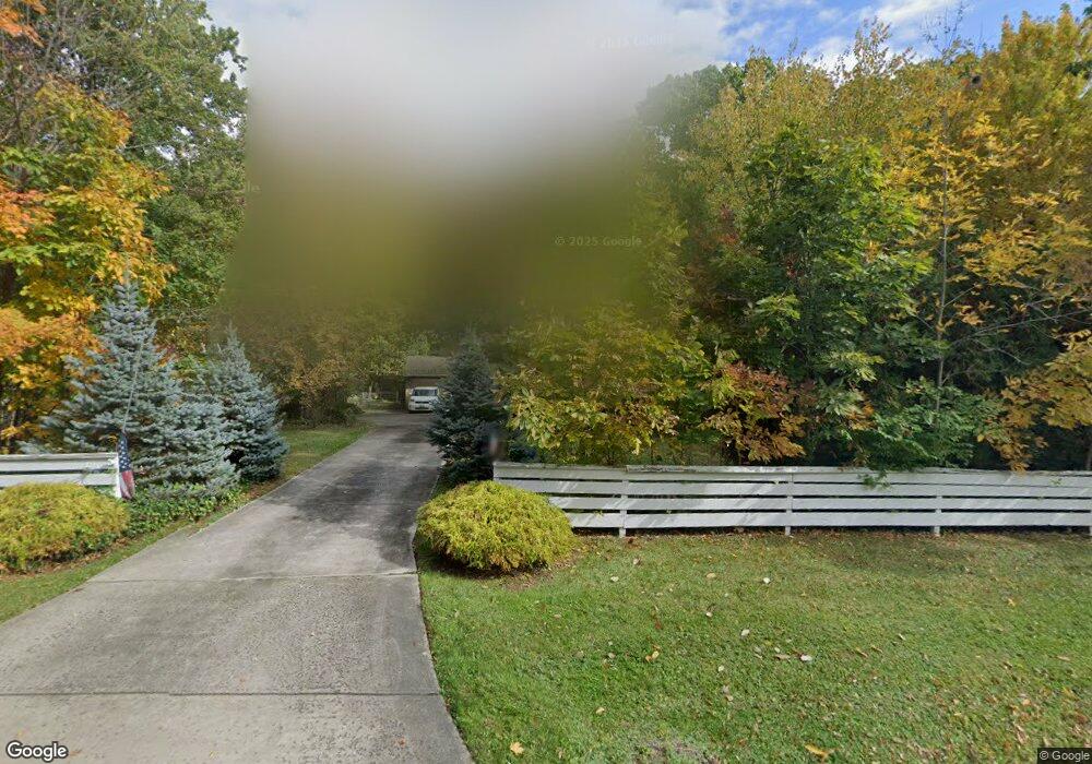
19722 Albion Rd Strongsville, OH 44149
Estimated Value: $355,219 - $395,000
4
Beds
3
Baths
2,479
Sq Ft
$150/Sq Ft
Est. Value
About This Home
This home is located at 19722 Albion Rd, Strongsville, OH 44149 and is currently estimated at $372,555, approximately $150 per square foot. 19722 Albion Rd is a home located in Cuyahoga County with nearby schools including Strongsville High School and Sts Joseph & John Interparochial School.
Ownership History
Date
Name
Owned For
Owner Type
Purchase Details
Closed on
Apr 6, 2017
Sold by
Mackenzie David and Mackenzie Karen Patricia
Bought by
Mackenzie David
Current Estimated Value
Purchase Details
Closed on
Sep 19, 1995
Sold by
Hrenya John
Bought by
Mackenzie David A and Sherman Karen P
Home Financials for this Owner
Home Financials are based on the most recent Mortgage that was taken out on this home.
Original Mortgage
$122,400
Interest Rate
6.5%
Mortgage Type
New Conventional
Purchase Details
Closed on
Aug 6, 1976
Sold by
Pristas Michael and Pristas Alberta
Bought by
Hrenya John
Purchase Details
Closed on
Jan 1, 1975
Bought by
Pristas Michael and Pristas Alberta
Create a Home Valuation Report for This Property
The Home Valuation Report is an in-depth analysis detailing your home's value as well as a comparison with similar homes in the area
Home Values in the Area
Average Home Value in this Area
Purchase History
| Date | Buyer | Sale Price | Title Company |
|---|---|---|---|
| Mackenzie David | -- | None Available | |
| Mackenzie David A | $153,500 | -- | |
| Hrenya John | $66,000 | -- | |
| Pristas Michael | -- | -- |
Source: Public Records
Mortgage History
| Date | Status | Borrower | Loan Amount |
|---|---|---|---|
| Closed | Mackenzie David A | $122,400 |
Source: Public Records
Tax History Compared to Growth
Tax History
| Year | Tax Paid | Tax Assessment Tax Assessment Total Assessment is a certain percentage of the fair market value that is determined by local assessors to be the total taxable value of land and additions on the property. | Land | Improvement |
|---|---|---|---|---|
| 2024 | $5,029 | $107,100 | $21,035 | $86,065 |
| 2023 | $4,944 | $78,960 | $19,880 | $59,080 |
| 2022 | $4,908 | $78,960 | $19,880 | $59,080 |
| 2021 | $4,869 | $78,960 | $19,880 | $59,080 |
| 2020 | $4,829 | $69,270 | $17,430 | $51,840 |
| 2019 | $4,687 | $197,900 | $49,800 | $148,100 |
| 2018 | $4,254 | $69,270 | $17,430 | $51,840 |
| 2017 | $4,570 | $68,890 | $14,250 | $54,640 |
| 2016 | $4,533 | $68,890 | $14,250 | $54,640 |
| 2015 | $4,464 | $68,890 | $14,250 | $54,640 |
| 2014 | $4,464 | $66,890 | $13,830 | $53,060 |
Source: Public Records
Map
Nearby Homes
- 19890 Idlewood Trail
- 10986 Fawn Meadow Ln
- 11179 Fawn Meadow Ln
- 19997 Idlewood Trail
- 20050 Idlewood Trail
- 19240 Briarwood Ln
- 20424 Scotch Pine Way
- 11432 Pearl Rd
- 11499 Pearl Rd Unit A106
- 20684 Albion Rd
- 9401 Pheasant Run Place
- 10839 Prospect Rd
- 12385 Corinth Ct
- 12539 Olympus Way
- 21176 Hickory Branch Trail
- 12647 Edgepark Cir
- 12694 Ionia Ct
- 18433 Whitney Rd
- 18336 Falling Water Rd
- 21355 Hickory Branch Trail
- 19690 Albion Rd
- 10532 Hickory Place
- 19723 Tanbark Ln
- 19682 Albion Rd
- 19691 Tanbark Ln
- 19790 Albion Rd
- 19759 Tanbark Ln
- 19751 Albion Rd
- 19759 Albion Rd
- 19655 Tanbark Ln
- 19719 Albion Rd
- 19819 Albion Rd
- 19622 Albion Rd
- 19791 Tanbark Ln
- 19655 Tanback Ln
- 19687 Albion Rd
- 10547 Hickory Place
- 19614 Albion Rd
- 19722 Tanbark Ln
- 19615 Tanbark Ln