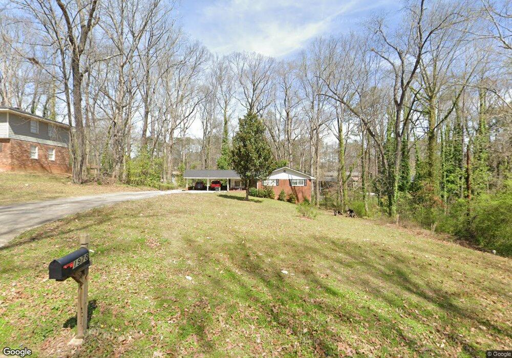
1978 Annette Ln Unit 1 Austell, GA 30106
Estimated Value: $257,000 - $339,000
5
Beds
2
Baths
1,576
Sq Ft
$186/Sq Ft
Est. Value
About This Home
This home is located at 1978 Annette Ln Unit 1, Austell, GA 30106 and is currently estimated at $293,545, approximately $186 per square foot. 1978 Annette Ln Unit 1 is a home located in Cobb County with nearby schools including Deerwood Elementary School, Austell Elementary School, and Garrett Middle School.
Ownership History
Date
Name
Owned For
Owner Type
Purchase Details
Closed on
Feb 15, 2022
Sold by
Vsp Atlanta Llc
Bought by
Cbpic Ga Owner I Llc
Current Estimated Value
Purchase Details
Closed on
Mar 6, 2018
Sold by
Wynn Kahren C
Bought by
Rcm Fund 1 Owner Llc
Purchase Details
Closed on
May 17, 1996
Sold by
Folds Patricia E
Bought by
Wynn Kahren C
Create a Home Valuation Report for This Property
The Home Valuation Report is an in-depth analysis detailing your home's value as well as a comparison with similar homes in the area
Home Values in the Area
Average Home Value in this Area
Purchase History
| Date | Buyer | Sale Price | Title Company |
|---|---|---|---|
| Cbpic Ga Owner I Llc | $4,127,700 | None Listed On Document | |
| Rcm Fund 1 Owner Llc | $106,500 | -- | |
| Wynn Kahren C | $75,500 | -- |
Source: Public Records
Mortgage History
| Date | Status | Borrower | Loan Amount |
|---|---|---|---|
| Closed | Wynn Kahren C | $0 |
Source: Public Records
Tax History Compared to Growth
Tax History
| Year | Tax Paid | Tax Assessment Tax Assessment Total Assessment is a certain percentage of the fair market value that is determined by local assessors to be the total taxable value of land and additions on the property. | Land | Improvement |
|---|---|---|---|---|
| 2025 | $4,038 | $134,024 | $26,000 | $108,024 |
| 2024 | $3,346 | $110,992 | $24,000 | $86,992 |
| 2023 | $3,413 | $113,188 | $18,000 | $95,188 |
| 2022 | $1,946 | $64,120 | $9,920 | $54,200 |
| 2021 | $1,946 | $64,120 | $9,920 | $54,200 |
| 2020 | $1,714 | $56,476 | $10,000 | $46,476 |
| 2019 | $1,293 | $42,600 | $6,480 | $36,120 |
| 2018 | $385 | $43,300 | $7,200 | $36,100 |
| 2017 | $298 | $37,112 | $6,000 | $31,112 |
| 2016 | $280 | $35,188 | $5,600 | $29,588 |
| 2015 | $223 | $27,900 | $8,000 | $19,900 |
| 2014 | $228 | $27,900 | $0 | $0 |
Source: Public Records
Map
Nearby Homes
- 1943 Arnold Dr
- 1971 Annette Ln
- 1803 Gherry Dr
- 1 Perkerson Mill Rd SW
- 5164 Medford Ln
- 5154 Medford Ln
- 2140 Perkerson Mill Rd
- Bayberry Plan at Sawmill Creek - Bungalow Series
- Wisteria Plan at Sawmill Creek - Bungalow Series
- Redbud Plan at Sawmill Creek - Bungalow Series
- Laurel Plan at Avenbrook
- Rosedale Plan at Avenbrook
- Fulmont at Avenbrook Plan at Avenbrook
- Addison Plan at Avenbrook
- Conley Plan at Avenbrook
- 1841 Mobley St
- 2136 Perkerson Mill Rd SW
- 0 Harris St Unit 7661273
- 1645 Fulmont Cir
- 5466 Davis Dr
- 1988 Annette Ln
- 1969 Arnold Dr
- 1971 Arnold Dr
- 1998 Annette Ln
- 1981 Arnold Dr
- 1932 Annette Ln
- 1977 Annette Ln
- 2005 Arnold Dr
- 1967 Annette Ln
- 2020 Annette Ln
- 1987 Annette Ln
- 2020 Annette Ln SW
- 1997 Annette Ln
- 0 Arnold Dr Unit 8724630
- 0 Arnold Dr Unit 7120834
- 0 Arnold Dr Unit 7361029
- 1970 Arnold Dr
- 1928 Annette Ln Unit 2
- 2017 Arnold Dr
- 1984 Arnold Dr