1978 Gross Rd Pottstown, PA 19464
Estimated Value: $357,727 - $377,000
3
Beds
2
Baths
1,350
Sq Ft
$274/Sq Ft
Est. Value
About This Home
This home is located at 1978 Gross Rd, Pottstown, PA 19464 and is currently estimated at $369,432, approximately $273 per square foot. 1978 Gross Rd is a home located in Montgomery County with nearby schools including Lower Pottsgrove Elementary School, Pottsgrove Middle School, and Pottsgrove Senior High School.
Ownership History
Date
Name
Owned For
Owner Type
Purchase Details
Closed on
Feb 21, 2023
Sold by
Swavely Martha L
Bought by
Swavely Martha L and Barnshaw Stephanie A
Current Estimated Value
Purchase Details
Closed on
Jan 30, 2004
Sold by
Swavely Martha L and Buchert Anna M
Bought by
Swavely Martha L
Home Financials for this Owner
Home Financials are based on the most recent Mortgage that was taken out on this home.
Original Mortgage
$80,000
Interest Rate
5.82%
Purchase Details
Closed on
Jan 24, 1994
Sold by
Swavely Martha L
Bought by
Swavely Martha L and Buchert Anna M
Create a Home Valuation Report for This Property
The Home Valuation Report is an in-depth analysis detailing your home's value as well as a comparison with similar homes in the area
Home Values in the Area
Average Home Value in this Area
Purchase History
| Date | Buyer | Sale Price | Title Company |
|---|---|---|---|
| Swavely Martha L | -- | None Listed On Document | |
| Swavely Martha L | -- | None Listed On Document | |
| Swavely Martha L | -- | -- | |
| Swavely Martha L | -- | -- |
Source: Public Records
Mortgage History
| Date | Status | Borrower | Loan Amount |
|---|---|---|---|
| Previous Owner | Swavely Martha L | $80,000 |
Source: Public Records
Tax History Compared to Growth
Tax History
| Year | Tax Paid | Tax Assessment Tax Assessment Total Assessment is a certain percentage of the fair market value that is determined by local assessors to be the total taxable value of land and additions on the property. | Land | Improvement |
|---|---|---|---|---|
| 2025 | $5,398 | $110,090 | $37,620 | $72,470 |
| 2024 | $5,398 | $110,090 | $37,620 | $72,470 |
| 2023 | $5,230 | $110,090 | $37,620 | $72,470 |
| 2022 | $5,152 | $110,090 | $37,620 | $72,470 |
| 2021 | $5,078 | $110,090 | $37,620 | $72,470 |
| 2020 | $5,059 | $110,090 | $37,620 | $72,470 |
| 2019 | $5,032 | $110,090 | $37,620 | $72,470 |
| 2018 | $864 | $110,090 | $37,620 | $72,470 |
| 2017 | $5,049 | $110,090 | $37,620 | $72,470 |
| 2016 | $5,006 | $110,090 | $37,620 | $72,470 |
| 2015 | $4,892 | $110,090 | $37,620 | $72,470 |
| 2014 | $4,892 | $110,090 | $37,620 | $72,470 |
Source: Public Records
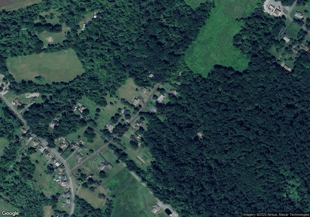
Map
Nearby Homes
- 318 Haven Dr
- 314 Haven Dr
- 302 Haven Dr
- 296 Haven Dr
- 290 Haven Dr
- 284 Haven Dr
- 278 Haven Dr
- Laurel Plan at Pottsgrove Hunt - 55+
- NEUVILLE Plan at Pottsgrove Hunt - 55+
- Lismore Plan at Pottsgrove Hunt - 55+
- 157 Forage Cir
- 145 Forage Cir
- 164 Birdsong Way
- 201 Lilly Dr
- 158 Lilly Dr
- 110 Lilly Dr
- 141 Greshville Rd
- 290 Buchert Rd Unit 1
- 288 Buchert Rd Unit 2
- 286 Buchert Rd
- 1984 Gross Rd
- 1975 Gross Rd
- 1970 Gross Rd
- 1988 Gross Rd
- 1958 Gross Rd
- 1981 Gross Rd
- 1969 Gross Rd
- 1964 Gross Rd
- 1991 Gross Rd
- 1995 Gross Rd
- 1961 Gross Rd
- 2010 Gross Rd
- 1959 Gross Rd
- 1950 Gross Rd
- 1940 Farmington Ave
- 2 Farmington Ct
- 1922 Farmington Ave
- 2063 Farmington Ave
- 975 Sweinhart Rd
- 2000 Farmington Ave