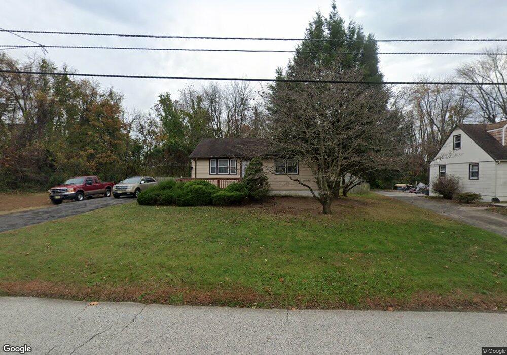
1979 Little Dr Woodbury, NJ 08096
Deptford Township NeighborhoodEstimated Value: $266,000 - $300,000
--
Bed
--
Bath
1,088
Sq Ft
$264/Sq Ft
Est. Value
About This Home
This home is located at 1979 Little Dr, Woodbury, NJ 08096 and is currently estimated at $287,511, approximately $264 per square foot. 1979 Little Dr is a home located in Gloucester County with nearby schools including Deptford Township High School and St. Teresa Regional School.
Ownership History
Date
Name
Owned For
Owner Type
Purchase Details
Closed on
May 26, 2000
Sold by
Szurek Linda D
Bought by
Rivas Eddie A and Rivas Stephanie L
Current Estimated Value
Home Financials for this Owner
Home Financials are based on the most recent Mortgage that was taken out on this home.
Original Mortgage
$93,900
Outstanding Balance
$32,867
Interest Rate
8.12%
Mortgage Type
FHA
Estimated Equity
$254,644
Purchase Details
Closed on
Jul 8, 1998
Sold by
Szurek Linda D
Bought by
Pikul Betty and Szurek Linda D
Purchase Details
Closed on
Jun 2, 1998
Sold by
Pikul Betty and Szurek Linda D
Bought by
Szurek Linda D
Create a Home Valuation Report for This Property
The Home Valuation Report is an in-depth analysis detailing your home's value as well as a comparison with similar homes in the area
Home Values in the Area
Average Home Value in this Area
Purchase History
| Date | Buyer | Sale Price | Title Company |
|---|---|---|---|
| Rivas Eddie A | $94,000 | -- | |
| Pikul Betty | -- | -- | |
| Szurek Linda D | -- | -- |
Source: Public Records
Mortgage History
| Date | Status | Borrower | Loan Amount |
|---|---|---|---|
| Open | Rivas Eddie A | $93,900 |
Source: Public Records
Tax History Compared to Growth
Tax History
| Year | Tax Paid | Tax Assessment Tax Assessment Total Assessment is a certain percentage of the fair market value that is determined by local assessors to be the total taxable value of land and additions on the property. | Land | Improvement |
|---|---|---|---|---|
| 2025 | $5,747 | $160,300 | $36,400 | $123,900 |
| 2024 | $5,562 | $160,300 | $36,400 | $123,900 |
| 2023 | $5,562 | $160,300 | $36,400 | $123,900 |
| 2022 | $5,522 | $160,300 | $36,400 | $123,900 |
| 2021 | $5,235 | $160,300 | $36,400 | $123,900 |
| 2020 | $5,381 | $160,300 | $36,400 | $123,900 |
| 2019 | $5,279 | $160,300 | $36,400 | $123,900 |
| 2018 | $5,160 | $160,300 | $36,400 | $123,900 |
| 2017 | $5,022 | $160,300 | $36,400 | $123,900 |
| 2016 | $4,920 | $160,300 | $36,400 | $123,900 |
| 2015 | $4,767 | $160,300 | $36,400 | $123,900 |
| 2014 | $4,644 | $160,300 | $36,400 | $123,900 |
Source: Public Records
Map
Nearby Homes
- 1284 Hurffville Rd
- 2029 Konrad Ave
- 1602 Almonesson Rd
- 51 Linden Dr
- 47 Jones Ave
- 240 Deer Ln
- 1905 Bellevue Ave
- 571 Almonesson Rd
- 0 Ethel Ave
- 1924 Rosemore Ave
- 9 Birch Ct
- 0 Summit Ave
- 2 Katherine Ct
- 220 W Landing Rd
- 212 Summit Ave
- 427 Fern Ave
- 200 W Landing Rd
- 1554 Good Intent Rd
- 415 Rankin Ave
- 405 Melvin Ave
- 1280 Hurffville Rd
- 1971 Little Dr
- 1978 Little Dr
- 1974 Little Dr
- 1959 Little Dr
- 1294, 1284, 1280 Hurffville Rd
- 1958 Little Dr
- 1294 Hurffville Rd
- 1947 Little Dr
- 1948 Little Dr
- 1272 Hurffville Rd
- 1937 Little Dr
- 1938 Little Dr
- 1298 Hurffville Rd
- 1960 Harris Dr
- 1264 Hurffville Rd
- 1981 Mckee Ave
- 1929 Little Dr
- 1967 Mckee Ave
- 1262 Hurffville Rd