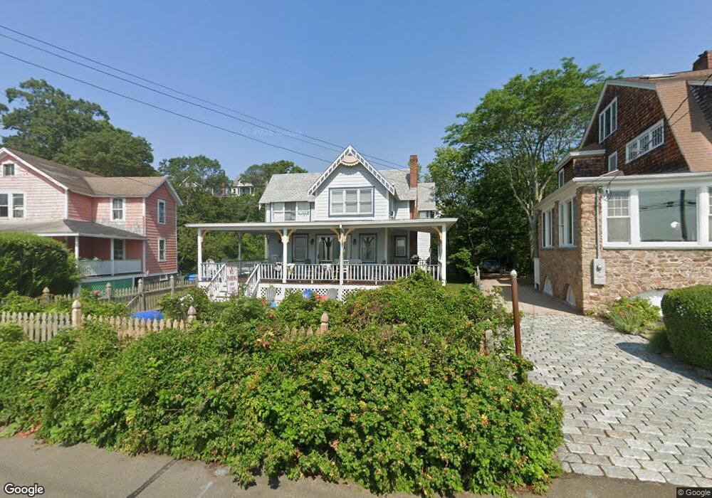
198 Clark Ave Branford, CT 06405
Estimated Value: $834,000 - $1,220,000
3
Beds
4
Baths
2,247
Sq Ft
$470/Sq Ft
Est. Value
About This Home
This home is located at 198 Clark Ave, Branford, CT 06405 and is currently estimated at $1,056,213, approximately $470 per square foot. 198 Clark Ave is a home located in New Haven County with nearby schools including Francis Walsh Intermediate School, Branford High School, and St Mary School.
Ownership History
Date
Name
Owned For
Owner Type
Purchase Details
Closed on
Dec 9, 1987
Sold by
Winograd Philip
Bought by
Kilgoree Margaret
Current Estimated Value
Home Financials for this Owner
Home Financials are based on the most recent Mortgage that was taken out on this home.
Original Mortgage
$266,000
Interest Rate
10.96%
Create a Home Valuation Report for This Property
The Home Valuation Report is an in-depth analysis detailing your home's value as well as a comparison with similar homes in the area
Home Values in the Area
Average Home Value in this Area
Purchase History
| Date | Buyer | Sale Price | Title Company |
|---|---|---|---|
| Kilgoree Margaret | $325,000 | -- |
Source: Public Records
Mortgage History
| Date | Status | Borrower | Loan Amount |
|---|---|---|---|
| Open | Kilgoree Margaret | $417,000 | |
| Closed | Kilgoree Margaret | $192,827 | |
| Closed | Kilgoree Margaret | $250,000 | |
| Closed | Kilgoree Margaret | $266,000 |
Source: Public Records
Tax History Compared to Growth
Tax History
| Year | Tax Paid | Tax Assessment Tax Assessment Total Assessment is a certain percentage of the fair market value that is determined by local assessors to be the total taxable value of land and additions on the property. | Land | Improvement |
|---|---|---|---|---|
| 2025 | $16,298 | $761,600 | $471,700 | $289,900 |
| 2024 | $15,779 | $517,700 | $374,100 | $143,600 |
| 2023 | $15,474 | $517,700 | $374,100 | $143,600 |
| 2022 | $15,246 | $517,700 | $374,100 | $143,600 |
| 2021 | $15,246 | $517,700 | $374,100 | $143,600 |
| 2020 | $14,972 | $517,700 | $374,100 | $143,600 |
| 2019 | $14,291 | $491,600 | $339,400 | $152,200 |
| 2018 | $14,079 | $491,600 | $339,400 | $152,200 |
| 2017 | $13,996 | $491,600 | $339,400 | $152,200 |
| 2016 | $13,475 | $491,600 | $339,400 | $152,200 |
| 2015 | $13,239 | $491,600 | $339,400 | $152,200 |
| 2014 | $12,719 | $484,700 | $339,400 | $145,300 |
Source: Public Records
Map
Nearby Homes
- 105 Beckett Ave
- 55 Hilton Ave
- 25 Gray Ledge Rd
- 14 Vernon St
- 86 Wheaton Rd
- 18 Spice Bush Ln
- 2 Mansfield Grove Rd Unit 266
- 2 Mansfield Grove Rd Unit 374
- 330 Short Beach Rd Unit C9
- 90 Turtle Bay Dr
- 19 Clark Ave
- 66 Turtle Bay Dr Unit 66
- 74 Turtle Bay Dr Unit 74
- 30 Silver Sands Rd Unit C-9
- 1 Mansfield Grove Rd Unit 306
- 1 Mansfield Grove Rd Unit 205
- 1 Mansfield Grove Rd Unit 206
- 102 Vista Dr
- 51 1st Ave
- 2 Jamaica Ct
- 200 Clark Ave
- 190 Clark Ave
- 186 Clark Ave
- 204 Clark Ave
- 180 Clark Ave
- 127 Highland Ave
- 121 Highland Ave
- 210 Clark Ave
- 176 Clark Ave
- 115 Highland Ave Unit 2
- 172 Clark Ave
- 39 Highland Ave
- 103 Highland Ave
- 103 Highland Aka 109 Highland Ave
- 214 Clark Ave
- 141 Highland Ave Unit 145
- 164 Clark Ave
- 158 Clark Ave
- 120 Highland Ave
- 215 Clark Ave