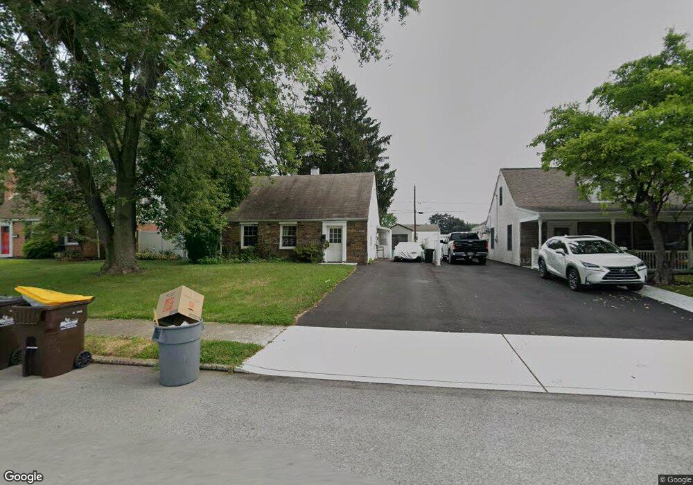
1985 Clearview Ave Norristown, PA 19403
West Norriton Township NeighborhoodEstimated Value: $280,000 - $340,000
2
Beds
1
Bath
1,096
Sq Ft
$289/Sq Ft
Est. Value
About This Home
This home is located at 1985 Clearview Ave, Norristown, PA 19403 and is currently estimated at $316,226, approximately $288 per square foot. 1985 Clearview Ave is a home located in Montgomery County with nearby schools including Charles Blockson Middle School, Paul V Fly Elementary School, and East Norriton Middle School.
Ownership History
Date
Name
Owned For
Owner Type
Purchase Details
Closed on
Apr 15, 2008
Sold by
Hagen Susan P and Potts Lois D
Bought by
House Kimberly A
Current Estimated Value
Home Financials for this Owner
Home Financials are based on the most recent Mortgage that was taken out on this home.
Original Mortgage
$145,800
Outstanding Balance
$92,455
Interest Rate
5.99%
Estimated Equity
$223,771
Create a Home Valuation Report for This Property
The Home Valuation Report is an in-depth analysis detailing your home's value as well as a comparison with similar homes in the area
Home Values in the Area
Average Home Value in this Area
Purchase History
| Date | Buyer | Sale Price | Title Company |
|---|---|---|---|
| House Kimberly A | $162,000 | None Available |
Source: Public Records
Mortgage History
| Date | Status | Borrower | Loan Amount |
|---|---|---|---|
| Open | House Kimberly A | $145,800 |
Source: Public Records
Tax History Compared to Growth
Tax History
| Year | Tax Paid | Tax Assessment Tax Assessment Total Assessment is a certain percentage of the fair market value that is determined by local assessors to be the total taxable value of land and additions on the property. | Land | Improvement |
|---|---|---|---|---|
| 2025 | $4,488 | $91,860 | $41,140 | $50,720 |
| 2024 | $4,488 | $91,860 | $41,140 | $50,720 |
| 2023 | $4,437 | $91,860 | $41,140 | $50,720 |
| 2022 | $4,409 | $91,860 | $41,140 | $50,720 |
| 2021 | $4,382 | $91,860 | $41,140 | $50,720 |
| 2020 | $4,251 | $91,860 | $41,140 | $50,720 |
| 2019 | $4,156 | $91,860 | $41,140 | $50,720 |
| 2018 | $3,391 | $91,860 | $41,140 | $50,720 |
| 2017 | $3,924 | $91,860 | $41,140 | $50,720 |
| 2016 | $3,888 | $91,860 | $41,140 | $50,720 |
| 2015 | $3,602 | $91,860 | $41,140 | $50,720 |
| 2014 | $3,602 | $91,860 | $41,140 | $50,720 |
Source: Public Records
Map
Nearby Homes
- 2025 Sterigere St
- 709 Middleton Place
- 1104 Arden Dr Unit METHACTON SCHOOL
- 37 Burnside Ave
- 1749 W Marshall St
- 166 Hoover Ave
- 214 Oxford Cir
- 145 Colonial Ave
- 1635 W Marshall W Marshall St
- 1924 Juniata Rd
- 612 Glen Ln Unit 56A
- 1613 Countryside Ln
- 1506 W Marshall St
- 1448 W James St
- 1633 Williams Way
- 805 Stonybrook Dr
- 1219 Stonybrook Dr Unit 1219
- 89 Centre Ave
- 0 Centre Unit 430 PAMC2099854
- 533 Brandon Rd
- 1981 Clearview Ave
- 1989 Clearview Ave
- 1977 Clearview Ave
- 1993 Clearview Ave
- 1916 Davis Dr
- 1986 Clearview Ave
- 2000 Davis Dr
- 1973 Clearview Ave
- 1997 Clearview Ave
- 1980 Clearview Ave
- 1912 Davis Dr
- 1990 Clearview Ave
- 1976 Clearview Ave
- 1969 Clearview Ave
- 2001 Clearview Ave
- 2004 Davis Dr
- 45 Penfield Ave
- 1972 Clearview Ave
- 1908 Davis Dr
- 1965 Clearview Ave