1985 Neal Ave Delano, MN 55328
Estimated Value: $502,022 - $868,000
4
Beds
1
Bath
1,739
Sq Ft
$383/Sq Ft
Est. Value
About This Home
This home is located at 1985 Neal Ave, Delano, MN 55328 and is currently estimated at $666,256, approximately $383 per square foot. 1985 Neal Ave is a home located in Carver County with nearby schools including Watertown-Mayer Elementary School, Watertown-Mayer Middle School, and Watertown Mayer High School.
Ownership History
Date
Name
Owned For
Owner Type
Purchase Details
Closed on
Mar 26, 2021
Sold by
Grommersch Paula F and Paula F Grommersch Trust
Bought by
David S Grommersch Trust
Current Estimated Value
Home Financials for this Owner
Home Financials are based on the most recent Mortgage that was taken out on this home.
Original Mortgage
$371,500
Interest Rate
2.8%
Mortgage Type
New Conventional
Purchase Details
Closed on
Nov 27, 2012
Sold by
Grommersch David S and Grommersch Paula F
Bought by
Grommersch Paula F and Grommersch David S
Create a Home Valuation Report for This Property
The Home Valuation Report is an in-depth analysis detailing your home's value as well as a comparison with similar homes in the area
Home Values in the Area
Average Home Value in this Area
Purchase History
| Date | Buyer | Sale Price | Title Company |
|---|---|---|---|
| David S Grommersch Trust | -- | None Available | |
| Grommersch Paula F | -- | None Available |
Source: Public Records
Mortgage History
| Date | Status | Borrower | Loan Amount |
|---|---|---|---|
| Closed | David S Grommersch Trust | $371,500 |
Source: Public Records
Tax History Compared to Growth
Tax History
| Year | Tax Paid | Tax Assessment Tax Assessment Total Assessment is a certain percentage of the fair market value that is determined by local assessors to be the total taxable value of land and additions on the property. | Land | Improvement |
|---|---|---|---|---|
| 2025 | $3,534 | $430,600 | $198,000 | $232,600 |
| 2024 | $3,654 | $402,000 | $193,500 | $208,500 |
| 2023 | $3,456 | $411,500 | $193,500 | $218,000 |
| 2022 | $3,252 | $384,500 | $190,600 | $193,900 |
| 2021 | $3,330 | $306,300 | $147,200 | $159,100 |
| 2020 | $3,310 | $306,300 | $147,200 | $159,100 |
| 2019 | $3,098 | $284,300 | $134,200 | $150,100 |
| 2018 | $3,104 | $284,300 | $134,200 | $150,100 |
| 2017 | $2,812 | $267,900 | $126,000 | $141,900 |
| 2016 | $2,886 | $226,300 | $0 | $0 |
| 2015 | $2,548 | $213,000 | $0 | $0 |
| 2014 | $2,548 | $186,400 | $0 | $0 |
Source: Public Records
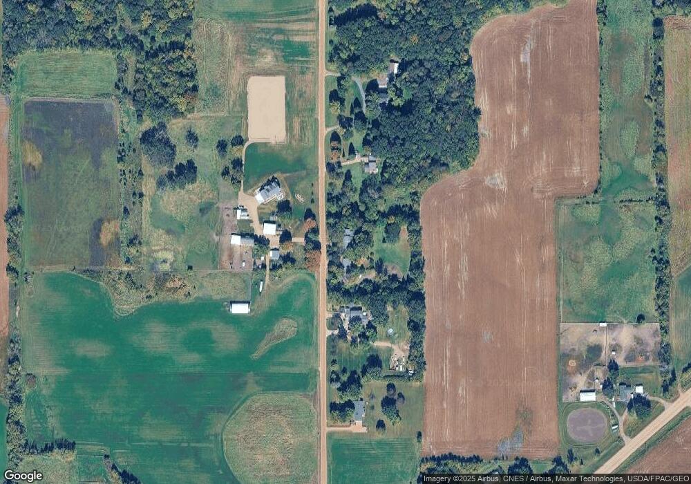
Map
Nearby Homes
- 1630 Oxford Ave
- 11540 Eckert Ave SE
- 2325 Kristi Ln
- 600 Paul Ave
- 4146 115th St SE
- 990 Bur Oak Ln
- 823 Poplar Ln
- 570 Linden Ct
- 545 Linden Ct
- 1286 Balsam Ln
- 12120 County Road 24
- 648 Hawthorne Ln
- 678 Hawthorne Ln
- The Calhoun Plan at Forest Hills
- The Rockwell Plan at Forest Hills
- The Stratford Plan at Forest Hills
- The Springfield Plan at Forest Hills
- The Wentworth Plan at Forest Hills
- The Arlington Plan at Forest Hills
- The Linden II Plan at Forest Hills
- 2025 Neal Ave
- 1955 Neal Ave
- 1980 Neal Ave
- 1885 Neal Ave
- 2075 Neal Ave
- XXXX Neal Ave
- 10950 County Road 20
- 2165 Neal Ave
- 10560 County Road 20
- XXXX Cr 20
- 10680 County Road 20
- 1825 Neal Ave
- 10880 County Road 20
- 1880 Neal Ave
- 10950 County Road 20
- 10950 County Road 20
- 10950 County Road 20
- 10625 County Road 20
- 1780 Neal Ave
- 10825 County Road 20