19865 Elma Ln Council Bluffs, IA 51503
Estimated Value: $408,000 - $458,243
3
Beds
5
Baths
2,268
Sq Ft
$189/Sq Ft
Est. Value
About This Home
This home is located at 19865 Elma Ln, Council Bluffs, IA 51503 and is currently estimated at $428,811, approximately $189 per square foot. 19865 Elma Ln is a home located in Pottawattamie County with nearby schools including College View Elementary School, Crescent Elementary School, and Gerald W. Kirn Middle School.
Ownership History
Date
Name
Owned For
Owner Type
Purchase Details
Closed on
Apr 28, 2005
Sold by
Gorman Steven F and Gorman Christine M
Bought by
Marson David E and Marson Donna F
Current Estimated Value
Home Financials for this Owner
Home Financials are based on the most recent Mortgage that was taken out on this home.
Original Mortgage
$230,000
Outstanding Balance
$121,537
Interest Rate
6.05%
Mortgage Type
Future Advance Clause Open End Mortgage
Estimated Equity
$307,274
Create a Home Valuation Report for This Property
The Home Valuation Report is an in-depth analysis detailing your home's value as well as a comparison with similar homes in the area
Home Values in the Area
Average Home Value in this Area
Purchase History
| Date | Buyer | Sale Price | Title Company |
|---|---|---|---|
| Marson David E | $230,000 | None Available |
Source: Public Records
Mortgage History
| Date | Status | Borrower | Loan Amount |
|---|---|---|---|
| Open | Marson David E | $230,000 |
Source: Public Records
Tax History Compared to Growth
Tax History
| Year | Tax Paid | Tax Assessment Tax Assessment Total Assessment is a certain percentage of the fair market value that is determined by local assessors to be the total taxable value of land and additions on the property. | Land | Improvement |
|---|---|---|---|---|
| 2025 | $4,260 | $379,300 | $90,700 | $288,600 |
| 2024 | $4,260 | $342,300 | $78,800 | $263,500 |
| 2023 | $4,312 | $342,300 | $78,800 | $263,500 |
| 2022 | $4,242 | $275,500 | $74,800 | $200,700 |
| 2021 | $6,549 | $275,500 | $74,800 | $200,700 |
| 2020 | $3,736 | $275,500 | $74,800 | $200,700 |
| 2019 | $3,876 | $230,850 | $47,709 | $183,141 |
| 2018 | $3,808 | $230,850 | $47,709 | $183,141 |
| 2017 | $3,892 | $230,850 | $47,709 | $183,141 |
| 2015 | $3,816 | $230,850 | $47,709 | $183,141 |
| 2014 | $3,822 | $230,850 | $47,709 | $183,141 |
Source: Public Records
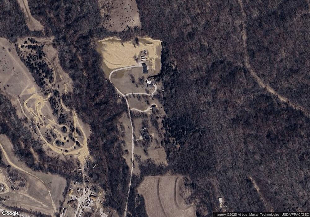
Map
Nearby Homes
- 1778 Jennings Ave
- 605 Ridge Rd N
- 71.95ACRES Honeysuckle Rd
- 61.50ACRES Honeysuckle Rd
- 18843 Evergreen Ln
- 1.12 AC Railroad Ave & Hwy 6
- 944 Mckenzie Ave
- 19404 Mudhollow Rd
- 627 Spencer Ave
- 500 Spencer Ave
- 22143 Hackberry Rd
- 407 Spencer Ave
- 401 Spencer Ave
- 638 Simms Ave
- 116 Spencer Ave
- 18267 Northline Dr
- 440 Simms Ave
- 162 N Linden Ave
- 22395 205th St
- 155 S Linden Ave
- 19925 Elma Ln
- 19843 Elma Ln
- 19987 Elma Ln
- 19980 Elma Ln
- 20418 Husker Ln
- 20394 Husker Ln
- 20463 Husker Ln
- 20397 Husker Ln
- 19563 Garner Ave
- 19525 Garner Ave
- 20772 Husker Ln
- 19515 Garner Ave
- 19503 Garner Ave
- 19562 Garner Ave
- 19586 Garner Ave
- 19544 Garner Ave
- 19598 Garner Ave
- 19497 Garner Ave
- 19602 Garner Ave
- 19592 Garner Ave