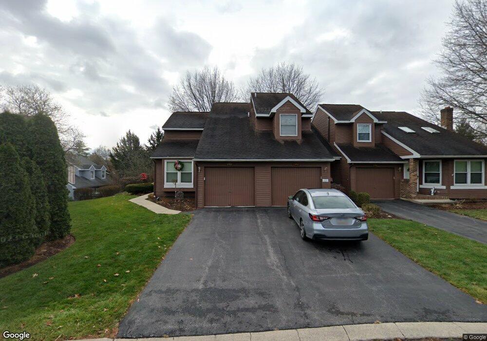
1988 Harvest Cir State College, PA 16803
Estimated Value: $280,629 - $300,000
3
Beds
3
Baths
1,309
Sq Ft
$222/Sq Ft
Est. Value
About This Home
This home is located at 1988 Harvest Cir, State College, PA 16803 and is currently estimated at $291,157, approximately $222 per square foot. 1988 Harvest Cir is a home located in Centre County with nearby schools including Radio Park Elementary School, Park Forest Middle School, and State College Area High School.
Ownership History
Date
Name
Owned For
Owner Type
Purchase Details
Closed on
Mar 4, 2013
Sold by
Lewis Carol
Bought by
Saxton Lynn E
Current Estimated Value
Home Financials for this Owner
Home Financials are based on the most recent Mortgage that was taken out on this home.
Original Mortgage
$149,360
Outstanding Balance
$105,495
Interest Rate
3.56%
Mortgage Type
New Conventional
Estimated Equity
$185,662
Purchase Details
Closed on
Apr 24, 1998
Bought by
Lewis Carol and Lewis Lewis
Create a Home Valuation Report for This Property
The Home Valuation Report is an in-depth analysis detailing your home's value as well as a comparison with similar homes in the area
Home Values in the Area
Average Home Value in this Area
Purchase History
| Date | Buyer | Sale Price | Title Company |
|---|---|---|---|
| Saxton Lynn E | $186,700 | None Available | |
| Lewis Carol | $123,000 | -- |
Source: Public Records
Mortgage History
| Date | Status | Borrower | Loan Amount |
|---|---|---|---|
| Open | Saxton Lynn E | $149,360 |
Source: Public Records
Tax History Compared to Growth
Tax History
| Year | Tax Paid | Tax Assessment Tax Assessment Total Assessment is a certain percentage of the fair market value that is determined by local assessors to be the total taxable value of land and additions on the property. | Land | Improvement |
|---|---|---|---|---|
| 2025 | $3,015 | $48,675 | $6,000 | $42,675 |
| 2024 | $2,819 | $48,675 | $6,000 | $42,675 |
| 2023 | $2,819 | $48,675 | $6,000 | $42,675 |
| 2022 | $2,743 | $48,675 | $6,000 | $42,675 |
| 2021 | $2,743 | $48,675 | $6,000 | $42,675 |
| 2020 | $2,743 | $48,675 | $6,000 | $42,675 |
| 2019 | $2,257 | $48,675 | $6,000 | $42,675 |
| 2018 | $2,648 | $48,675 | $6,000 | $42,675 |
| 2017 | $2,616 | $48,675 | $6,000 | $42,675 |
| 2016 | -- | $48,675 | $6,000 | $42,675 |
| 2015 | -- | $48,675 | $6,000 | $42,675 |
| 2014 | -- | $48,675 | $6,000 | $42,675 |
Source: Public Records
Map
Nearby Homes
- 1765 Cambridge Dr
- 2251 Red Oak Ln
- 2292 Oak Leaf Dr
- 1635 Princeton Dr
- 1111-C W Aaron Dr
- 169 Sandy Ridge Rd
- 291 Oakley Dr
- 479 Westgate Dr
- 505 Hillcrest Ave
- 465 Hillcrest Ave
- 715 W Park Ave
- 1383 N Allen St
- 936 Taylor St
- 835 Galen Dr Unit 835
- 833 Galen Dr
- 861 Willard St
- 1832 Waddle Rd
- 1836 Waddle Rd
- 439 W Park Ave
- 253 Bolton Ave
- 1994 Harvest Cir
- 1986 Harvest Cir
- 1984 Harvest Cir Unit 25
- 1936 Harvest Cir
- 1982 Harvest Cir
- 1934 Harvest Cir Unit 61
- 1989 Harvest Cir Unit 20
- 1987 Harvest Cir Unit 19
- 1985 Harvest Cir Unit 18
- 1978 Harvest Cir
- 1983 Harvest Cir
- 1976 Harvest Cir
- 1942 Harvest Cir
- 1974 Harvest Cir Unit 29
- 1946 Harvest Cir Unit 55
- 1972 Harvest Cir Unit 30
- 1948 Harvest Cir
- 1979 Harvest Cir
- 1977 Harvest Cir Unit 15
- 1943 Harvest Cir Unit 60