Estimated Value: $396,000 - $450,000
3
Beds
3
Baths
1,748
Sq Ft
$248/Sq Ft
Est. Value
About This Home
This home is located at 199 Birchwood Rd, Coram, NY 11727 and is currently estimated at $434,047, approximately $248 per square foot. 199 Birchwood Rd is a home located in Suffolk County with nearby schools including Longwood Middle School, Longwood Junior High School, and Longwood Senior High School.
Ownership History
Date
Name
Owned For
Owner Type
Purchase Details
Closed on
Jan 23, 2023
Sold by
Demott Denise
Bought by
Denise Demott Ret and Demott
Current Estimated Value
Purchase Details
Closed on
Oct 21, 2020
Sold by
Ohagan Daniel and Ohagan Danielle
Bought by
Demott Denise
Purchase Details
Closed on
Aug 25, 2016
Sold by
Perlman Ronnie and Perlman Leonard
Bought by
Ohagan Daniel and Hagan Danielle O
Home Financials for this Owner
Home Financials are based on the most recent Mortgage that was taken out on this home.
Original Mortgage
$232,391
Interest Rate
3.48%
Mortgage Type
VA
Purchase Details
Closed on
Oct 31, 1997
Sold by
Perlman Leonard and Perlman Ronnie
Bought by
Perlman Ronnie and Perlman Leonard
Purchase Details
Closed on
Dec 1, 1995
Sold by
Hall Steven E and Hall Steven
Bought by
Perlman Leonard and Perlman Ronnie
Create a Home Valuation Report for This Property
The Home Valuation Report is an in-depth analysis detailing your home's value as well as a comparison with similar homes in the area
Home Values in the Area
Average Home Value in this Area
Purchase History
| Date | Buyer | Sale Price | Title Company |
|---|---|---|---|
| Denise Demott Ret | -- | None Available | |
| Demott Denise | $322,500 | None Available | |
| Ohagan Daniel | $227,500 | Coach Title Insurance Agency | |
| Perlman Ronnie | -- | -- | |
| Perlman Leonard | $111,000 | Commonwealth Land Title Ins |
Source: Public Records
Mortgage History
| Date | Status | Borrower | Loan Amount |
|---|---|---|---|
| Previous Owner | Ohagan Daniel | $232,391 |
Source: Public Records
Tax History Compared to Growth
Tax History
| Year | Tax Paid | Tax Assessment Tax Assessment Total Assessment is a certain percentage of the fair market value that is determined by local assessors to be the total taxable value of land and additions on the property. | Land | Improvement |
|---|---|---|---|---|
| 2024 | $5,225 | $1,186 | $410 | $776 |
| 2023 | $5,225 | $1,186 | $410 | $776 |
| 2022 | $4,503 | $1,186 | $410 | $776 |
| 2021 | $4,503 | $1,186 | $410 | $776 |
| 2020 | $4,127 | $1,186 | $410 | $776 |
| 2019 | $4,127 | $1,186 | $410 | $776 |
| 2018 | -- | $1,186 | $410 | $776 |
| 2017 | $4,625 | $1,186 | $410 | $776 |
| 2016 | $4,568 | $1,186 | $410 | $776 |
| 2015 | -- | $1,186 | $410 | $776 |
| 2014 | -- | $1,508 | $410 | $1,098 |
Source: Public Records
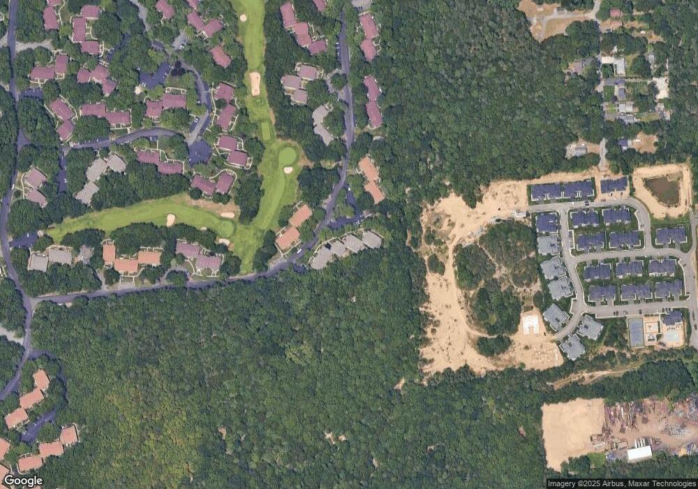
Map
Nearby Homes
- 217 Birchwood Rd
- 154 Birchwood Rd
- 150 Birchwood Rd
- 37 Willow Cir Unit 37
- 215 Birchwood Rd
- 262 Brettonwoods Dr
- 92 Birchwood Rd
- 837 Skyline Dr Unit 837
- 99 Birchwood Rd
- 269 Brettonwoods Dr
- 881 Skyline Dr Unit 881
- 312 Clubhouse Ct
- 77 Birchwood Rd
- 431 Clubhouse Ct
- 40 Pauls Path
- 1016 Skyline Dr
- The Augusta Plan at Willow Wood at Overton Preserve
- The Bedford Plan at Willow Wood at Overton Preserve
- The Camden Plan at Willow Wood at Overton Preserve
- The Erie Plan at Willow Wood at Overton Preserve
- 199 Birchwood Rd Unit 623
- 199 Birchwood Rd Unit 263
- 200 Birchwood Rd
- 204 Birchwood Rd
- 198 Birchwood Rd Unit 622
- 203 Birchwood Rd Unit 203
- 203 Birchwood Rd Unit 627
- 201 Birchwood Rd Unit 201
- 194 Birchwood Rd
- 194 Birchwood Rd Unit 618
- 194 Birchwood Rd Unit 194
- 205 Birchwood Rd
- 208 Birchwood Rd
- 210 Birchwood Rd
- 212 Birchwood Rd
- 212 Birchwood Rd Unit 656
- 189 Birchwood Rd
- 213 Birchwood Rd
- 185 Birchwood Rd Unit 185
- 168 Birchwood Rd Unit 652