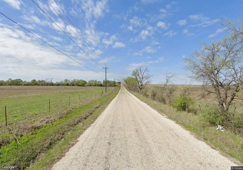
199 County Road 2937 Unit 4583 Decatur, TX 76234
Estimated Value: $459,000 - $644,111
--
Bed
2
Baths
2,495
Sq Ft
$212/Sq Ft
Est. Value
About This Home
This home is located at 199 County Road 2937 Unit 4583, Decatur, TX 76234 and is currently estimated at $529,704, approximately $212 per square foot. 199 County Road 2937 Unit 4583 is a home located in Wise County with nearby schools including Boyd Elementary School, Boyd Middle School, and Boyd High School.
Ownership History
Date
Name
Owned For
Owner Type
Purchase Details
Closed on
Oct 6, 2014
Sold by
Bost Richard and Bost Linda
Bought by
Walker Thomas and Walker Robbin
Current Estimated Value
Purchase Details
Closed on
Oct 23, 2012
Sold by
Bost Richard J and Brinsfield Jean Lean
Bought by
Bost Richard L
Purchase Details
Closed on
Mar 13, 1997
Bought by
Bost Richard L and Bost Linda
Purchase Details
Closed on
Jan 1, 1901
Bought by
Bost Richard L and Bost Linda
Create a Home Valuation Report for This Property
The Home Valuation Report is an in-depth analysis detailing your home's value as well as a comparison with similar homes in the area
Home Values in the Area
Average Home Value in this Area
Purchase History
| Date | Buyer | Sale Price | Title Company |
|---|---|---|---|
| Walker Thomas | -- | None Available | |
| Bost Richard L | -- | None Available | |
| Bost Richard L | -- | -- | |
| Bost Richard L | -- | -- |
Source: Public Records
Tax History Compared to Growth
Tax History
| Year | Tax Paid | Tax Assessment Tax Assessment Total Assessment is a certain percentage of the fair market value that is determined by local assessors to be the total taxable value of land and additions on the property. | Land | Improvement |
|---|---|---|---|---|
| 2025 | $1,302 | $335,149 | -- | -- |
| 2024 | $1,302 | $304,667 | $0 | $0 |
| 2023 | $3,309 | $468,405 | $0 | $0 |
| 2022 | $3,742 | $442,575 | $0 | $0 |
| 2021 | $3,642 | $373,830 | $146,260 | $227,570 |
| 2020 | $3,321 | $322,670 | $121,110 | $201,560 |
| 2019 | $3,479 | $319,080 | $121,110 | $197,970 |
| 2018 | $3,591 | $303,750 | $107,640 | $196,110 |
| 2017 | $3,329 | $269,700 | $87,430 | $182,270 |
| 2016 | $2,914 | $233,540 | $73,960 | $159,580 |
| 2015 | -- | $222,250 | $60,680 | $161,570 |
| 2014 | -- | $156,540 | $2,930 | $153,610 |
Source: Public Records
Map
Nearby Homes
- 405 Edgewood Terrace
- 420 S Evans St
- 424 Green Meadow Dr
- 207 W Morton Ave
- tbd S Oak St
- 3397 2048 Hwy
- 201 Cemetery Rd
- 213 S Allen St
- 205 S Allen St
- 213 S Hitt St
- TBD S Atwood
- 18 Acres Highway 114 Rd
- 100 N Agnew St
- 110 Gerber Ln
- 139 Gerber Ln
- 198 Bay Meadows Ln
- 213 S Atwood St
- 111 Irish Ivy Ct
- 525 Highway 114 Rd
- AMBER Plan at Springhill South
- 476 S Ewing St
- 428 S Ewing St
- 461 S Ewing St
- 453 S Ewing St
- 477 S Ewing St
- 433 S Ewing St
- 489 S Ewing St
- 499 S Ewing St
- 429 S Ewing St
- 409 Edgewood Terrace
- 401 Edgewood Terrace
- Lot 3 S Ewing St
- Lot 2 S Ewing St
- TBD S Ewing St
- 421 S Ewing St
- 417 Edgewood Terrace
- 314 Knox Ave
- 400 S Ewing St
- 308 Edgewood Terrace
- 400 Block of South Oak St
