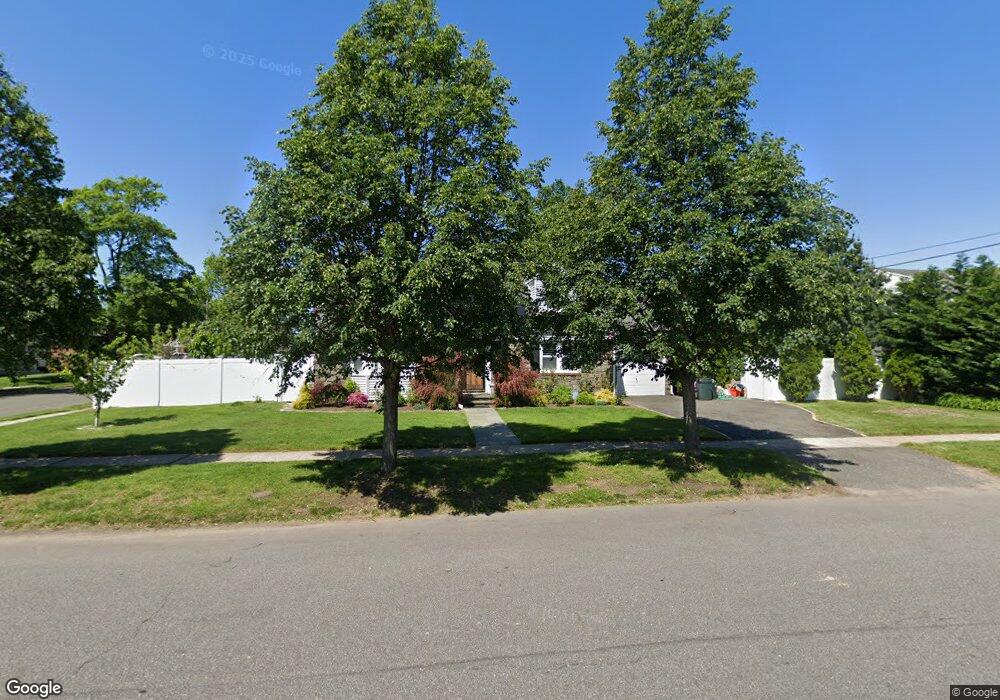
199 Mayfair Ave West Hempstead, NY 11552
Estimated Value: $747,000 - $770,106
--
Bed
2
Baths
1,420
Sq Ft
$534/Sq Ft
Est. Value
About This Home
This home is located at 199 Mayfair Ave, West Hempstead, NY 11552 and is currently estimated at $758,553, approximately $534 per square foot. 199 Mayfair Ave is a home located in Nassau County with nearby schools including Chestnut Street School, West Hempstead Secondary School, and The Waldorf School of Garden City.
Ownership History
Date
Name
Owned For
Owner Type
Purchase Details
Closed on
Mar 23, 2021
Sold by
Chiara Mary Josephine
Bought by
Minossyan Gurgen
Current Estimated Value
Home Financials for this Owner
Home Financials are based on the most recent Mortgage that was taken out on this home.
Original Mortgage
$480,000
Outstanding Balance
$432,442
Interest Rate
3%
Mortgage Type
New Conventional
Estimated Equity
$326,111
Purchase Details
Closed on
Sep 28, 2006
Sold by
Newmark Scott
Bought by
Chiara Mary
Purchase Details
Closed on
May 18, 2001
Sold by
Rosenblatt Neal A
Bought by
Newmark Scott A
Create a Home Valuation Report for This Property
The Home Valuation Report is an in-depth analysis detailing your home's value as well as a comparison with similar homes in the area
Home Values in the Area
Average Home Value in this Area
Purchase History
| Date | Buyer | Sale Price | Title Company |
|---|---|---|---|
| Minossyan Gurgen | $600,000 | None Available | |
| Chiara Mary | $515,000 | -- | |
| Newmark Scott A | $335,000 | James Hausman |
Source: Public Records
Mortgage History
| Date | Status | Borrower | Loan Amount |
|---|---|---|---|
| Open | Minossyan Gurgen | $480,000 |
Source: Public Records
Tax History Compared to Growth
Tax History
| Year | Tax Paid | Tax Assessment Tax Assessment Total Assessment is a certain percentage of the fair market value that is determined by local assessors to be the total taxable value of land and additions on the property. | Land | Improvement |
|---|---|---|---|---|
| 2025 | $14,739 | $528 | $315 | $213 |
| 2024 | $4,300 | $480 | $292 | $188 |
| 2023 | $13,293 | $511 | $311 | $200 |
| 2022 | $13,293 | $517 | $315 | $202 |
| 2021 | $17,834 | $538 | $328 | $210 |
| 2020 | $14,647 | $774 | $509 | $265 |
| 2019 | $5,467 | $971 | $639 | $332 |
| 2018 | $11,325 | $971 | $0 | $0 |
| 2017 | $10,227 | $971 | $639 | $332 |
| 2016 | $15,076 | $971 | $639 | $332 |
| 2015 | $4,522 | $971 | $639 | $332 |
| 2014 | $4,522 | $971 | $639 | $332 |
| 2013 | $4,234 | $971 | $639 | $332 |
Source: Public Records
Map
Nearby Homes
- 218 Concord Ave
- 211 Garden Place
- 221 Garden Place
- 226 Concord Ave
- 200 Mayfair Ave
- 191 Mayfair Ave
- 194 Mayfair Ave
- 206 Mayfair Ave
- 227 Garden Place
- 221 Concord Ave
- 199 Garden Place Unit HEMP
- 227 Concord Ave
- 234 Concord Ave
- 157 Garden Place
- 235 Garden Place
- 210 Garden Place
- 220 Garden Place
- 163 Garden Place
- 173 Mayfair Ave
- 180 Mayfair Ave