1990 Newtown Pike Georgetown, KY 40324
Southeast Scott County NeighborhoodEstimated Value: $975,000 - $2,596,000
4
Beds
4
Baths
4,855
Sq Ft
$316/Sq Ft
Est. Value
About This Home
This home is located at 1990 Newtown Pike, Georgetown, KY 40324 and is currently estimated at $1,534,208, approximately $316 per square foot. 1990 Newtown Pike is a home located in Scott County with nearby schools including Creekside Elementary School, Eastern Elementary School, and Scott County Middle School.
Ownership History
Date
Name
Owned For
Owner Type
Purchase Details
Closed on
Dec 3, 2007
Sold by
Brotherton Roderick L and Brotherton Constance B
Bought by
Needham Phillip and Needham Judith
Current Estimated Value
Home Financials for this Owner
Home Financials are based on the most recent Mortgage that was taken out on this home.
Original Mortgage
$846,648
Outstanding Balance
$533,672
Interest Rate
6.22%
Mortgage Type
Unknown
Estimated Equity
$1,000,536
Create a Home Valuation Report for This Property
The Home Valuation Report is an in-depth analysis detailing your home's value as well as a comparison with similar homes in the area
Home Values in the Area
Average Home Value in this Area
Purchase History
| Date | Buyer | Sale Price | Title Company |
|---|---|---|---|
| Needham Phillip | $1,250,000 | None Available |
Source: Public Records
Mortgage History
| Date | Status | Borrower | Loan Amount |
|---|---|---|---|
| Open | Needham Phillip | $846,648 |
Source: Public Records
Tax History Compared to Growth
Tax History
| Year | Tax Paid | Tax Assessment Tax Assessment Total Assessment is a certain percentage of the fair market value that is determined by local assessors to be the total taxable value of land and additions on the property. | Land | Improvement |
|---|---|---|---|---|
| 2024 | $4,584 | $803,944 | $0 | $0 |
| 2023 | $4,622 | $556,072 | $5,492 | $550,580 |
| 2022 | $4,377 | $555,249 | $4,669 | $550,580 |
| 2021 | $4,514 | $555,249 | $555,249 | $0 |
| 2020 | $4,429 | $554,816 | $4,236 | $550,580 |
| 2019 | $4,499 | $554,816 | $0 | $0 |
| 2018 | $4,488 | $554,816 | $0 | $0 |
| 2017 | $4,510 | $554,816 | $0 | $0 |
| 2016 | $4,152 | $552,550 | $0 | $0 |
| 2015 | $4,126 | $515,650 | $0 | $0 |
| 2014 | $3,947 | $516,551 | $0 | $0 |
| 2011 | $4,014 | $552,110 | $0 | $0 |
Source: Public Records
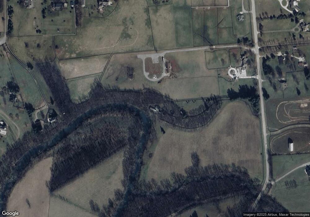
Map
Nearby Homes
- 102 Pemberley Cove Ln
- 256 Carrick Pike
- 105 Pemberley Cove Ln
- 100 Ridgeview Ln
- 560 Crumbaugh Rd
- 110 Pemberley Cove Ln
- 136 Rocky Creek Rd
- 203 Whitman Way
- 103 Rocky Creek Rd
- 116 Whitman Way Unit 7
- 210 Timberwood Trace
- 178 Watercrest Way
- 164 Watercrest Way
- 166 Watercrest Way
- 170 Watercrest Way
- 172 Watercrest Way
- 103 Deerfield Ln
- 183 Watercrest Way
- 177 Watercrest Way
- 186 Watercrest Way
- 5473 Georgetown Stone
- 1996 Newtown Pike
- 101 Apple Creek Ln
- 2018 Newtown Pike
- 4155 Paris Pike
- 4155 Paris Pike
- 1945 Newtown Pike
- 1808 Newtown Pike
- 1808 Newtown Pike
- 2003 Newtown Pike
- 2003 Newtown Pike
- 109 Apple Creek Ln
- 4053 Paris Pike
- 4053 Paris Pike
- 2022 Newtown Pike
- 117 Apple Creek Ln
- 104 Merlot Ct
- 102 Merlot Ct
- 100 Merlot Ct
- 4 Apple Creek Ln