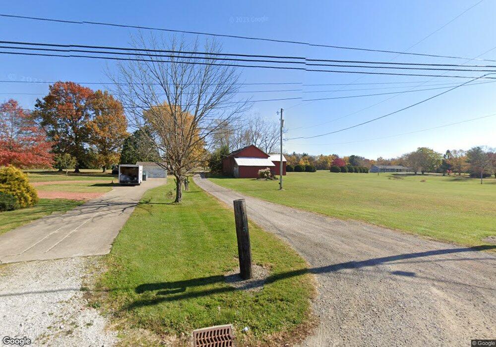
1991 Marks Rd Valley City, OH 44280
Estimated Value: $372,000 - $455,000
4
Beds
2
Baths
2,052
Sq Ft
$204/Sq Ft
Est. Value
About This Home
This home is located at 1991 Marks Rd, Valley City, OH 44280 and is currently estimated at $417,792, approximately $203 per square foot. 1991 Marks Rd is a home located in Medina County with nearby schools including Hickory Ridge Elementary School, Willets Middle School, and Brunswick High School.
Ownership History
Date
Name
Owned For
Owner Type
Purchase Details
Closed on
Jul 3, 2025
Sold by
Campbell R Dewayne R and Campbell Robert D
Bought by
Campbell Preservation Trust and Kash
Current Estimated Value
Purchase Details
Closed on
Jan 26, 1999
Sold by
Dewayne Campbell R and Campbell Victoria L
Bought by
Campbell R Dewayne and Campbell Victoria L
Home Financials for this Owner
Home Financials are based on the most recent Mortgage that was taken out on this home.
Original Mortgage
$153,600
Interest Rate
6.88%
Create a Home Valuation Report for This Property
The Home Valuation Report is an in-depth analysis detailing your home's value as well as a comparison with similar homes in the area
Home Values in the Area
Average Home Value in this Area
Purchase History
| Date | Buyer | Sale Price | Title Company |
|---|---|---|---|
| Campbell Preservation Trust | -- | None Listed On Document | |
| Campbell R Dewayne | -- | -- |
Source: Public Records
Mortgage History
| Date | Status | Borrower | Loan Amount |
|---|---|---|---|
| Previous Owner | Campbell R Dewayne | $153,600 |
Source: Public Records
Tax History Compared to Growth
Tax History
| Year | Tax Paid | Tax Assessment Tax Assessment Total Assessment is a certain percentage of the fair market value that is determined by local assessors to be the total taxable value of land and additions on the property. | Land | Improvement |
|---|---|---|---|---|
| 2024 | $5,452 | $96,120 | $41,740 | $54,380 |
| 2023 | $5,452 | $96,120 | $41,740 | $54,380 |
| 2022 | $5,180 | $96,120 | $41,740 | $54,380 |
| 2021 | $4,709 | $76,890 | $33,390 | $43,500 |
| 2020 | $4,280 | $76,890 | $33,390 | $43,500 |
| 2019 | $4,281 | $76,890 | $33,390 | $43,500 |
| 2018 | $4,123 | $71,270 | $28,850 | $42,420 |
| 2017 | $4,129 | $71,270 | $28,850 | $42,420 |
| 2016 | $4,127 | $71,270 | $28,850 | $42,420 |
| 2015 | $3,808 | $66,000 | $26,720 | $39,280 |
| 2014 | $3,799 | $66,000 | $26,720 | $39,280 |
| 2013 | $3,806 | $66,000 | $26,720 | $39,280 |
Source: Public Records
Map
Nearby Homes
- 5395 Sleepy Hollow Rd Lot #12
- 5411 Sleepy Hollow Rd Lot #11
- 5427 Sleepy Hollow Rd Lot #10
- 5445 Sleepy Hollow Rd Lot #9
- 5457 Sleepy Hollow Rd Lot #8
- 5519 Sleepy Hollow Rd Lot #4
- 5531 Winter Brook Dr
- VL Laurel & Substation Rd
- 2483 Substation Rd
- 5101 Center Rd
- 4900 Salton Dr
- 5035 Center Rd
- 0 E Law Rd
- 0 Terrington Dr Unit 4467162
- 4464 Newcastle Cove
- 1389 Mussel Shoals Dr
- 4538 Kingsbury Rd
- 5068 Walden Ln
- 4641 Stag Thicket Ln
- 1202 Substation Rd