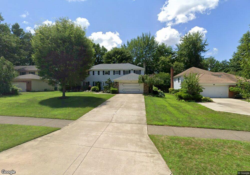
1996 Savannah Pkwy Westlake, OH 44145
Estimated Value: $527,000 - $637,000
4
Beds
3
Baths
3,074
Sq Ft
$188/Sq Ft
Est. Value
About This Home
This home is located at 1996 Savannah Pkwy, Westlake, OH 44145 and is currently estimated at $578,689, approximately $188 per square foot. 1996 Savannah Pkwy is a home located in Cuyahoga County with nearby schools including Dover Intermediate School, Lee Burneson Middle School, and Westlake High School.
Ownership History
Date
Name
Owned For
Owner Type
Purchase Details
Closed on
Oct 16, 2021
Sold by
French Barbara A
Bought by
French Robert A and French Barbara A
Current Estimated Value
Purchase Details
Closed on
Aug 27, 1979
Bought by
French Robert A
Purchase Details
Closed on
Jan 1, 1979
Bought by
Savannah Assoc
Create a Home Valuation Report for This Property
The Home Valuation Report is an in-depth analysis detailing your home's value as well as a comparison with similar homes in the area
Home Values in the Area
Average Home Value in this Area
Purchase History
| Date | Buyer | Sale Price | Title Company |
|---|---|---|---|
| French Robert A | -- | -- | |
| French Robert A | $113,600 | -- | |
| Savannah Assoc | -- | -- |
Source: Public Records
Tax History Compared to Growth
Tax History
| Year | Tax Paid | Tax Assessment Tax Assessment Total Assessment is a certain percentage of the fair market value that is determined by local assessors to be the total taxable value of land and additions on the property. | Land | Improvement |
|---|---|---|---|---|
| 2024 | $7,353 | $165,025 | $32,795 | $132,230 |
| 2023 | $6,532 | $127,050 | $30,730 | $96,320 |
| 2022 | $6,450 | $127,050 | $30,730 | $96,320 |
| 2021 | $6,458 | $127,050 | $30,730 | $96,320 |
| 2020 | $6,480 | $117,640 | $28,460 | $89,180 |
| 2019 | $6,283 | $336,100 | $81,300 | $254,800 |
| 2018 | $6,276 | $117,640 | $28,460 | $89,180 |
| 2017 | $6,308 | $111,100 | $25,870 | $85,230 |
| 2016 | $6,274 | $111,100 | $25,870 | $85,230 |
| 2015 | $5,647 | $111,100 | $25,870 | $85,230 |
| 2014 | $5,647 | $99,190 | $23,100 | $76,090 |
Source: Public Records
Map
Nearby Homes
- 1670 Cedarwood Dr Unit 148
- 1625 Cedarwood Dr Unit 218
- 1510 Alder Ln Unit 7C
- 1480 Cedarwood Dr Unit 21F
- 1316 Cedarwood Dr Unit D3
- 31000 Logan Ct
- 1476 Bobby Ln Unit 7
- 31035 Wilderness Trail
- 29379 Detroit Rd
- 29363 Detroit Rd Unit 5
- 2075 Bassett Rd
- 31072 Riviera Ln
- 31587 Turtle Cr
- 2647 Piedmont Ct Unit 56
- 0 Avon Rd Unit 4372752
- 0 Avon Rd Unit 4372753
- 2847 Rocky Ridge Dr
- 2705 Rocky Ridge Dr
- 2891 Rocky Ridge Dr Unit V/L 173
- V/L Rocky Ridge Dr
- 2008 Savannah Pkwy
- 1984 Savannah Pkwy
- 1972 Savannah Pkwy
- 2020 Savannah Pkwy
- 1997 Savannah Pkwy
- 2044 Georgia Dr
- 1985 Savannah Pkwy
- 1960 Savannah Pkwy Unit 1960
- 2011 Savannah Pkwy
- 1956 Savannah Pkwy Unit 1956
- 2032 Savannah Pkwy
- 1952 Savannah Pkwy
- 1967 Savannah Pkwy
- 1948 Savannah Pkwy Unit 1948
- 2050 Georgia Dr
- 2023 Savannah Pkwy
- 1944 Savannah Pkwy
- 1940 Savannah Pkwy
- 1959 Savannah Pkwy
- 1936 Savannah Pkwy Unit 1936