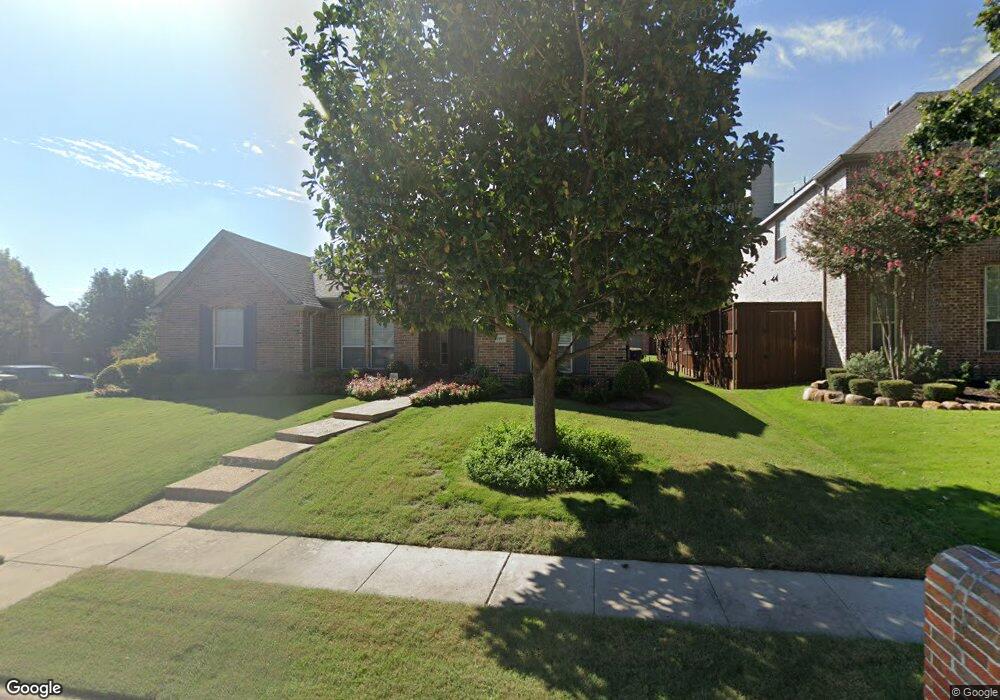
1997 Thorndale Cir Frisco, TX 75034
Southwest Frisco NeighborhoodEstimated Value: $597,000 - $642,000
3
Beds
2
Baths
2,590
Sq Ft
$237/Sq Ft
Est. Value
About This Home
This home is located at 1997 Thorndale Cir, Frisco, TX 75034 and is currently estimated at $612,966, approximately $236 per square foot. 1997 Thorndale Cir is a home located in Denton County with nearby schools including Sparks Elementary School, Pioneer Heritage Middle School, and Reedy High School.
Ownership History
Date
Name
Owned For
Owner Type
Purchase Details
Closed on
Mar 8, 2001
Sold by
Frisco Lakes Ltd
Bought by
Darling Homes Dallas Ltd
Current Estimated Value
Home Financials for this Owner
Home Financials are based on the most recent Mortgage that was taken out on this home.
Original Mortgage
$208,000
Outstanding Balance
$75,342
Interest Rate
6.95%
Mortgage Type
Purchase Money Mortgage
Estimated Equity
$537,624
Create a Home Valuation Report for This Property
The Home Valuation Report is an in-depth analysis detailing your home's value as well as a comparison with similar homes in the area
Home Values in the Area
Average Home Value in this Area
Purchase History
| Date | Buyer | Sale Price | Title Company |
|---|---|---|---|
| Darling Homes Dallas Ltd | -- | Southwest Land Title |
Source: Public Records
Mortgage History
| Date | Status | Borrower | Loan Amount |
|---|---|---|---|
| Open | Darling Homes Dallas Ltd | $208,000 |
Source: Public Records
Tax History Compared to Growth
Tax History
| Year | Tax Paid | Tax Assessment Tax Assessment Total Assessment is a certain percentage of the fair market value that is determined by local assessors to be the total taxable value of land and additions on the property. | Land | Improvement |
|---|---|---|---|---|
| 2025 | $2,123 | $556,358 | $204,695 | $431,914 |
| 2024 | $8,448 | $505,780 | $0 | $0 |
| 2023 | $2,100 | $459,800 | $204,695 | $472,273 |
| 2022 | $4,261 | $418,000 | $163,756 | $331,004 |
| 2021 | $7,531 | $380,000 | $112,582 | $267,418 |
| 2020 | $7,337 | $365,000 | $112,582 | $252,418 |
| 2019 | $7,540 | $357,000 | $112,582 | $244,418 |
| 2018 | $7,784 | $363,000 | $112,582 | $250,418 |
| 2017 | $7,662 | $355,000 | $112,582 | $242,418 |
| 2016 | $7,182 | $332,750 | $88,019 | $245,499 |
| 2015 | $4,081 | $302,500 | $88,019 | $225,765 |
| 2014 | $4,081 | $275,000 | $88,019 | $186,981 |
| 2013 | -- | $262,000 | $88,019 | $173,981 |
Source: Public Records
Map
Nearby Homes
- 2100 Copperfield Ct
- 1859 Hollow Falls Ct
- 1632 Pleasant Valley Ln
- 8201 Mckenzie Ct
- 1860 Hollow Falls Ct
- 2066 Angel Falls Dr
- 2338 Angel Falls Dr
- 2498 Spillway Cir
- 2385 Bannister Dr
- 2499 Streamside Ct
- 1717 Angel Falls Dr
- 2313 Campfire Ln
- 2339 Campfire Ln
- 2040 Chisholm Trail
- 9124 Wichita Trail
- 8646 Robertson Dr
- 1699 Garrison Dr
- 2734 Sparks Dr
- 9202 Wichita Trail
- 9221 Wichita Trail
- 1979 Thorndale Cir
- 1961 Thorndale Cir
- 1998 Calloway Ln
- 8552 Shady Shore Dr
- 1980 Calloway Ln
- 8578 Shady Shore Dr
- 8540 Shady Shore Dr
- 1996 Thorndale Cir
- 1978 Thorndale Cir
- 8604 Shady Shore Dr
- 8520 Shady Shore Dr
- 1960 Calloway Ln
- 1943 Thorndale Cir
- 1960 Thorndale Cir
- 8628 Shady Shore Dr
- 8500 Shady Shore Dr
- 1940 Calloway Ln
- 1944 Thorndale Cir
- 1925 Thorndale Cir
- 8595 Ventura Ln