19980 S Bakers Ferry Rd Oregon City, OR 97045
Estimated Value: $671,000 - $982,000
2
Beds
2
Baths
1,880
Sq Ft
$444/Sq Ft
Est. Value
About This Home
This home is located at 19980 S Bakers Ferry Rd, Oregon City, OR 97045 and is currently estimated at $834,792, approximately $444 per square foot. 19980 S Bakers Ferry Rd is a home located in Clackamas County with nearby schools including Redland Elementary School, Tumwata Middle School, and Oregon City Senior High School.
Ownership History
Date
Name
Owned For
Owner Type
Purchase Details
Closed on
Jul 23, 1997
Sold by
Mccullough Rick A and Mccullough Barbara M
Bought by
Smith Craig A and Youngflesh Amy E
Current Estimated Value
Home Financials for this Owner
Home Financials are based on the most recent Mortgage that was taken out on this home.
Original Mortgage
$200,000
Outstanding Balance
$27,931
Interest Rate
7.7%
Estimated Equity
$806,861
Create a Home Valuation Report for This Property
The Home Valuation Report is an in-depth analysis detailing your home's value as well as a comparison with similar homes in the area
Home Values in the Area
Average Home Value in this Area
Purchase History
| Date | Buyer | Sale Price | Title Company |
|---|---|---|---|
| Smith Craig A | $250,000 | Ticor Title Insurance |
Source: Public Records
Mortgage History
| Date | Status | Borrower | Loan Amount |
|---|---|---|---|
| Open | Smith Craig A | $200,000 |
Source: Public Records
Tax History Compared to Growth
Tax History
| Year | Tax Paid | Tax Assessment Tax Assessment Total Assessment is a certain percentage of the fair market value that is determined by local assessors to be the total taxable value of land and additions on the property. | Land | Improvement |
|---|---|---|---|---|
| 2025 | $7,200 | $463,232 | -- | -- |
| 2024 | $6,435 | $449,740 | -- | -- |
| 2023 | $6,435 | $436,641 | $0 | $0 |
| 2022 | $5,879 | $423,924 | $0 | $0 |
| 2021 | $5,620 | $411,577 | $0 | $0 |
| 2020 | $5,453 | $399,590 | $0 | $0 |
| 2019 | $5,323 | $387,952 | $0 | $0 |
| 2018 | $5,094 | $376,652 | $0 | $0 |
| 2017 | $4,991 | $365,682 | $0 | $0 |
| 2016 | $4,888 | $355,031 | $0 | $0 |
| 2015 | $4,766 | $344,690 | $0 | $0 |
| 2014 | $4,487 | $334,650 | $0 | $0 |
Source: Public Records
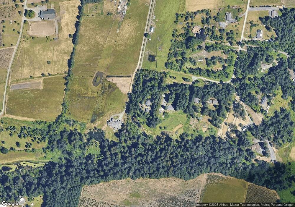
Map
Nearby Homes
- 19710 SE Semple Rd
- 19691 SE Semple Rd
- 16710 S Gerber Rd
- 0 S Latourette Rd
- 16731 S Harding Rd
- 17493 S Sinclair Ln
- 18133 S Clear Acres Dr
- 21200 SE Curtis Rd
- 23636 SE Highway 224
- 17927 S Dick Dr
- 16400 SE Highway 224
- 0 S Strowbridge Rd Unit 329200310
- 0 S Strowbridge Rd Unit 24366285
- 19595 S Fischers Mill Rd
- 15827 S Lucky Ln
- 17171 SE 232nd Dr
- 18200 S Christine Ct
- 16265 SE Highway 224
- 17386 SE 232nd Dr
- 16300 Oregon 224 Unit 10
- 15834 S Priscilla Ln
- 19958 S Bakers Ferry Rd
- 15832 S Priscilla Ln
- 15830 S Priscilla Ln
- 0 S Ford Ct
- 20125 S Ford Ct
- 19966 S Bakers Ferry Rd
- 15777 S Priscilla Ln
- 15800 S Priscilla Ln
- 15824 S Priscilla Ln
- 15770 S Priscilla Ln
- 15750 S Priscilla Ln
- 19988 S Bakers Ferry Rd
- 19918 S Bakers Ferry Rd
- 15768 S Priscilla Ln
- 20040 S Bakers Ferry Rd
- 15681 S Priscilla Ln
- 15744 S Priscilla Ln
- 19970 S Bakers Ferry Rd
- 20090 S Bakers Ferry Rd