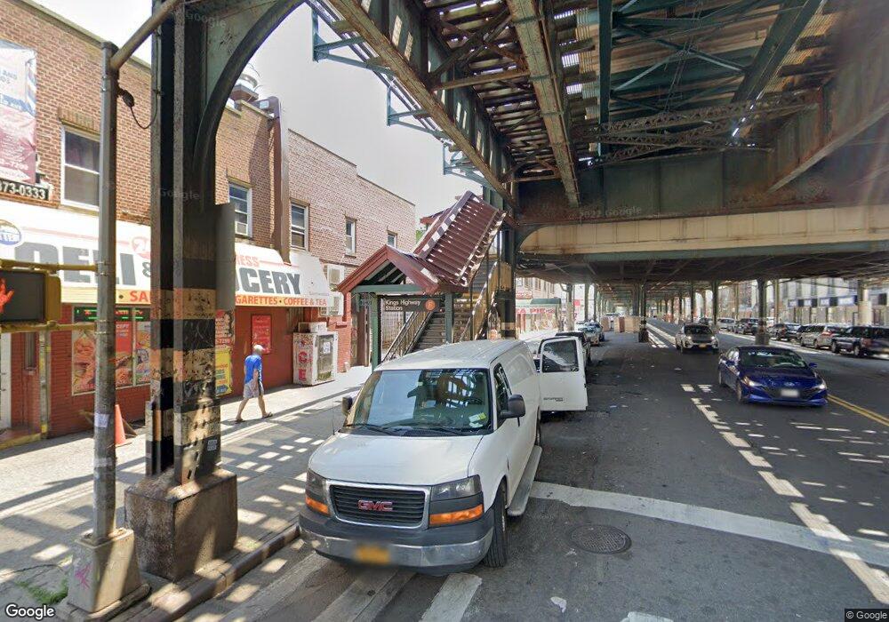
1999 McDonald Ave Brooklyn, NY 11223
Gravesend Neighborhood
--
Bed
--
Bath
27,400
Sq Ft
0.44
Acres
About This Home
This home is located at 1999 McDonald Ave, Brooklyn, NY 11223. 1999 McDonald Ave is a home located in Kings County with nearby schools including P.S. 215 Morris H Weiss, Is 228 David A Boody, and Abraham Lincoln High School.
Ownership History
Date
Name
Owned For
Owner Type
Purchase Details
Closed on
Nov 17, 1998
Sold by
1997 Mcd Realty Comp
Bought by
Joseph Arnold Realty Corp
Home Financials for this Owner
Home Financials are based on the most recent Mortgage that was taken out on this home.
Original Mortgage
$140,000
Interest Rate
6.76%
Mortgage Type
Construction
Create a Home Valuation Report for This Property
The Home Valuation Report is an in-depth analysis detailing your home's value as well as a comparison with similar homes in the area
Home Values in the Area
Average Home Value in this Area
Purchase History
| Date | Buyer | Sale Price | Title Company |
|---|---|---|---|
| Joseph Arnold Realty Corp | $1,800,000 | First American Title Ins Co |
Source: Public Records
Mortgage History
| Date | Status | Borrower | Loan Amount |
|---|---|---|---|
| Previous Owner | Joseph Arnold Realty Corp | $140,000 |
Source: Public Records
Tax History Compared to Growth
Tax History
| Year | Tax Paid | Tax Assessment Tax Assessment Total Assessment is a certain percentage of the fair market value that is determined by local assessors to be the total taxable value of land and additions on the property. | Land | Improvement |
|---|---|---|---|---|
| 2025 | $123,170 | $1,403,100 | $259,650 | $1,143,450 |
| 2024 | $123,170 | $1,464,300 | $259,650 | $1,204,650 |
| 2023 | $118,953 | $1,381,500 | $259,650 | $1,121,850 |
| 2022 | $109,040 | $1,013,850 | $259,650 | $754,200 |
| 2021 | $96,727 | $904,500 | $259,650 | $644,850 |
| 2020 | $96,727 | $1,195,650 | $259,650 | $936,000 |
| 2019 | $98,629 | $1,091,250 | $259,650 | $831,600 |
| 2018 | $89,516 | $973,350 | $259,650 | $713,700 |
| 2017 | $81,151 | $985,500 | $259,650 | $725,850 |
| 2016 | $79,616 | $935,550 | $259,650 | $675,900 |
| 2015 | $44,542 | $704,700 | $259,650 | $445,050 |
| 2014 | $44,542 | $657,900 | $259,650 | $398,250 |
Source: Public Records
Map
Nearby Homes
- 393 Avenue S Unit 4H
- 393 Avenue S Unit 1G
- 387 Ave S Unit 4E
- 393 Avenue S Unit 3G
- 367 Avenue S Unit 4A
- 367 Avenue S Unit 2E
- 367 Avenue S Unit 1E
- 387 Avenue S Unit 4E
- 431 Kings Hwy
- 1902 E 1st St
- 394 Avenue S Unit 2E
- 388 Avenue S Unit 2C
- 388 Avenue S Unit 1B
- 388 Avenue S Unit 1A
- 83 Van Sicklen St
- 412 Kings Hwy Unit 6C
- 379 Kings Hwy Unit 2A
- 1728 W 2nd St
- 1734 E 2nd St
- 157 Lake St
- 1997 McDonald Ave
- 19 Billings Place
- 21 Billings Place
- 23 Billings Place
- 478 Kings Hwy
- 482A Kings Hwy
- 480 Kings Hwy
- 482 Kings Hwy
- 486 Kings Hwy
- 25 Billings Place
- 484 Kings Hwy
- 31 Billings Place
- 488 Kings Hwy
- 492-500 Kings Hwy
- 492 Kings Hwy Unit 3A DUPLEX
- 492 Kings Hwy Unit 2C
- 492 Kings Hwy Unit 2B
- 492 Kings Hwy Unit 2A
- 492 Kings Hwy Unit 3D
- 492 Kings Hwy Unit 3C