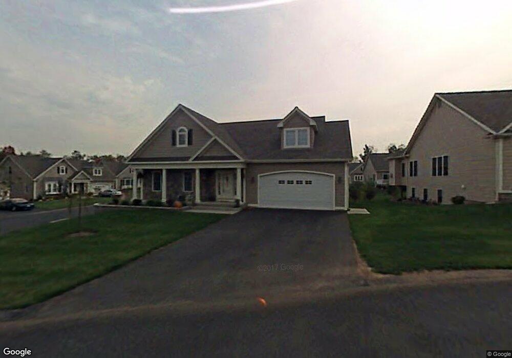
2 Brandee Ln Rocky Hill, CT 06067
Estimated Value: $614,190 - $713,000
2
Beds
3
Baths
2,428
Sq Ft
$271/Sq Ft
Est. Value
About This Home
This home is located at 2 Brandee Ln, Rocky Hill, CT 06067 and is currently estimated at $657,548, approximately $270 per square foot. 2 Brandee Ln is a home located in Hartford County with nearby schools including Albert D. Griswold Middle School and Rocky Hill High School.
Ownership History
Date
Name
Owned For
Owner Type
Purchase Details
Closed on
Nov 11, 2024
Sold by
Sherman Stephen and Sherman Victoria
Bought by
Stephen and Stephen Sherman V
Current Estimated Value
Purchase Details
Closed on
Mar 28, 2006
Sold by
Glastonbury Bldrs Llc
Bought by
Sherman Victoria and Sherman Stephen
Create a Home Valuation Report for This Property
The Home Valuation Report is an in-depth analysis detailing your home's value as well as a comparison with similar homes in the area
Home Values in the Area
Average Home Value in this Area
Purchase History
| Date | Buyer | Sale Price | Title Company |
|---|---|---|---|
| Stephen | -- | None Available | |
| Stephen | -- | None Available | |
| Stephen | -- | None Available | |
| Sherman Victoria | $425,580 | -- | |
| Sherman Victoria | $425,580 | -- |
Source: Public Records
Mortgage History
| Date | Status | Borrower | Loan Amount |
|---|---|---|---|
| Previous Owner | Sherman Victoria | $50,000 | |
| Previous Owner | Sherman Victoria | $220,000 | |
| Previous Owner | Sherman Victoria | $270,000 | |
| Previous Owner | Sherman Victoria | $300,000 |
Source: Public Records
Tax History Compared to Growth
Tax History
| Year | Tax Paid | Tax Assessment Tax Assessment Total Assessment is a certain percentage of the fair market value that is determined by local assessors to be the total taxable value of land and additions on the property. | Land | Improvement |
|---|---|---|---|---|
| 2025 | $11,879 | $392,840 | $0 | $392,840 |
| 2024 | $11,459 | $392,840 | $0 | $392,840 |
| 2023 | $8,705 | $242,340 | $0 | $242,340 |
| 2022 | $8,366 | $242,340 | $0 | $242,340 |
| 2021 | $8,264 | $242,340 | $0 | $242,340 |
| 2020 | $8,143 | $242,340 | $0 | $242,340 |
| 2019 | $7,876 | $242,340 | $0 | $242,340 |
| 2018 | $8,217 | $253,610 | $0 | $253,610 |
| 2017 | $8,014 | $253,610 | $0 | $253,610 |
| 2016 | $7,862 | $253,610 | $0 | $253,610 |
| 2015 | $7,532 | $253,610 | $0 | $253,610 |
| 2014 | $7,532 | $253,610 | $0 | $253,610 |
Source: Public Records
Map
Nearby Homes
- 15 Murphy Dr
- 370 Hayes Rd
- 27 Little Oak Ln Unit 27
- 36 Copper Beech Dr
- 50 Little Oak Ln Unit 50
- 46 Little Oak Ln Unit 46
- 326 France St
- 221 Westmeadow Rd
- 40 Country Side Dr
- 634 New Britain Ave
- 45 Sandy Dr
- 45 Pequot Dr Unit 45
- 12 Clemens Ct Unit 12
- 26 Stevens Place Unit 26
- 163 Speno Ridge
- 18 Stone Hill Dr
- 42 Rose Ct
- 124 Speno Ridge
- 404 The Mews Unit 404
- 19 Sunnybrook Dr