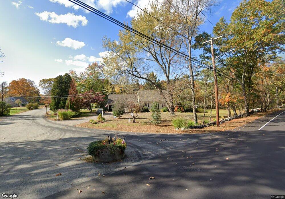
2 Colonial Rd Medway, MA 02053
Estimated Value: $609,000 - $638,000
3
Beds
2
Baths
1,574
Sq Ft
$395/Sq Ft
Est. Value
About This Home
This home is located at 2 Colonial Rd, Medway, MA 02053 and is currently estimated at $621,290, approximately $394 per square foot. 2 Colonial Rd is a home located in Norfolk County with nearby schools including John D. McGovern Elementary School, Burke-Memorial Elementary, and Medway Middle School.
Ownership History
Date
Name
Owned For
Owner Type
Purchase Details
Closed on
Aug 16, 2001
Sold by
Macleod Jacqueline E
Bought by
Tobin Matthew
Current Estimated Value
Home Financials for this Owner
Home Financials are based on the most recent Mortgage that was taken out on this home.
Original Mortgage
$222,750
Outstanding Balance
$86,954
Interest Rate
7.16%
Mortgage Type
Purchase Money Mortgage
Estimated Equity
$534,336
Create a Home Valuation Report for This Property
The Home Valuation Report is an in-depth analysis detailing your home's value as well as a comparison with similar homes in the area
Home Values in the Area
Average Home Value in this Area
Purchase History
| Date | Buyer | Sale Price | Title Company |
|---|---|---|---|
| Tobin Matthew | $247,500 | -- |
Source: Public Records
Mortgage History
| Date | Status | Borrower | Loan Amount |
|---|---|---|---|
| Open | Tobin Matthew | $222,750 |
Source: Public Records
Tax History Compared to Growth
Tax History
| Year | Tax Paid | Tax Assessment Tax Assessment Total Assessment is a certain percentage of the fair market value that is determined by local assessors to be the total taxable value of land and additions on the property. | Land | Improvement |
|---|---|---|---|---|
| 2025 | $6,933 | $486,500 | $291,800 | $194,700 |
| 2024 | $7,006 | $486,500 | $291,800 | $194,700 |
| 2023 | $6,693 | $419,900 | $241,800 | $178,100 |
| 2022 | $6,650 | $392,800 | $214,700 | $178,100 |
| 2021 | $6,214 | $355,900 | $198,000 | $157,900 |
| 2020 | $5,927 | $338,700 | $183,400 | $155,300 |
| 2019 | $5,748 | $338,700 | $183,400 | $155,300 |
| 2018 | $5,812 | $329,100 | $175,100 | $154,000 |
| 2017 | $5,715 | $318,900 | $168,800 | $150,100 |
| 2016 | $5,663 | $312,700 | $162,600 | $150,100 |
| 2015 | $5,335 | $292,500 | $150,100 | $142,400 |
| 2014 | $5,241 | $278,200 | $150,100 | $128,100 |
Source: Public Records
Map
Nearby Homes
- 116 Winthrop St
- 7 Hill St
- 0 Hill St
- 12 Longmeadow Ln
- 625 Norfolk St
- 30 Broken Tree Rd
- 36 Lovering St
- 1 Walnut Ln
- 140 Goulding St
- 14 Heritage Dr
- 12 Lovering St
- 1037 Washington St
- 154 Union St
- 106 Holliston St
- 266 Willowgate Rise
- 1 Jameson Dr Unit 1
- 3 Jameson Dr Unit 3
- 22 Sunset Dr
- 3 Meryl St
- 156 Mitchell Rd
- 4 Colonial Rd
- 1 Colonial Rd
- 125 Winthrop St
- 3 Colonial Rd
- 120 Winthrop St
- 6 Colonial Rd
- 122 Winthrop St
- 122 Winthrop St Unit 1
- 121 Winthrop St
- 5 Colonial Rd
- 118 Winthrop St
- 123 Winthrop St
- 7 Colonial Rd
- 119 Winthrop St
- 8 Colonial Rd
- 4 Diane Dr
- 2 Diane Dr
- 4 Cider Mill Rd
- 9 Colonial Rd
- 127 Winthrop St