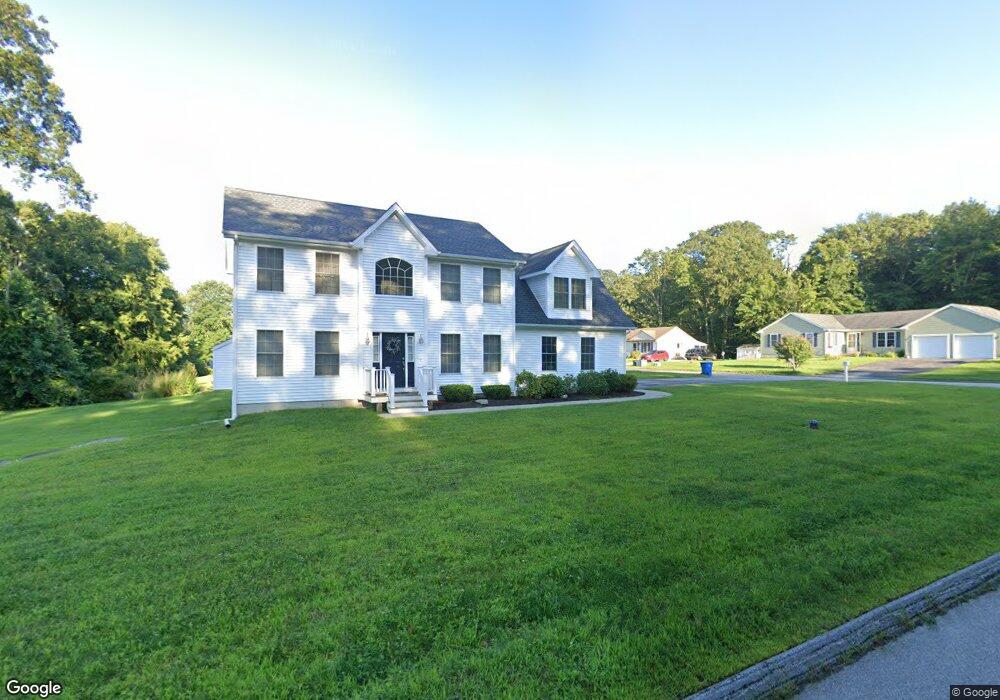
2 Dennis Dr Uncasville, CT 06382
Oxoboxo River NeighborhoodEstimated Value: $473,000 - $615,000
3
Beds
7
Baths
2,329
Sq Ft
$227/Sq Ft
Est. Value
About This Home
This home is located at 2 Dennis Dr, Uncasville, CT 06382 and is currently estimated at $528,570, approximately $226 per square foot. 2 Dennis Dr is a home located in New London County with nearby schools including Leonard J. Tyl Middle School, Montville High School, and Bradley School-New London Regional.
Ownership History
Date
Name
Owned For
Owner Type
Purchase Details
Closed on
May 15, 2015
Sold by
Team Projects Llc
Bought by
Hellstein Michael A and Hellstein Jessica A
Current Estimated Value
Home Financials for this Owner
Home Financials are based on the most recent Mortgage that was taken out on this home.
Original Mortgage
$248,000
Outstanding Balance
$190,013
Interest Rate
3.69%
Mortgage Type
New Conventional
Estimated Equity
$338,557
Purchase Details
Closed on
May 1, 2014
Sold by
9 R Burlake Llc
Bought by
Team Projects Llc
Home Financials for this Owner
Home Financials are based on the most recent Mortgage that was taken out on this home.
Original Mortgage
$50,000
Interest Rate
4.32%
Create a Home Valuation Report for This Property
The Home Valuation Report is an in-depth analysis detailing your home's value as well as a comparison with similar homes in the area
Home Values in the Area
Average Home Value in this Area
Purchase History
| Date | Buyer | Sale Price | Title Company |
|---|---|---|---|
| Hellstein Michael A | -- | -- | |
| Hellstein Michael A | -- | -- | |
| Team Projects Llc | $50,000 | -- | |
| Team Projects Llc | $50,000 | -- |
Source: Public Records
Mortgage History
| Date | Status | Borrower | Loan Amount |
|---|---|---|---|
| Open | Hellstein Michael A | $248,000 | |
| Closed | Hellstein Michael A | $30,969 | |
| Closed | Hellstein Michael A | $248,000 | |
| Previous Owner | Team Projects Llc | $50,000 |
Source: Public Records
Tax History Compared to Growth
Tax History
| Year | Tax Paid | Tax Assessment Tax Assessment Total Assessment is a certain percentage of the fair market value that is determined by local assessors to be the total taxable value of land and additions on the property. | Land | Improvement |
|---|---|---|---|---|
| 2025 | $7,653 | $265,090 | $40,320 | $224,770 |
| 2024 | $7,362 | $265,090 | $40,320 | $224,770 |
| 2023 | $7,362 | $265,090 | $40,320 | $224,770 |
| 2022 | $7,081 | $265,090 | $40,320 | $224,770 |
| 2021 | $6,982 | $219,910 | $33,120 | $186,790 |
| 2020 | $7,121 | $219,910 | $33,120 | $186,790 |
| 2019 | $7,149 | $219,910 | $33,120 | $186,790 |
| 2018 | $6,978 | $219,910 | $33,120 | $186,790 |
| 2017 | $6,971 | $219,910 | $33,120 | $186,790 |
| 2016 | $6,532 | $213,400 | $39,340 | $174,060 |
| 2015 | $6,532 | $137,770 | $39,340 | $98,430 |
| 2014 | -- | $137,520 | $39,340 | $98,180 |
Source: Public Records
Map
Nearby Homes
- 0 Monahan Dr
- 270 Gay Hill Rd
- 57 Roselund Hill Rd
- 320 Maple Ave
- 19 Wyndwood Rd
- 22 Heather Brook Rd
- 2 Mountain Laurel Ridge
- 5 Mountain Laurel Ridge
- 1 High Ridge Cir
- 45 Lynch Hill Rd
- 523 Route 163
- 10 Marcia Dr
- 727 Old Colchester Rd
- 49 Cottonwood Ln
- 79 Cottonwood Ln
- 245 Norwich New London Turnpike Unit 22
- 197 Norwich-New London Turnpike
- 170 Raymond Hill Rd
- 36 Depot Rd
- 82C Pires Dr