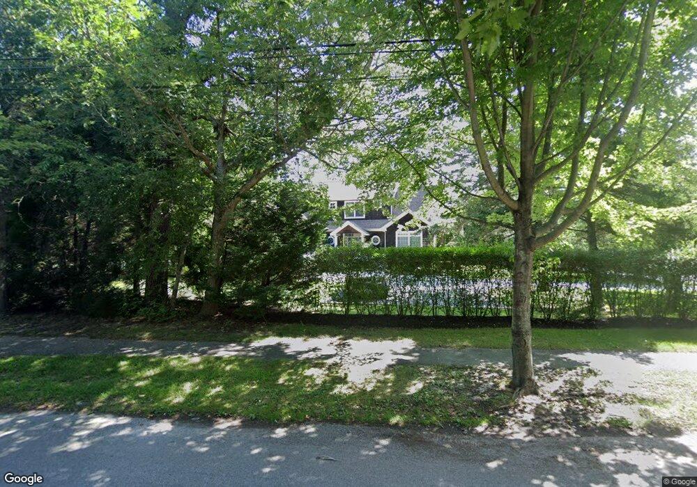
2 Lamb Ave Quogue, NY 11959
Estimated Value: $2,294,000 - $2,672,000
--
Bed
--
Bath
--
Sq Ft
0.5
Acres
About This Home
This home is located at 2 Lamb Ave, Quogue, NY 11959 and is currently estimated at $2,436,380. 2 Lamb Ave is a home.
Ownership History
Date
Name
Owned For
Owner Type
Purchase Details
Closed on
May 12, 2011
Sold by
Kewo Corp
Bought by
Healy Dennis and Ta Sinh
Current Estimated Value
Home Financials for this Owner
Home Financials are based on the most recent Mortgage that was taken out on this home.
Original Mortgage
$862,500
Outstanding Balance
$598,569
Interest Rate
4.85%
Mortgage Type
Unknown
Estimated Equity
$1,837,811
Purchase Details
Closed on
Sep 14, 2007
Sold by
Carroll Michael Francis Francis X
Bought by
Kewo Corp
Create a Home Valuation Report for This Property
The Home Valuation Report is an in-depth analysis detailing your home's value as well as a comparison with similar homes in the area
Home Values in the Area
Average Home Value in this Area
Purchase History
| Date | Buyer | Sale Price | Title Company |
|---|---|---|---|
| Healy Dennis | $1,150,000 | -- | |
| Kewo Corp | $525,000 | William W Esseks | |
| Kewo Corp | $525,000 | William W Esseks |
Source: Public Records
Mortgage History
| Date | Status | Borrower | Loan Amount |
|---|---|---|---|
| Open | Healy Dennis | $862,500 |
Source: Public Records
Tax History Compared to Growth
Tax History
| Year | Tax Paid | Tax Assessment Tax Assessment Total Assessment is a certain percentage of the fair market value that is determined by local assessors to be the total taxable value of land and additions on the property. | Land | Improvement |
|---|---|---|---|---|
| 2024 | $5,001 | $1,204,500 | $554,800 | $649,700 |
| 2023 | $5,950 | $1,204,500 | $554,800 | $649,700 |
| 2022 | $2,355 | $1,204,500 | $554,800 | $649,700 |
| 2021 | $2,214 | $1,204,500 | $554,800 | $649,700 |
| 2020 | $5,446 | $1,204,500 | $554,800 | $649,700 |
| 2019 | $5,315 | $0 | $0 | $0 |
| 2018 | -- | $1,026,600 | $499,300 | $527,300 |
| 2017 | $2,819 | $1,026,600 | $499,300 | $527,300 |
| 2016 | $3,030 | $1,026,600 | $499,300 | $527,300 |
| 2015 | -- | $1,026,600 | $499,300 | $527,300 |
| 2014 | -- | $1,026,600 | $499,300 | $527,300 |
Source: Public Records
Map
Nearby Homes
- 69 Old Depot Rd
- 25 Jessups Landing Ct E
- 107 Jessup Ave
- 8 Hidden Path
- 37 Foster Rd
- 39A Foster Rd
- 5 Laurents Way
- 102 & 92 Dune Rd
- 1 Acorn Path
- 4 Barker Ln
- 107 Quogue St
- 5A/5B Jessup Ln
- 801 Montauk Hwy
- 41 Park Cir
- 39 & 41 Foster Rd
- 7 Quantuck Bay Rd
- 19 Quaquanantuck Ln
- 16 Elizabeth Ln
- 149 Montauk Hwy
- 125 Montauk Hwy
- 4 Lamb Ave
- 8 Lamb Ave
- 65A Montauk Hwy
- 56 Old Meeting House Rd
- 59 Old Meeting House Rd
- 7 Lamb Ave
- 54 Old Meeting House Rd
- 51 Montauk Hwy
- 10 Lamb Ave
- 58 Montauk Hwy
- 57 Montauk Hwy
- 49 Montauk Hwy
- 49 Montauk Hwy Unit 49
- 11 Lamb Ave
- 49 Montauk Hwy
- 9 Edgewood Rd
- 14 Lamb Ave
- 61 Montauk Hwy
- 47 Montauk Hwy
- 47 Montauk Hwy Unit 47