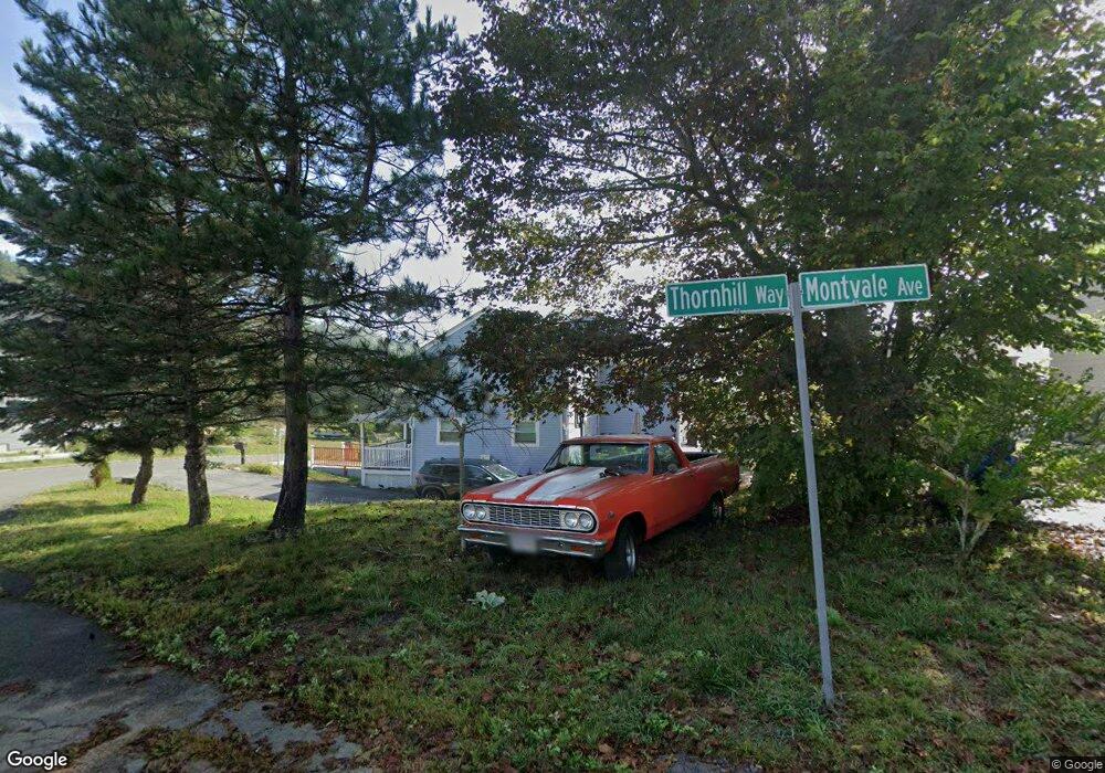
2 Montvale Ave Gloucester, MA 01930
Estimated Value: $818,000 - $1,001,000
5
Beds
4
Baths
2,950
Sq Ft
$317/Sq Ft
Est. Value
About This Home
This home is located at 2 Montvale Ave, Gloucester, MA 01930 and is currently estimated at $934,534, approximately $316 per square foot. 2 Montvale Ave is a home located in Essex County with nearby schools including Beeman Memorial, Ralph B O'maley Middle School, and Faith Christian School.
Ownership History
Date
Name
Owned For
Owner Type
Purchase Details
Closed on
Sep 16, 2011
Sold by
Tam Props Llc
Bought by
Siragusa Rose M and Sragusa Franco
Current Estimated Value
Purchase Details
Closed on
Jan 8, 2010
Sold by
Cape Ann Sb
Bought by
Tam Prop Llc
Purchase Details
Closed on
Feb 13, 2009
Sold by
Porper Robert B and Porper Michael J
Bought by
Cape Ann Sb
Purchase Details
Closed on
Sep 30, 1991
Sold by
Geller Scott L
Bought by
Northeast Savings
Purchase Details
Closed on
Jun 26, 1987
Sold by
Corliss Warren D
Bought by
Briar Ledge Rt
Create a Home Valuation Report for This Property
The Home Valuation Report is an in-depth analysis detailing your home's value as well as a comparison with similar homes in the area
Home Values in the Area
Average Home Value in this Area
Purchase History
| Date | Buyer | Sale Price | Title Company |
|---|---|---|---|
| Siragusa Rose M | $350,000 | -- | |
| Tam Prop Llc | $280,000 | -- | |
| Cape Ann Sb | $325,000 | -- | |
| Northeast Savings | $187,326 | -- | |
| Briar Ledge Rt | $215,000 | -- |
Source: Public Records
Mortgage History
| Date | Status | Borrower | Loan Amount |
|---|---|---|---|
| Previous Owner | Briar Ledge Rt | $71,635 | |
| Previous Owner | Briar Ledge Rt | $187,000 | |
| Previous Owner | Briar Ledge Rt | $152,000 |
Source: Public Records
Tax History Compared to Growth
Tax History
| Year | Tax Paid | Tax Assessment Tax Assessment Total Assessment is a certain percentage of the fair market value that is determined by local assessors to be the total taxable value of land and additions on the property. | Land | Improvement |
|---|---|---|---|---|
| 2025 | $8,650 | $889,900 | $200,600 | $689,300 |
| 2024 | $8,565 | $880,300 | $191,000 | $689,300 |
| 2023 | $9,210 | $869,700 | $170,600 | $699,100 |
| 2022 | $8,301 | $707,700 | $148,400 | $559,300 |
| 2021 | $8,030 | $645,500 | $134,900 | $510,600 |
| 2020 | $7,598 | $616,200 | $134,900 | $481,300 |
| 2019 | $7,037 | $554,500 | $134,900 | $419,600 |
| 2018 | $6,593 | $509,900 | $134,900 | $375,000 |
| 2017 | $6,293 | $477,100 | $128,400 | $348,700 |
| 2016 | $6,032 | $443,200 | $134,000 | $309,200 |
| 2015 | $5,917 | $433,500 | $134,000 | $299,500 |
Source: Public Records
Map
Nearby Homes
- 18 Cherry St
- 49 Thurston Point Rd
- 65 Poplar St
- 109 Riverview Rd
- 19 Mystic Ave
- 78 Grove St
- 6 Beauport Ave
- 196 Washington St
- 672 Washington St
- 40 Sargent St
- 3 Stone Ct
- 119 Pleasant St
- 33 Maplewood Ave Unit 21
- 15 Harvard St
- 6 River Rd
- 8 Summer St Unit 103
- 4 Mount Vernon St
- 22 Taylor St Unit 1
- 145 Essex Ave Unit 610
- 188 Atlantic St
- 2 Montvale Ave Unit A
- 2 Montvale Ave Unit B
- 4 Montvale Ave
- 1 Thornhill Way
- 12 Deacon Farm Ln
- 8 Montvale Ave
- 3 Thornhill Way
- 14 Seeall St
- 13 Seeall St
- 3 Montvale Ave
- 5 Thornhill Way
- 10 Seeall St
- 7 Seeall St
- 7 Montvale Ave
- 10&10R Montvale Ave
- 10 Montvale Ave
- 46 Echo Ave
- 7 Thornhill Way
- 4 Echo Ave
- 8 Seeall St