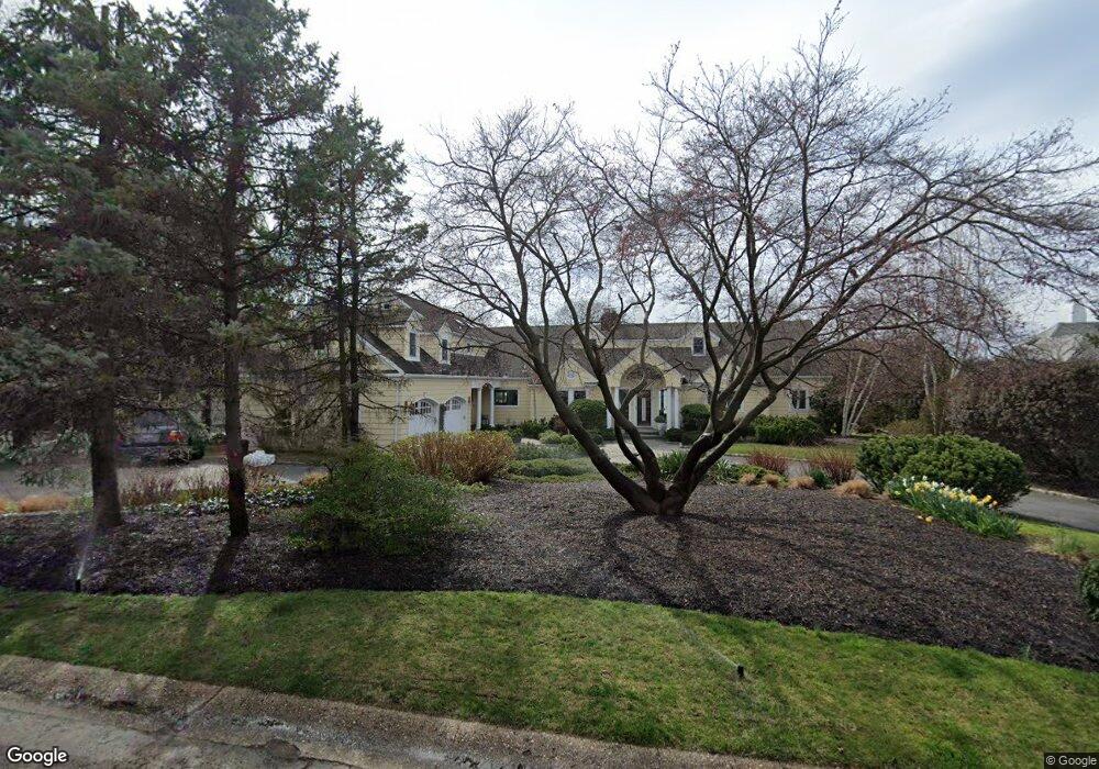
2 South Ct Port Washington, NY 11050
Estimated Value: $2,510,000 - $3,390,994
--
Bed
5
Baths
3,979
Sq Ft
$742/Sq Ft
Est. Value
About This Home
This home is located at 2 South Ct, Port Washington, NY 11050 and is currently estimated at $2,950,497, approximately $741 per square foot. 2 South Ct is a home located in Nassau County with nearby schools including John Philip Sousa Elementary School, Carrie Palmer Weber Middle School, and Paul D. Schreiber Senior High School.
Ownership History
Date
Name
Owned For
Owner Type
Purchase Details
Closed on
Nov 29, 2021
Sold by
Todd Marcy
Bought by
Todd Qualified Personal Residence Trust
Current Estimated Value
Purchase Details
Closed on
Jun 30, 2017
Sold by
Todd Randolph and Todd Marcy
Bought by
Todd Marcy
Purchase Details
Closed on
Dec 16, 1998
Sold by
Malloy Gerard P and Malloy Alice Q
Bought by
Todd Randolf and Todd Marcy
Create a Home Valuation Report for This Property
The Home Valuation Report is an in-depth analysis detailing your home's value as well as a comparison with similar homes in the area
Home Values in the Area
Average Home Value in this Area
Purchase History
| Date | Buyer | Sale Price | Title Company |
|---|---|---|---|
| Todd Qualified Personal Residence Trust | -- | None Available | |
| Todd Qualified Personal Residence Trust | -- | None Available | |
| Todd Qualified Personal Residence Trust | -- | None Available | |
| Todd Marcy | -- | None Available | |
| Todd Marcy | -- | None Available | |
| Todd Marcy | -- | None Available | |
| Todd Randolf | $1,200,000 | -- | |
| Todd Randolf | $1,200,000 | -- |
Source: Public Records
Tax History Compared to Growth
Tax History
| Year | Tax Paid | Tax Assessment Tax Assessment Total Assessment is a certain percentage of the fair market value that is determined by local assessors to be the total taxable value of land and additions on the property. | Land | Improvement |
|---|---|---|---|---|
| 2025 | $54,894 | $2,462 | $1,121 | $1,341 |
| 2024 | $16,419 | $2,671 | $1,279 | $1,392 |
| 2023 | $47,975 | $2,520 | $1,147 | $1,373 |
| 2022 | $47,975 | $2,567 | $1,279 | $1,288 |
| 2021 | $46,011 | $2,422 | $1,279 | $1,143 |
| 2020 | $30,929 | $2,285 | $2,284 | $1 |
| 2019 | $29,489 | $2,285 | $2,284 | $1 |
| 2018 | $29,489 | $2,460 | $0 | $0 |
| 2017 | $18,837 | $2,460 | $2,459 | $1 |
| 2016 | $27,977 | $2,460 | $2,459 | $1 |
| 2015 | $10,143 | $2,804 | $1,827 | $977 |
| 2014 | $10,143 | $2,804 | $1,827 | $977 |
| 2013 | $9,530 | $2,804 | $1,827 | $977 |
Source: Public Records
Map
Nearby Homes
- 0 Route 5 & 20
- 454 Main St
- 47 Carlton Ave
- 372 Main St Unit 105
- 2 Smull Ln
- 1 Luquer Rd
- 28 Charles St
- 18 S Washington St
- 74 Bayview Ave Unit A
- 96 Davis Rd
- 38 Madison St Unit 38L
- 1 Toms Point Ln Unit Bldg.2, Apt.4A
- 43 Amherst Rd
- 17 Willow Dr
- 113 Murray Ave
- 100 Gristmill Ln
- 125 Main St Unit 1T
- 125 Main St Unit 2H
- 22 Franklin Ave
- 34 Davis Rd