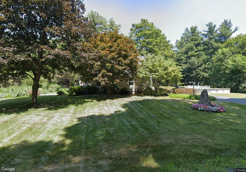
2 Whitney Way Montague, MA 01351
Estimated Value: $367,000 - $462,000
2
Beds
2
Baths
1,568
Sq Ft
$265/Sq Ft
Est. Value
About This Home
This home is located at 2 Whitney Way, Montague, MA 01351 and is currently estimated at $415,920, approximately $265 per square foot. 2 Whitney Way is a home located in Franklin County.
Ownership History
Date
Name
Owned For
Owner Type
Purchase Details
Closed on
May 3, 2004
Sold by
Toomey Shaun C
Bought by
Codella Brenda and Toomey Shaun C
Current Estimated Value
Purchase Details
Closed on
Jul 20, 1995
Sold by
Whitney Warren H
Bought by
Toomey Shaun C
Home Financials for this Owner
Home Financials are based on the most recent Mortgage that was taken out on this home.
Original Mortgage
$99,400
Interest Rate
7.49%
Mortgage Type
Purchase Money Mortgage
Create a Home Valuation Report for This Property
The Home Valuation Report is an in-depth analysis detailing your home's value as well as a comparison with similar homes in the area
Home Values in the Area
Average Home Value in this Area
Purchase History
| Date | Buyer | Sale Price | Title Company |
|---|---|---|---|
| Codella Brenda | -- | -- | |
| Codella Brenda | -- | -- | |
| Toomey Shaun C | $110,500 | -- | |
| Toomey Shaun C | $110,500 | -- |
Source: Public Records
Mortgage History
| Date | Status | Borrower | Loan Amount |
|---|---|---|---|
| Previous Owner | Toomey Shaun C | $108,000 | |
| Previous Owner | Toomey Shaun C | $99,400 | |
| Previous Owner | Toomey Shaun C | $70,000 |
Source: Public Records
Tax History Compared to Growth
Tax History
| Year | Tax Paid | Tax Assessment Tax Assessment Total Assessment is a certain percentage of the fair market value that is determined by local assessors to be the total taxable value of land and additions on the property. | Land | Improvement |
|---|---|---|---|---|
| 2025 | $5,033 | $330,900 | $91,500 | $239,400 |
| 2024 | $4,917 | $313,200 | $91,500 | $221,700 |
| 2023 | $4,826 | $308,400 | $91,500 | $216,900 |
| 2022 | $4,840 | $288,800 | $91,500 | $197,300 |
| 2021 | $4,357 | $249,800 | $77,500 | $172,300 |
| 2020 | $4,352 | $247,700 | $77,500 | $170,200 |
| 2019 | $4,231 | $247,000 | $87,500 | $159,500 |
| 2018 | $4,081 | $238,800 | $87,500 | $151,300 |
| 2017 | $3,981 | $238,800 | $87,500 | $151,300 |
| 2016 | $3,936 | $223,500 | $82,900 | $140,600 |
| 2015 | $3,791 | $223,500 | $82,900 | $140,600 |
| 2014 | $3,734 | $228,500 | $82,900 | $145,600 |
Source: Public Records
Map
Nearby Homes
- 2 Gunn Rd
- 35 A N Leverett Rd
- 495 Federal St Unit B
- 39 N Leverett Rd
- 64 Main St
- 134 Montague Rd
- 132 Meadow Rd
- 477 River Rd
- 0 Pocumtuck Dr Unit 73379330
- 10 Hannabrooke Dr
- 7 Stage Rd
- 238 N Main St
- 259 Long Plain Rd
- 13 Capt Lathrop Dr
- 345 Greenfield Rd
- 208 Greenfield Rd
- 40 Eastern Ave
- 15 Crestview Dr
- Lot C Mountain Rd
- Lot A Mountain Rd
- 4 Whitney Way
- 73 Sunderland Rd
- 83 Sunderland Rd
- 21 Fosters Rd
- 71 Sunderland Rd
- 2 Fosters Rd
- 89 Sunderland Rd
- 37 Fosters Rd
- 66 Sunderland Rd
- 53 L S Rte 47 Montague Rd
- 495 Montague Rd
- 29 Fosters Rd
- 6 Whitney Way
- 7 Whitney Way
- 457 Montague Rd
- 80 Sunderland Rd
- 33 Fosters Rd
- 56 Sunderland Rd
- 472 Montague Rd
- 184 Reservation Rd